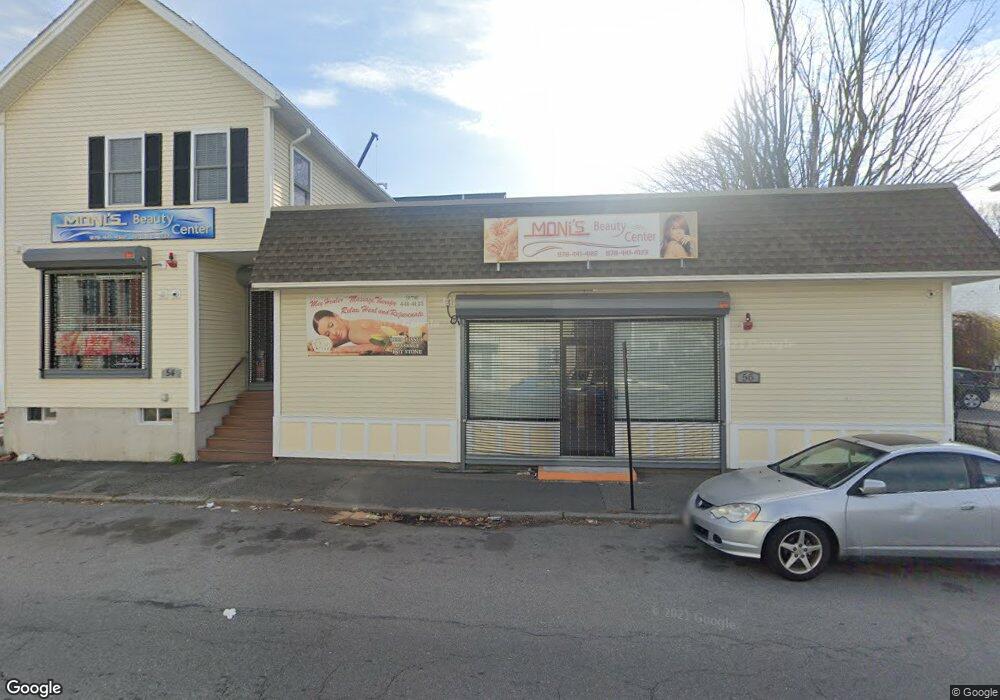
54 Branch St Unit 56 Lowell, MA 01851
Lower Highlands Neighborhood
3
Beds
1
Bath
1,600
Sq Ft
4,792
Sq Ft Lot
About This Home
This home is located at 54 Branch St Unit 56, Lowell, MA 01851. 54 Branch St Unit 56 is a home located in Middlesex County with nearby schools including Charles W. Morey Elementary School, Abraham Lincoln Elementary School, and Joseph McAvinnue Elementary School.
Ownership History
Date
Name
Owned For
Owner Type
Purchase Details
Closed on
Oct 30, 2009
Sold by
Leclair Paul R and Rbs Citizens Na
Bought by
Lac Soleap and San Sokha
Purchase Details
Closed on
May 22, 2000
Sold by
Sok Suang and Sok Soung
Bought by
Leclair Paul R
Home Financials for this Owner
Home Financials are based on the most recent Mortgage that was taken out on this home.
Original Mortgage
$157,800
Interest Rate
8.19%
Mortgage Type
Commercial
Purchase Details
Closed on
Aug 28, 1997
Sold by
Leonard Donald H and Dumais Jean A
Bought by
Sok Soung and Hour Liv
Home Financials for this Owner
Home Financials are based on the most recent Mortgage that was taken out on this home.
Original Mortgage
$81,135
Interest Rate
7.41%
Mortgage Type
Commercial
Create a Home Valuation Report for This Property
The Home Valuation Report is an in-depth analysis detailing your home's value as well as a comparison with similar homes in the area
Home Values in the Area
Average Home Value in this Area
Purchase History
| Date | Buyer | Sale Price | Title Company |
|---|---|---|---|
| Lac Soleap | $105,000 | -- | |
| Lac Soleap | $105,000 | -- | |
| Leclair Paul R | $140,000 | -- | |
| Leclair Paul R | $140,000 | -- | |
| Sok Soung | $83,000 | -- | |
| Sok Soung | $83,000 | -- |
Source: Public Records
Mortgage History
| Date | Status | Borrower | Loan Amount |
|---|---|---|---|
| Previous Owner | Sok Soung | $157,800 | |
| Previous Owner | Sok Soung | $81,135 |
Source: Public Records
Tax History Compared to Growth
Tax History
| Year | Tax Paid | Tax Assessment Tax Assessment Total Assessment is a certain percentage of the fair market value that is determined by local assessors to be the total taxable value of land and additions on the property. | Land | Improvement |
|---|---|---|---|---|
| 2025 | $9,463 | $423,000 | $99,300 | $323,700 |
| 2024 | $9,408 | $404,300 | $94,600 | $309,700 |
| 2023 | $9,164 | $376,200 | $86,000 | $290,200 |
| 2022 | $0 | $412,200 | $74,700 | $337,500 |
| 2021 | $0 | $388,100 | $65,000 | $323,100 |
| 2020 | $9,538 | $356,300 | $65,000 | $291,300 |
| 2019 | $0 | $349,900 | $66,700 | $283,200 |
| 2018 | $0 | $324,600 | $63,600 | $261,000 |
| 2017 | $0 | $323,700 | $67,800 | $255,900 |
| 2016 | $2,966 | $313,400 | $66,100 | $247,300 |
| 2015 | $2,966 | $191,600 | $53,400 | $138,200 |
| 2013 | $3,146 | $209,600 | $64,000 | $145,600 |
Source: Public Records
Map
Nearby Homes
- 42 Branch St
- 21 Kimball Ave
- 173 Westford St
- 490 School St Unit 2
- 45 Marshall St
- 27 Royal St
- 987 Middlesex St
- 28 Grand St
- 100 Lane St
- 19 Lawton St
- 491 Dutton St Unit 320
- 491 Dutton St Unit 403
- 491 Dutton St Unit 415
- 491 Dutton St Unit 502
- 491 Dutton St Unit 504
- 18 Burgess St
- 11 Columbus Ave
- 312 Wilder St
- 710 School St
- 48 E St
- 5 Smith St Unit C5
- 52 Branch St
- 11 Smith St
- 62 Branch St
- 51A Branch St
- 51 Branch St Unit R
- 51 Branch St
- 42 Branch St Unit 2
- 8 Smith St
- 8 Smith St Unit 8
- 8 Smith St Unit 2
- 68 Branch St
- 19 Smith St
- 115117 Branch St
- 68 Branch St
- 61 Branch St
- 67 Branch St
- 12 Smith St Unit 9
- 12 Smith St Unit 8
- 12 Smith St Unit 7