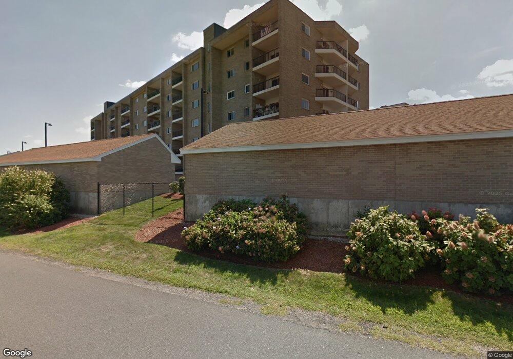
54 Broad Reach Unit 64 North Weymouth, MA 02191
Estimated Value: $502,000 - $581,000
2
Beds
2
Baths
1,292
Sq Ft
$418/Sq Ft
Est. Value
About This Home
This home is located at 54 Broad Reach Unit 64, North Weymouth, MA 02191 and is currently estimated at $539,920, approximately $417 per square foot. 54 Broad Reach Unit 64 is a home located in Norfolk County with nearby schools including Wessagusset Elementary School, Abigail Adams Middle School, and Weymouth Middle School Chapman.
Ownership History
Date
Name
Owned For
Owner Type
Purchase Details
Closed on
Mar 25, 2005
Sold by
East Bay At Weym Corp
Bought by
Troy Patricia E and White Thomas G
Current Estimated Value
Home Financials for this Owner
Home Financials are based on the most recent Mortgage that was taken out on this home.
Original Mortgage
$276,000
Interest Rate
5.56%
Mortgage Type
Purchase Money Mortgage
Create a Home Valuation Report for This Property
The Home Valuation Report is an in-depth analysis detailing your home's value as well as a comparison with similar homes in the area
Home Values in the Area
Average Home Value in this Area
Purchase History
| Date | Buyer | Sale Price | Title Company |
|---|---|---|---|
| Troy Patricia E | $345,000 | -- |
Source: Public Records
Mortgage History
| Date | Status | Borrower | Loan Amount |
|---|---|---|---|
| Open | White Thomas G | $200,000 | |
| Closed | Troy Patricia E | $276,000 |
Source: Public Records
Tax History Compared to Growth
Tax History
| Year | Tax Paid | Tax Assessment Tax Assessment Total Assessment is a certain percentage of the fair market value that is determined by local assessors to be the total taxable value of land and additions on the property. | Land | Improvement |
|---|---|---|---|---|
| 2025 | $5,179 | $512,800 | $0 | $512,800 |
| 2024 | $5,035 | $490,300 | $0 | $490,300 |
| 2023 | $4,705 | $450,200 | $0 | $450,200 |
| 2022 | $4,655 | $406,200 | $0 | $406,200 |
| 2021 | $4,476 | $381,300 | $0 | $381,300 |
| 2020 | $4,444 | $372,800 | $0 | $372,800 |
| 2019 | $4,266 | $352,000 | $0 | $352,000 |
| 2018 | $4,131 | $330,500 | $0 | $330,500 |
| 2017 | $4,035 | $315,000 | $0 | $315,000 |
| 2016 | $3,556 | $277,800 | $0 | $277,800 |
| 2015 | $3,430 | $265,900 | $0 | $265,900 |
| 2014 | $3,525 | $265,000 | $0 | $265,000 |
Source: Public Records
Map
Nearby Homes
- 51 Broad Reach Unit T51A
- 51 Broad Reach Unit T23A
- 73 Broad Reach Unit T123C
- 61 Broad Reach Unit T62B
- 130 Broad Reach Unit 302
- 130 Broad Reach Unit 303
- 130 Broad Reach Unit 409
- 130 Broad Reach Unit 305
- 130 Broad Reach Unit 206
- 10 Shipyard Dr Unit 312
- 10 Shipyard Dr Unit 313
- 16 Caldwell St
- 141 Hms Stayner Dr Unit 306
- 125 Hms Halsted Dr Unit 125
- 20 Harlem Rd
- 87 Fort Point Rd
- 34 Kimball Beach Rd
- 9 Regatta Rd
- 16 Foley Beach Rd
- 303 Tuckers Ln
- 54-64 Broad Reach Unit 404
- 54-64 Broad Reach Unit 309
- 54 Broad Reach Unit 202
- 54 Broad Reach Unit 401
- 54-64 Broad Reach Unit 106A
- 54 Broad Reach Unit 302
- 54 Broad Reach Unit 64
- 54 Broad Reach Unit 64
- 54 Broad Reach Unit 64
- 54 Broad Reach Unit 64
- 54 Broad Reach Unit 64
- 54 Broad Reach Unit 64
- 54 Broad Reach Unit 64
- 54 Broad Reach Unit 64
- 54 Broad Reach Unit 64
- 54 Broad Reach Unit 64
- 54 Broad Reach Unit 64
- 54 Broad Reach Unit 64
- 54 Broad Reach Unit 64
- 54 Broad Reach Unit 64