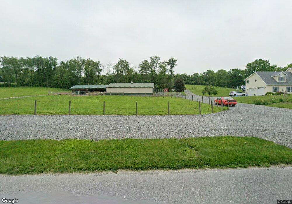
54 Browns Rd Schuylkill Haven, PA 17972
Estimated Value: $416,000
4
Beds
4
Baths
2,726
Sq Ft
$153/Sq Ft
Est. Value
About This Home
This home is located at 54 Browns Rd, Schuylkill Haven, PA 17972 and is currently estimated at $416,000, approximately $152 per square foot. 54 Browns Rd is a home located in Schuylkill County with nearby schools including Pine Grove Elementary School, Pine Grove Area Middle School, and Pine Grove Area High School.
Ownership History
Date
Name
Owned For
Owner Type
Purchase Details
Closed on
May 11, 2006
Sold by
Lapp Philip P
Bought by
Hertzog Thomas Paul
Current Estimated Value
Purchase Details
Closed on
Nov 1, 2005
Sold by
Lapp Philip P
Bought by
Czaplicki Matthew W and Czaplicki Theresa
Home Financials for this Owner
Home Financials are based on the most recent Mortgage that was taken out on this home.
Original Mortgage
$185,000
Interest Rate
5.85%
Mortgage Type
Construction
Purchase Details
Closed on
Mar 30, 2005
Sold by
Lapp Philip P
Bought by
Poslosky John A and Poslosky Ann Marie T
Create a Home Valuation Report for This Property
The Home Valuation Report is an in-depth analysis detailing your home's value as well as a comparison with similar homes in the area
Home Values in the Area
Average Home Value in this Area
Purchase History
| Date | Buyer | Sale Price | Title Company |
|---|---|---|---|
| Hertzog Thomas Paul | $95,000 | None Available | |
| Czaplicki Matthew W | $54,000 | None Available | |
| Poslosky John A | $51,000 | None Available | |
| Yoder Jeffrey S | $51,000 | None Available |
Source: Public Records
Mortgage History
| Date | Status | Borrower | Loan Amount |
|---|---|---|---|
| Previous Owner | Czaplicki Matthew W | $185,000 |
Source: Public Records
Tax History Compared to Growth
Tax History
| Year | Tax Paid | Tax Assessment Tax Assessment Total Assessment is a certain percentage of the fair market value that is determined by local assessors to be the total taxable value of land and additions on the property. | Land | Improvement |
|---|---|---|---|---|
| 2025 | $5,188 | $77,570 | $1,185 | $76,385 |
| 2024 | $4,703 | $77,570 | $1,185 | $76,385 |
| 2023 | $4,703 | $77,570 | $1,185 | $76,385 |
| 2022 | $4,703 | $77,570 | $1,185 | $76,385 |
| 2021 | $4,750 | $77,570 | $1,185 | $76,385 |
| 2020 | $4,750 | $77,570 | $1,185 | $76,385 |
| 2018 | $4,594 | $77,570 | $1,185 | $76,385 |
| 2017 | $5,395 | $94,025 | $17,640 | $76,385 |
| 2015 | -- | $94,025 | $17,640 | $76,385 |
| 2011 | -- | $94,025 | $0 | $0 |
Source: Public Records
Map
Nearby Homes
- 234 Frieden Manor
- 107 Blue Mountain Rd
- 0 Manor Rd
- 1114 Deturksville Rd
- 979 Deturksville Rd
- 257 Covered Bridge Rd
- 118 Natures Rd
- 11 Spring Rd
- 519 Birds Hill Rd
- 0 S Route 183 Unit PASK130762
- 30 Meadow Brook Dr
- 651 Deturksville Rd
- 773 S Route 183
- 485 Airport Rd
- 430 Mohave Dr
- 441 Wanna Dr
- 174 & 175 Totem Dr
- 174 Totem Dr
- 988 Horseman Dr
- 981 Horseman Dr
- 62 Browns Rd
- 67 Summer Hill Rd
- 59 Browns Rd
- 73 Summer Hill Rd
- 43 Summer Hill Rd
- 77 Summer Hill Rd
- 36 Summer Hill Rd
- 81 Summer Hill Rd
- 35 Browns Rd
- 85 Summer Hill Rd
- 52 Summer Hill Rd
- 29 Summer Hill Rd
- 62 Summer Hill Rd
- 89 Summer Hill Rd
- 19 Summer Hill Rd
- 22 Summer Hill Rd
- 60 Summer Hill Rd
- 86 Browns Church Rd
- 22 Browns Rd
- 40 Summer Hill Rd