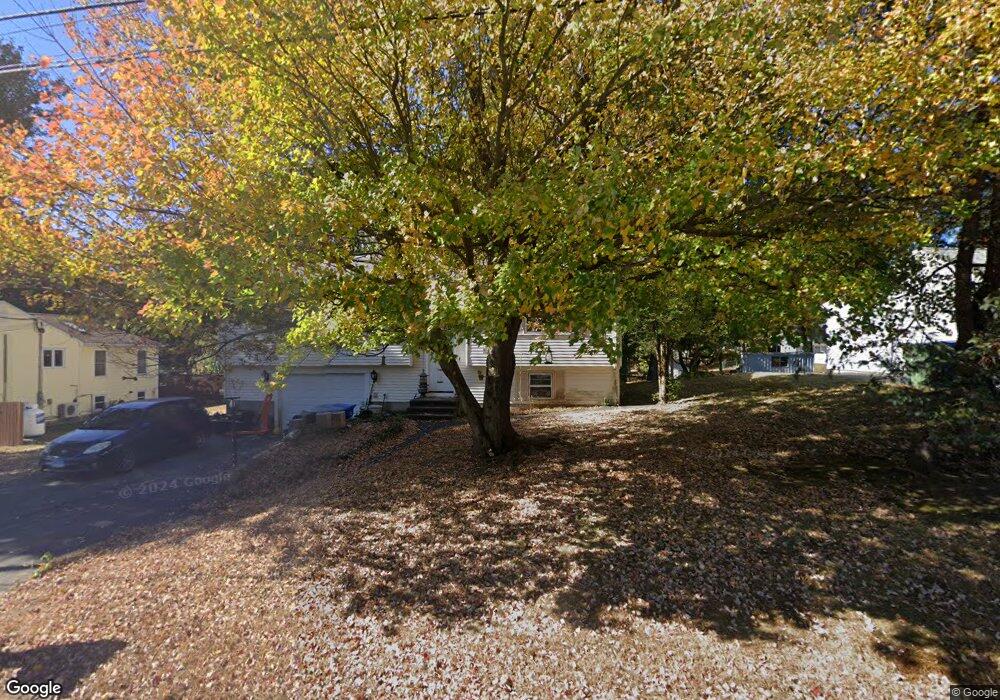
54 Candy Ln Bristol, CT 06010
North Bristol NeighborhoodEstimated Value: $322,000 - $384,000
3
Beds
1
Bath
1,182
Sq Ft
$299/Sq Ft
Est. Value
About This Home
This home is located at 54 Candy Ln, Bristol, CT 06010 and is currently estimated at $353,332, approximately $298 per square foot. 54 Candy Ln is a home located in Hartford County with nearby schools including Ivy Drive School, Northeast Middle School, and Bristol Eastern High School.
Ownership History
Date
Name
Owned For
Owner Type
Purchase Details
Closed on
Nov 6, 2009
Sold by
Us Bank Na Tr
Bought by
Murray Scott D and Murray Linda M
Current Estimated Value
Home Financials for this Owner
Home Financials are based on the most recent Mortgage that was taken out on this home.
Original Mortgage
$115,000
Interest Rate
5.06%
Purchase Details
Closed on
Sep 18, 2009
Sold by
Khan Mohammad
Bought by
Us Bk
Home Financials for this Owner
Home Financials are based on the most recent Mortgage that was taken out on this home.
Original Mortgage
$115,000
Interest Rate
5.06%
Purchase Details
Closed on
Jan 10, 1996
Sold by
Browne Frank and Browne Rosemary
Bought by
Khan Mohammed Jalil
Create a Home Valuation Report for This Property
The Home Valuation Report is an in-depth analysis detailing your home's value as well as a comparison with similar homes in the area
Home Values in the Area
Average Home Value in this Area
Purchase History
| Date | Buyer | Sale Price | Title Company |
|---|---|---|---|
| Murray Scott D | $118,000 | -- | |
| Us Bk | -- | -- | |
| Khan Mohammed Jalil | $105,000 | -- |
Source: Public Records
Mortgage History
| Date | Status | Borrower | Loan Amount |
|---|---|---|---|
| Open | Khan Mohammed Jalil | $156,800 | |
| Closed | Khan Mohammed Jalil | $150,000 | |
| Closed | Khan Mohammed Jalil | $115,000 |
Source: Public Records
Tax History
| Year | Tax Paid | Tax Assessment Tax Assessment Total Assessment is a certain percentage of the fair market value that is determined by local assessors to be the total taxable value of land and additions on the property. | Land | Improvement |
|---|---|---|---|---|
| 2025 | $6,041 | $178,990 | $52,150 | $126,840 |
| 2024 | $5,701 | $178,990 | $52,150 | $126,840 |
| 2023 | $5,432 | $178,990 | $52,150 | $126,840 |
| 2022 | $5,235 | $136,500 | $36,190 | $100,310 |
| 2021 | $5,235 | $136,500 | $36,190 | $100,310 |
| 2020 | $5,235 | $136,500 | $36,190 | $100,310 |
| 2019 | $5,194 | $136,500 | $36,190 | $100,310 |
| 2018 | $5,034 | $136,500 | $36,190 | $100,310 |
| 2017 | $4,931 | $136,850 | $51,730 | $85,120 |
| 2016 | $4,931 | $136,850 | $51,730 | $85,120 |
| 2015 | $4,736 | $136,850 | $51,730 | $85,120 |
| 2014 | $4,736 | $136,850 | $51,730 | $85,120 |
Source: Public Records
Map
Nearby Homes
Your Personal Tour Guide
Ask me questions while you tour the home.