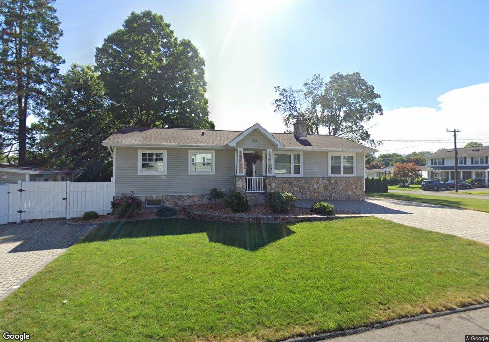
54 Carleton Rd Wethersfield, CT 06109
Estimated Value: $325,000 - $364,000
3
Beds
2
Baths
1,222
Sq Ft
$285/Sq Ft
Est. Value
About This Home
This home is located at 54 Carleton Rd, Wethersfield, CT 06109 and is currently estimated at $347,687, approximately $284 per square foot. 54 Carleton Rd is a home located in Hartford County with nearby schools including Emerson-Williams School, Silas Deane Middle School, and Wethersfield High School.
Ownership History
Date
Name
Owned For
Owner Type
Purchase Details
Closed on
Jul 6, 2006
Sold by
Carpenter 3Rd Paul
Bought by
Staranowicz Marcin
Current Estimated Value
Home Financials for this Owner
Home Financials are based on the most recent Mortgage that was taken out on this home.
Original Mortgage
$160,800
Outstanding Balance
$103,606
Interest Rate
8.25%
Estimated Equity
$244,081
Purchase Details
Closed on
Apr 1, 2002
Sold by
Lamonte Dominic
Bought by
Carpenter Paul
Home Financials for this Owner
Home Financials are based on the most recent Mortgage that was taken out on this home.
Original Mortgage
$119,050
Interest Rate
6.88%
Purchase Details
Closed on
Aug 9, 1999
Sold by
Oneill John J
Bought by
Lamonte Dominic
Purchase Details
Closed on
Sep 24, 1992
Sold by
Heaney Anne Bethel
Bought by
Oneill John J
Create a Home Valuation Report for This Property
The Home Valuation Report is an in-depth analysis detailing your home's value as well as a comparison with similar homes in the area
Home Values in the Area
Average Home Value in this Area
Purchase History
| Date | Buyer | Sale Price | Title Company |
|---|---|---|---|
| Staranowicz Marcin | $201,000 | -- | |
| Carpenter Paul | $120,000 | -- | |
| Lamonte Dominic | $102,900 | -- | |
| Oneill John J | $105,000 | -- |
Source: Public Records
Mortgage History
| Date | Status | Borrower | Loan Amount |
|---|---|---|---|
| Open | Oneill John J | $160,800 | |
| Closed | Oneill John J | $40,200 | |
| Previous Owner | Oneill John J | $119,050 | |
| Previous Owner | Oneill John J | $9,360 |
Source: Public Records
Tax History
| Year | Tax Paid | Tax Assessment Tax Assessment Total Assessment is a certain percentage of the fair market value that is determined by local assessors to be the total taxable value of land and additions on the property. | Land | Improvement |
|---|---|---|---|---|
| 2025 | $8,312 | $201,660 | $69,260 | $132,400 |
| 2024 | $6,304 | $145,860 | $72,100 | $73,760 |
| 2023 | $6,094 | $145,860 | $72,100 | $73,760 |
| 2022 | $5,992 | $145,860 | $72,100 | $73,760 |
| 2021 | $5,932 | $145,860 | $72,100 | $73,760 |
| 2020 | $5,935 | $145,860 | $72,100 | $73,760 |
| 2019 | $5,942 | $145,860 | $72,100 | $73,760 |
| 2018 | $5,860 | $143,700 | $68,400 | $75,300 |
| 2017 | $5,715 | $143,700 | $68,400 | $75,300 |
| 2016 | $5,538 | $143,700 | $68,400 | $75,300 |
| 2015 | $5,488 | $143,700 | $68,400 | $75,300 |
| 2014 | $5,280 | $143,700 | $68,400 | $75,300 |
Source: Public Records
Map
Nearby Homes
- 295 Ridge Rd Unit 8
- 1 Bristol St
- 55 Rutledge Rd
- 144 Brown St
- 19 Albert Ave
- 1 Brussels Ave
- 173 Timber Trail
- 273 Forest Dr
- 20 Forest Dr
- 63 Wells Farm Dr
- 129 Goff Rd
- 192 Wolcott Hill Rd
- 219-221 Jordan Ln
- 62 Schoolhouse Crossing
- 15 Potter Crossing
- 764 Ridge Rd
- 25 Tinsmith Crossing
- 208 Mountain St
- 23 Hillcrest Ave
- 158 Dix Rd
Your Personal Tour Guide
Ask me questions while you tour the home.