54 Cedar Creek Rd Sudbury, MA 01776
Estimated Value: $960,000 - $1,180,000
4
Beds
3
Baths
2,056
Sq Ft
$519/Sq Ft
Est. Value
About This Home
This home is located at 54 Cedar Creek Rd, Sudbury, MA 01776 and is currently estimated at $1,068,075, approximately $519 per square foot. 54 Cedar Creek Rd is a home located in Middlesex County with nearby schools including Josiah Haynes Elementary School, Ephraim Curtis Middle School, and Lincoln-Sudbury Regional High School.
Ownership History
Date
Name
Owned For
Owner Type
Purchase Details
Closed on
Jul 1, 2003
Sold by
Peck Russell K and Peck Margit S
Bought by
Coughlin David F and Coughlin Lynn H
Current Estimated Value
Home Financials for this Owner
Home Financials are based on the most recent Mortgage that was taken out on this home.
Original Mortgage
$200,000
Outstanding Balance
$86,758
Interest Rate
5.53%
Mortgage Type
Purchase Money Mortgage
Estimated Equity
$981,317
Purchase Details
Closed on
Aug 17, 2000
Sold by
Sullivan Edward L
Bought by
Peck Russell K and Peck Margti S
Create a Home Valuation Report for This Property
The Home Valuation Report is an in-depth analysis detailing your home's value as well as a comparison with similar homes in the area
Home Values in the Area
Average Home Value in this Area
Purchase History
| Date | Buyer | Sale Price | Title Company |
|---|---|---|---|
| Coughlin David F | $590,500 | -- | |
| Coughlin David F | $590,500 | -- | |
| Peck Russell K | $405,000 | -- |
Source: Public Records
Mortgage History
| Date | Status | Borrower | Loan Amount |
|---|---|---|---|
| Open | Peck Russell K | $53,000 | |
| Open | Coughlin David F | $200,000 | |
| Closed | Peck Russell K | $200,000 |
Source: Public Records
Tax History Compared to Growth
Tax History
| Year | Tax Paid | Tax Assessment Tax Assessment Total Assessment is a certain percentage of the fair market value that is determined by local assessors to be the total taxable value of land and additions on the property. | Land | Improvement |
|---|---|---|---|---|
| 2025 | $12,740 | $870,200 | $461,300 | $408,900 |
| 2024 | $12,280 | $840,500 | $447,700 | $392,800 |
| 2023 | $11,727 | $743,600 | $414,500 | $329,100 |
| 2022 | $11,557 | $640,300 | $380,100 | $260,200 |
| 2021 | $11,264 | $598,200 | $380,100 | $218,100 |
| 2020 | $11,037 | $598,200 | $380,100 | $218,100 |
| 2019 | $10,714 | $598,200 | $380,100 | $218,100 |
| 2018 | $10,742 | $599,100 | $400,100 | $199,000 |
| 2017 | $10,509 | $592,400 | $395,300 | $197,100 |
| 2016 | $10,171 | $571,400 | $380,100 | $191,300 |
| 2015 | $9,472 | $538,200 | $350,700 | $187,500 |
| 2014 | $9,448 | $524,000 | $340,300 | $183,700 |
Source: Public Records
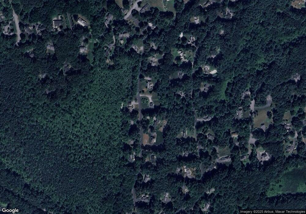
Map
Nearby Homes
- 16 Blacksmith Dr
- 42 Dakin Rd
- 67 Powder Mill Rd
- 369 Border Rd
- 57 Longfellow Rd
- 589 North Rd
- 29 Black Birch Ln Unit 29
- 9 Black Birch Ln Unit 9
- 5 Oak Ridge Dr Unit 7
- 96 Forest Ridge Rd Unit 96
- 10 Oak Ridge Dr Unit 5
- 40 Rookery Ln Unit 5
- 72 Rookery Ln Unit 3
- 401 Emery Ln Unit 104
- 5 Taintor Dr
- 24 Rookery Ln Unit 6
- 56 Rookery Ln Unit 4
- 14 Frost Ln
- 250 Great Rd
- 80 N Branch Rd
- 62 Cedar Creek Rd
- 48 Cedar Creek Rd
- 77 Willard Grant Rd
- 53 Cedar Creek Rd
- 47 Cedar Creek Rd
- 83 Willard Grant Rd
- 36 Cedar Creek Rd
- 70 Cedar Creek Rd
- 61 Willard Grant Rd
- 35 Cedar Creek Rd
- 91 Willard Grant Rd
- 78 Cedar Creek Rd
- 77 Cedar Creek Rd
- 82 Willard Grant Rd
- 68 Willard Grant Rd
- 30 Cedar Creek Rd
- 53 Willard Grant Rd
- 88 Willard Grant Rd
- 29 Cedar Creek Rd
- 112 Powers Rd