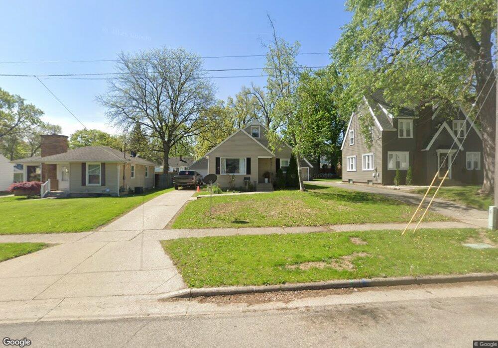
54 Colrain St SW Grand Rapids, MI 49548
Garfield Park NeighborhoodEstimated Value: $247,463 - $275,000
2
Beds
1
Bath
904
Sq Ft
$286/Sq Ft
Est. Value
About This Home
This home is located at 54 Colrain St SW, Grand Rapids, MI 49548 and is currently estimated at $258,866, approximately $286 per square foot. 54 Colrain St SW is a home located in Kent County with nearby schools including Godwin Heights Senior High School and Vista Charter Academy.
Ownership History
Date
Name
Owned For
Owner Type
Purchase Details
Closed on
Jul 13, 2011
Sold by
Secretary Of Housing & Urban Development
Bought by
Leal Maria
Current Estimated Value
Purchase Details
Closed on
Feb 17, 2011
Sold by
Citimortgage Inc
Bought by
The Secretary Of Housing & Urban Develop
Purchase Details
Closed on
Aug 11, 2010
Sold by
Allen Steve and Osborn Jennifer
Bought by
Citimortgage Inc
Purchase Details
Closed on
Jun 16, 2000
Purchase Details
Closed on
Dec 9, 1996
Purchase Details
Closed on
Jun 30, 1988
Create a Home Valuation Report for This Property
The Home Valuation Report is an in-depth analysis detailing your home's value as well as a comparison with similar homes in the area
Home Values in the Area
Average Home Value in this Area
Purchase History
| Date | Buyer | Sale Price | Title Company |
|---|---|---|---|
| Leal Maria | $30,000 | None Available | |
| The Secretary Of Housing & Urban Develop | -- | None Available | |
| Citimortgage Inc | $104,810 | None Available | |
| -- | $98,900 | -- | |
| -- | $70,000 | -- | |
| -- | $53,000 | -- |
Source: Public Records
Tax History Compared to Growth
Tax History
| Year | Tax Paid | Tax Assessment Tax Assessment Total Assessment is a certain percentage of the fair market value that is determined by local assessors to be the total taxable value of land and additions on the property. | Land | Improvement |
|---|---|---|---|---|
| 2025 | $1,630 | $109,300 | $0 | $0 |
| 2024 | $1,630 | $114,600 | $0 | $0 |
| 2023 | $1,809 | $100,600 | $0 | $0 |
| 2022 | $1,670 | $82,900 | $0 | $0 |
| 2021 | $1,631 | $76,100 | $0 | $0 |
| 2020 | $1,380 | $65,500 | $0 | $0 |
| 2019 | $1,595 | $56,800 | $0 | $0 |
| 2018 | $1,565 | $52,700 | $0 | $0 |
| 2017 | $1,525 | $44,500 | $0 | $0 |
| 2016 | $1,471 | $38,900 | $0 | $0 |
| 2015 | $1,437 | $38,900 | $0 | $0 |
| 2013 | -- | $37,500 | $0 | $0 |
Source: Public Records
Map
Nearby Homes
- 100 Colrain St SW
- 12 Celia St SW
- 124 Buckingham St SW
- 104 Colrain St SE
- 120 Manchester Rd SW
- 104 Wesley St SE
- 57 32nd St SW
- 3241 Birchwood Ave SW
- 300 Eola St SE
- 135 Frontenac St SE
- 150 Frontenac St SE
- 3429 Opal Ave SW
- 2828 Charlesgate Ave SW
- 3148 Stratford Dr SW
- 2810 Charlesgate Ave SW
- 435 28th St SE
- 2924 Union Ave SE
- 2347 Jefferson Dr SE
- 142 Withey St SW
- 2436 Madison Ave SE
- 58 Colrain St SW
- 46 Colrain St SW
- 62 Colrain St SW
- 38 Colrain St SW
- 49 Celia St SW
- 66 Colrain St SW
- 59 Celia St SW
- 32 Colrain St SW
- 43 Celia St SW
- 63 Celia St SW
- 39 Celia St SW
- 69 Celia St SW
- 33 Celia St SW
- 55 Colrain St SW
- 69 Celia St SE
- 45 Colrain St SW
- 39 Colrain St SW
- 65 Colrain St SW
- 28 Colrain St SW
- 75 Celia St SW