54 Culbert Dr Hastings, MI 49058
Estimated Value: $271,000 - $318,000
2
Beds
1
Bath
822
Sq Ft
$354/Sq Ft
Est. Value
About This Home
This home is located at 54 Culbert Dr, Hastings, MI 49058 and is currently estimated at $290,920, approximately $353 per square foot. 54 Culbert Dr is a home located in Barry County with nearby schools including Hastings High School.
Ownership History
Date
Name
Owned For
Owner Type
Purchase Details
Closed on
Oct 1, 2025
Sold by
Brooks Vanessa P and Hall Vanessa P
Bought by
Steven A Steward And Debra S Steward Trust
Current Estimated Value
Purchase Details
Closed on
Sep 11, 2020
Sold by
Hall Parrish T
Bought by
Brooks Vanessa P and Hall Parrish T
Home Financials for this Owner
Home Financials are based on the most recent Mortgage that was taken out on this home.
Original Mortgage
$185,000
Interest Rate
3%
Mortgage Type
New Conventional
Purchase Details
Closed on
Sep 2, 2020
Sold by
Moon James E
Bought by
Hall Parrish T
Home Financials for this Owner
Home Financials are based on the most recent Mortgage that was taken out on this home.
Original Mortgage
$185,000
Interest Rate
3%
Mortgage Type
New Conventional
Purchase Details
Closed on
Nov 14, 2008
Sold by
Moon Linda
Bought by
Moon James E
Purchase Details
Closed on
Jul 12, 2002
Bought by
Moon James
Create a Home Valuation Report for This Property
The Home Valuation Report is an in-depth analysis detailing your home's value as well as a comparison with similar homes in the area
Purchase History
| Date | Buyer | Sale Price | Title Company |
|---|---|---|---|
| Steven A Steward And Debra S Steward Trust | $325,000 | Bell Title | |
| Brooks Vanessa P | -- | None Available | |
| Hall Parrish T | $200,000 | Lighthouse Ttl Agcy Thornapp | |
| Moon James E | -- | None Available | |
| Moon James | $102,000 | -- | |
| Moon James | $102,000 | -- |
Source: Public Records
Mortgage History
| Date | Status | Borrower | Loan Amount |
|---|---|---|---|
| Previous Owner | Hall Parrish T | $185,000 |
Source: Public Records
Tax History
| Year | Tax Paid | Tax Assessment Tax Assessment Total Assessment is a certain percentage of the fair market value that is determined by local assessors to be the total taxable value of land and additions on the property. | Land | Improvement |
|---|---|---|---|---|
| 2025 | $2,786 | $101,600 | $0 | $0 |
| 2024 | $2,786 | $90,600 | $0 | $0 |
| 2023 | $1,789 | $64,200 | $0 | $0 |
| 2022 | $1,789 | $64,200 | $0 | $0 |
| 2020 | $1,789 | $60,400 | $0 | $0 |
| 2019 | $1,789 | $55,600 | $0 | $0 |
| 2018 | $0 | $56,400 | $0 | $0 |
| 2017 | $0 | $55,600 | $0 | $0 |
| 2016 | -- | $46,100 | $0 | $0 |
| 2015 | -- | $46,300 | $0 | $0 |
| 2014 | -- | $46,300 | $0 | $0 |
Source: Public Records
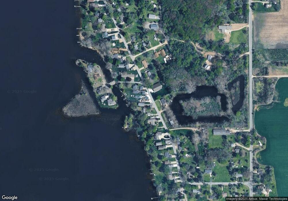
Map
Nearby Homes
- 75 Culbert Dr
- 524 Gaskill Rd
- 762 Dollies Ln
- 152 Coats Grove Rd
- 800 Bachman Rd
- 700 E Woodlawn Ave
- 660 Indian Hills Dr
- 614 E Charles St
- V/L S M 43 Hwy
- 227 W Benson St
- 1520 Liberty Ln
- 303 E Colfax St
- 500 E State Rd
- 517 E State Rd
- 812 N Church St
- 907 N Glenwood Dr
- 6005 N Messer Rd
- 602 N Church St
- 1175 Hammond Rd
- 520 E Thorn St
Your Personal Tour Guide
Ask me questions while you tour the home.