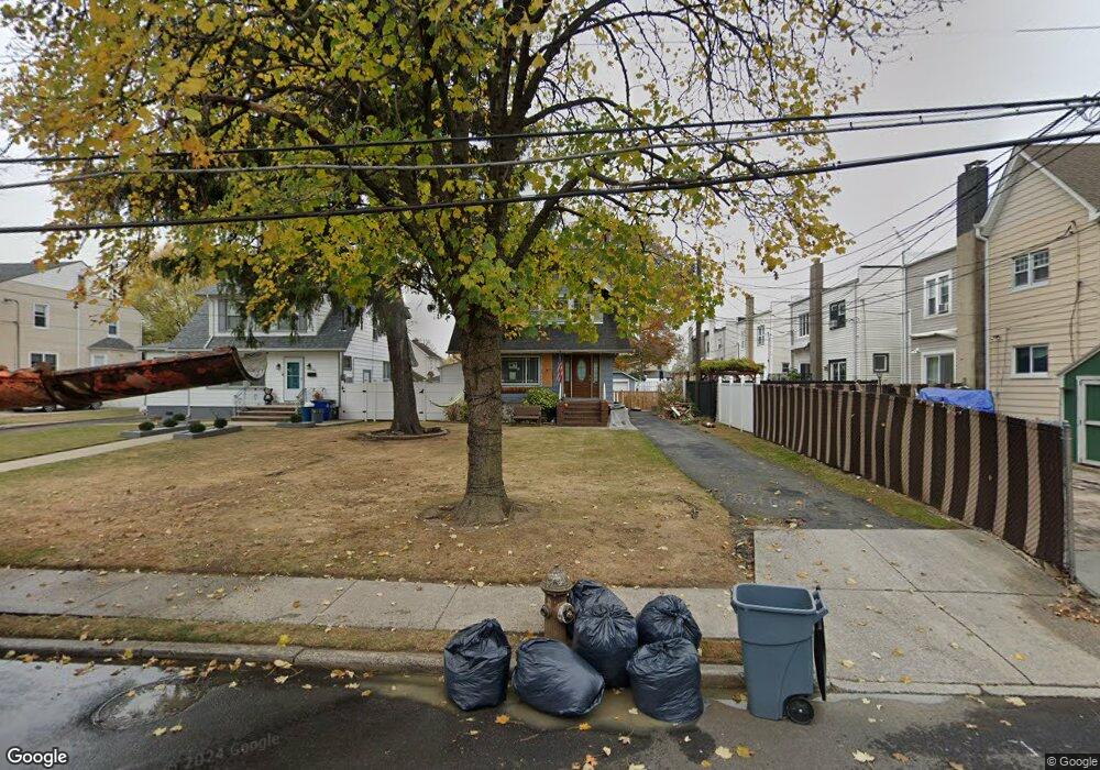
54 Davis Ave Staten Island, NY 10310
Randall Manor NeighborhoodEstimated Value: $701,000 - $749,000
3
Beds
2
Baths
1,536
Sq Ft
$468/Sq Ft
Est. Value
About This Home
This home is located at 54 Davis Ave, Staten Island, NY 10310 and is currently estimated at $718,828, approximately $467 per square foot. 54 Davis Ave is a home located in Richmond County with nearby schools including P.S. 18 John G. Whittier, Is 61 William A Morris, and Curtis High School.
Ownership History
Date
Name
Owned For
Owner Type
Purchase Details
Closed on
Sep 29, 2009
Sold by
Morel Victor J and The Magdaline Morel Living Tru
Bought by
Yubini Aldo C and Yubini Irene
Current Estimated Value
Home Financials for this Owner
Home Financials are based on the most recent Mortgage that was taken out on this home.
Original Mortgage
$423,922
Outstanding Balance
$276,956
Interest Rate
5.09%
Mortgage Type
VA
Estimated Equity
$441,872
Purchase Details
Closed on
Apr 19, 2006
Sold by
Morel Magdaline
Bought by
Magdaline Morel Living Trust
Create a Home Valuation Report for This Property
The Home Valuation Report is an in-depth analysis detailing your home's value as well as a comparison with similar homes in the area
Home Values in the Area
Average Home Value in this Area
Purchase History
| Date | Buyer | Sale Price | Title Company |
|---|---|---|---|
| Yubini Aldo C | $415,000 | The Judicial Title Insurance | |
| Magdaline Morel Living Trust | -- | None Available |
Source: Public Records
Mortgage History
| Date | Status | Borrower | Loan Amount |
|---|---|---|---|
| Open | Yubini Aldo C | $423,922 |
Source: Public Records
Tax History Compared to Growth
Tax History
| Year | Tax Paid | Tax Assessment Tax Assessment Total Assessment is a certain percentage of the fair market value that is determined by local assessors to be the total taxable value of land and additions on the property. | Land | Improvement |
|---|---|---|---|---|
| 2025 | $3,925 | $42,240 | $13,395 | $28,845 |
| 2024 | $3,937 | $40,500 | $13,864 | $26,636 |
| 2023 | $3,585 | $31,531 | $11,995 | $19,536 |
| 2022 | $3,160 | $35,940 | $16,800 | $19,140 |
| 2021 | $4,998 | $33,300 | $16,800 | $16,500 |
| 2020 | $5,035 | $34,260 | $16,800 | $17,460 |
| 2019 | $4,931 | $29,760 | $16,800 | $12,960 |
| 2018 | $4,472 | $26,276 | $13,829 | $12,447 |
| 2017 | $4,437 | $24,790 | $16,448 | $8,342 |
| 2016 | $4,366 | $23,389 | $14,393 | $8,996 |
| 2015 | $4,149 | $23,389 | $13,831 | $9,558 |
| 2014 | $4,149 | $23,210 | $13,190 | $10,020 |
Source: Public Records
Map
Nearby Homes
- 21 Elizabeth Ave
- 16 Howard Ct
- 144 Bard Ave Unit 25b
- 154 Bard Ave Unit 14A
- 160 Bard Ave Unit 6A
- 110 Kissel Ave
- 154 Pelton Ave
- 188 Davis Ave
- 70 Elm St
- 84 Elm St
- 163 Bement Ave
- 11 Curtis Ct
- 699 Henderson Ave
- 4 Brentwood Ave
- 698 Henderson Ave
- 718 Henderson Ave
- 207 N Burgher Ave
- 44 Westbury Ave
- 943 Castleton Ave
- 46 Winegar Ln
- 60 Davis Ave
- 98 Delafield Place
- 100 Delafield Place
- 102 Delafield Ave
- 102 Delafield Place
- 96 Delafield Place
- 94 Delafield Place
- 104 Delafield Place
- 64 Davis Ave
- 106 Delafield Place
- 92 Delafield Place
- 108 Delafield Place
- 68 Davis Ave
- 27 Pelton Ave
- 31 Pelton Ave
- 99 Delafield Place
- 101 Delafield Place
- 97 Delafield Place
- 103 Delafield Place
- 37 Pelton Ave