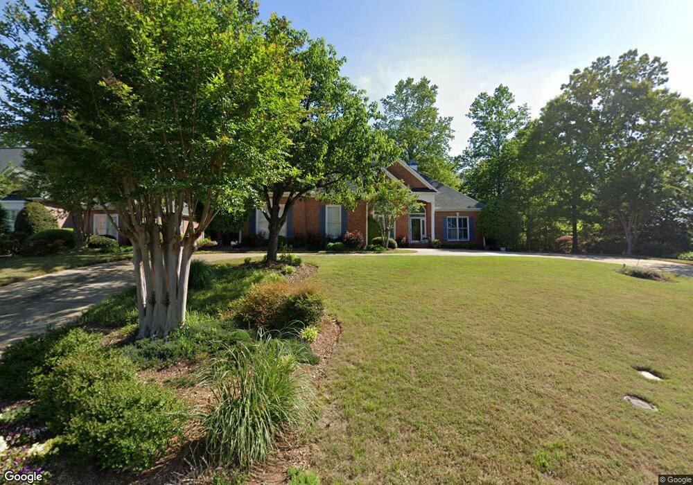
54 Devonhall Way Taylors, SC 29687
Estimated Value: $516,697 - $661,000
4
Beds
4
Baths
2,066
Sq Ft
$277/Sq Ft
Est. Value
About This Home
This home is located at 54 Devonhall Way, Taylors, SC 29687 and is currently estimated at $572,566, approximately $277 per square foot. 54 Devonhall Way is a home located in Greenville County with nearby schools including Paris Elementary School, Sevier Middle, and Wade Hampton High.
Ownership History
Date
Name
Owned For
Owner Type
Purchase Details
Closed on
Jul 11, 2025
Sold by
Rardin Richard L and Rardin Janice R
Bought by
Janice R Rardin Revocable Trust and Rardin
Current Estimated Value
Purchase Details
Closed on
Jun 7, 2018
Sold by
Reid Sandra S
Bought by
Rardin Richard L and Rardin Janice R
Purchase Details
Closed on
Oct 3, 2014
Sold by
Donovan Lynnette
Bought by
Rardin Richard L and Rardin Janice R
Purchase Details
Closed on
May 20, 1999
Sold by
Robertson Michelle H
Bought by
Donovan Lynnette
Create a Home Valuation Report for This Property
The Home Valuation Report is an in-depth analysis detailing your home's value as well as a comparison with similar homes in the area
Home Values in the Area
Average Home Value in this Area
Purchase History
| Date | Buyer | Sale Price | Title Company |
|---|---|---|---|
| Janice R Rardin Revocable Trust | -- | None Listed On Document | |
| Janice R Rardin Revocable Trust | -- | None Listed On Document | |
| Rardin Richard L | $6,968 | None Available | |
| Rardin Richard L | $300,000 | -- | |
| Donovan Lynnette | $270,000 | -- |
Source: Public Records
Tax History Compared to Growth
Tax History
| Year | Tax Paid | Tax Assessment Tax Assessment Total Assessment is a certain percentage of the fair market value that is determined by local assessors to be the total taxable value of land and additions on the property. | Land | Improvement |
|---|---|---|---|---|
| 2024 | $2,023 | $11,900 | $2,180 | $9,720 |
| 2023 | $1,893 | $11,900 | $2,180 | $9,720 |
| 2022 | $1,847 | $11,900 | $2,180 | $9,720 |
| 2021 | $1,814 | $11,900 | $2,180 | $9,720 |
| 2020 | $1,619 | $10,340 | $1,890 | $8,450 |
| 2019 | $1,603 | $10,340 | $1,890 | $8,450 |
| 2018 | $1,640 | $10,110 | $1,660 | $8,450 |
| 2017 | $1,623 | $10,110 | $1,660 | $8,450 |
| 2016 | $1,922 | $252,960 | $41,600 | $211,360 |
| 2015 | $1,902 | $252,960 | $41,600 | $211,360 |
| 2014 | $1,515 | $251,900 | $42,000 | $209,900 |
Source: Public Records
Map
Nearby Homes
- 305 Beckworth Dr
- 8 Overlook Ct
- 301 Cardinal Dr
- 1810 Reid School Rd
- 6 Apple Jack Ln
- 10 Kindlin Way
- 29 Kindlin Way
- 2 Cauley Dr Unit 30
- 1863 Reid School Rd
- 1861 Reid School Rd
- 1859 Reid School Rd
- 3 Fox Ridge Point
- 430 Tanyard Rd
- 585 Mountain Creek Rd
- 4417 State Park Rd
- 102 Millbrook Cir
- 302 Ledgewood Way
- 8 Tall Tree Ln
- 28 Bernwood Dr
- 805 Stallings Rd Unit 110
- 58 Devonhall Way
- 50 Devonhall Way
- 46 Devonhall Way
- 51 Devonhall Way
- 49 Devonhall Way
- 62 Devonhall Way
- 55 Devonhall Way
- 45 Devonhall Way
- 42 Devonhall Way
- 59 Devonhall Way
- 41 Devonhall Way
- 66 Devonhall Way
- 63 Devonhall Way
- 38 Devonhall Way
- 37 Devonhall Way
- 34 Devonhall Way
- 33 Devonhall Way
- 32 Devonhall Way
- 71 Devonhall Way
- 70 Devonhall Way