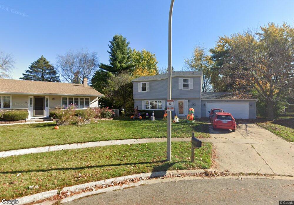
54 Devonshire Cir Elgin, IL 60123
Century Oaks West NeighborhoodEstimated Value: $347,844 - $377,000
4
Beds
--
Bath
1,750
Sq Ft
$209/Sq Ft
Est. Value
About This Home
This home is located at 54 Devonshire Cir, Elgin, IL 60123 and is currently estimated at $365,961, approximately $209 per square foot. 54 Devonshire Cir is a home located in Kane County with nearby schools including Century Oaks Elementary School, Kimball Middle School, and Larkin High School.
Ownership History
Date
Name
Owned For
Owner Type
Purchase Details
Closed on
May 2, 1997
Sold by
Reinert Paul C and Reinert Sharon B
Bought by
Gaige Edward R and Gaige Cindy K
Current Estimated Value
Home Financials for this Owner
Home Financials are based on the most recent Mortgage that was taken out on this home.
Original Mortgage
$141,000
Outstanding Balance
$19,395
Interest Rate
8.05%
Mortgage Type
FHA
Estimated Equity
$346,566
Create a Home Valuation Report for This Property
The Home Valuation Report is an in-depth analysis detailing your home's value as well as a comparison with similar homes in the area
Home Values in the Area
Average Home Value in this Area
Purchase History
| Date | Buyer | Sale Price | Title Company |
|---|---|---|---|
| Gaige Edward R | $143,500 | Chicago Title Insurance Co |
Source: Public Records
Mortgage History
| Date | Status | Borrower | Loan Amount |
|---|---|---|---|
| Open | Gaige Edward R | $141,000 |
Source: Public Records
Tax History
| Year | Tax Paid | Tax Assessment Tax Assessment Total Assessment is a certain percentage of the fair market value that is determined by local assessors to be the total taxable value of land and additions on the property. | Land | Improvement |
|---|---|---|---|---|
| 2024 | $8,448 | $100,012 | $24,968 | $75,044 |
| 2023 | $8,117 | $89,987 | $22,465 | $67,522 |
| 2022 | $6,750 | $73,437 | $22,465 | $50,972 |
| 2021 | $6,535 | $69,339 | $21,211 | $48,128 |
| 2020 | $6,493 | $67,780 | $20,734 | $47,046 |
| 2019 | $6,330 | $64,344 | $19,683 | $44,661 |
| 2018 | $6,566 | $63,070 | $19,293 | $43,777 |
| 2017 | $6,391 | $58,999 | $18,048 | $40,951 |
| 2016 | $5,959 | $52,397 | $19,528 | $32,869 |
| 2015 | -- | $49,097 | $18,298 | $30,799 |
| 2014 | -- | $47,741 | $17,793 | $29,948 |
| 2013 | -- | $49,203 | $18,338 | $30,865 |
Source: Public Records
Map
Nearby Homes
- 1348 Sheffield Dr
- 1345 S Madlock Ct
- 1212 Century Oaks Dr
- 906 Carol Ave
- 938 Hillcrest Rd
- 801 N Mclean Blvd Unit 324
- 801 N Mclean Blvd Unit 320
- 801 N Mclean Blvd Unit 222
- 764 Scott Dr
- 1167 Florimond Dr
- 10 Chateau Dr
- 1104 Florimond Dr
- 1419 Harlan Ave
- 936 Glen Oak Dr
- 2183 Colorado Ave Unit 4
- 36 River Ridge Dr
- 527 N Lyle Ave
- 682 Alice Place
- 660 Robin Ridge
- 1367 Wauchope Dr
- 56 Devonshire Cir
- 52 Devonshire Cir
- 1416 Sheffield Dr
- 1412 Sheffield Dr
- 1404 Sheffield Dr
- 1428 Sheffield Dr
- 58 Devonshire Cir
- 50 Devonshire Cir
- 1396 Sheffield Dr
- 48 Devonshire Cir
- 60 Devonshire Cir
- 1432 Sheffield Dr
- 44 Devonshire Cir
- 1390 Sheffield Dr
- 1415 Sheffield Dr
- 62 Devonshire Cir
- 1409 Sheffield Dr Unit 1
- 1423 Sheffield Dr
- 53 Devonshire Cir
- 55 Devonshire Cir
Your Personal Tour Guide
Ask me questions while you tour the home.