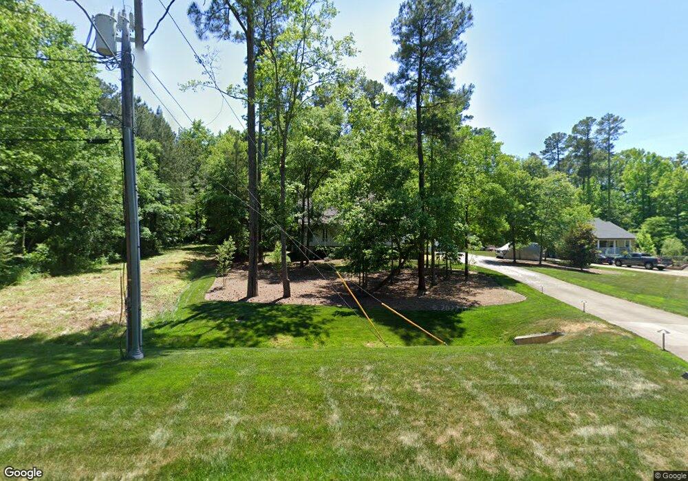
54 Dudley Cir Durham, NC 27703
South Durham NeighborhoodEstimated Value: $463,000 - $527,000
3
Beds
3
Baths
2,000
Sq Ft
$248/Sq Ft
Est. Value
About This Home
This home is located at 54 Dudley Cir, Durham, NC 27703 and is currently estimated at $495,386, approximately $247 per square foot. 54 Dudley Cir is a home located in Durham County with nearby schools including Bethesda Elementary School, John W Neal Middle School, and Southern School of Energy & Sustainability.
Ownership History
Date
Name
Owned For
Owner Type
Purchase Details
Closed on
Apr 20, 2012
Sold by
Jarrett Paul B
Bought by
Jarrett Paul B and Jarrett Mena B
Current Estimated Value
Purchase Details
Closed on
Jul 13, 1999
Sold by
Jarrett Kattee B
Bought by
Jarrett Paul B
Purchase Details
Closed on
Jun 25, 1998
Sold by
Michael Sherer Robert and Ann Carolyn
Bought by
Jarrett Paul B and Jarrett Kaytee B
Home Financials for this Owner
Home Financials are based on the most recent Mortgage that was taken out on this home.
Original Mortgage
$143,200
Outstanding Balance
$28,773
Interest Rate
7.1%
Estimated Equity
$466,613
Create a Home Valuation Report for This Property
The Home Valuation Report is an in-depth analysis detailing your home's value as well as a comparison with similar homes in the area
Home Values in the Area
Average Home Value in this Area
Purchase History
| Date | Buyer | Sale Price | Title Company |
|---|---|---|---|
| Jarrett Paul B | -- | None Available | |
| Jarrett Paul B | -- | -- | |
| Jarrett Paul B | $180,000 | -- |
Source: Public Records
Mortgage History
| Date | Status | Borrower | Loan Amount |
|---|---|---|---|
| Open | Jarrett Paul B | $143,200 |
Source: Public Records
Tax History
| Year | Tax Paid | Tax Assessment Tax Assessment Total Assessment is a certain percentage of the fair market value that is determined by local assessors to be the total taxable value of land and additions on the property. | Land | Improvement |
|---|---|---|---|---|
| 2025 | $5,267 | $531,279 | $126,750 | $404,529 |
| 2024 | $3,723 | $266,898 | $33,800 | $233,098 |
| 2023 | $3,496 | $266,898 | $33,800 | $233,098 |
| 2022 | $3,416 | $266,898 | $33,800 | $233,098 |
| 2021 | $3,400 | $266,898 | $33,800 | $233,098 |
| 2020 | $3,320 | $266,898 | $33,800 | $233,098 |
| 2019 | $3,320 | $266,898 | $33,800 | $233,098 |
| 2018 | $3,194 | $235,492 | $38,025 | $197,467 |
| 2017 | $3,171 | $235,492 | $38,025 | $197,467 |
| 2016 | $3,064 | $235,492 | $38,025 | $197,467 |
| 2015 | $3,625 | $261,848 | $34,837 | $227,011 |
| 2014 | $3,625 | $261,848 | $34,837 | $227,011 |
Source: Public Records
Map
Nearby Homes
- 4514 Cottendale Dr
- 2216 Jollay St
- 909 Wood Chapel Ln
- 111 Lang St
- 1222 Flyfish Ave
- 1016 Hollis Cir
- 3309 Forest Grove Ct
- 1946 Hinesley Dr
- 1931 Hinesley Dr
- 1937 Hinesley Dr
- 1939 Hinesley Dr
- 2701 Skybrook Ln
- 3712 Appling Way
- 3503 Long Ridge Rd
- 5024 Dragonfly Dr
- 1200 Bluewater Way
- 1948 Hinesley Dr
- 1950 Hinesley Dr
- 1944 Hinesley Dr
- 1942 Hinesley Dr
- 52 Dudley Cir
- 4509 Holloman Rd
- 4503 Holloman Rd
- 60 Dudley Cir
- 50 Dudley Cir
- 4511 Holloman Rd
- 59 Dudley Cir
- 64 Dudley Cir
- 48 Dudley Cir
- 63 Dudley Cir
- 4437 Holloman Rd
- 39 Dudley Cir
- 68 Dudley Cir
- 35 Dudley Cir
- 67 Dudley Cir
- 46 Dudley Cir
- 29 Dudley Cir
- 4523 Holloman Rd
- 4504 Holloman Rd
- 4508 Holloman Rd
Your Personal Tour Guide
Ask me questions while you tour the home.