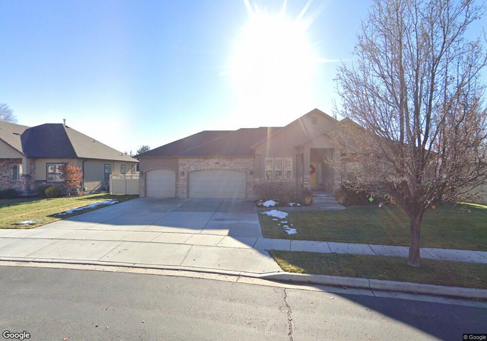
54 E 1400 N American Fork, UT 84003
Estimated Value: $619,000 - $807,000
3
Beds
3
Baths
2,229
Sq Ft
$328/Sq Ft
Est. Value
About This Home
This home is located at 54 E 1400 N, American Fork, UT 84003 and is currently estimated at $731,563, approximately $328 per square foot. 54 E 1400 N is a home located in Utah County with nearby schools including Legacy Elementary School, American Fork Junior High School, and American Fork High School.
Ownership History
Date
Name
Owned For
Owner Type
Purchase Details
Closed on
Feb 5, 2024
Sold by
Shields Thomas Edward
Bought by
Shields Terri Anne
Current Estimated Value
Purchase Details
Closed on
Feb 14, 2011
Sold by
Clingo Lynn E
Bought by
Shields Thomas E
Home Financials for this Owner
Home Financials are based on the most recent Mortgage that was taken out on this home.
Original Mortgage
$199,100
Interest Rate
4.84%
Mortgage Type
Construction
Purchase Details
Closed on
Aug 23, 2007
Sold by
Hunter Cory
Bought by
Leading Edge Financial Solutions Lc
Create a Home Valuation Report for This Property
The Home Valuation Report is an in-depth analysis detailing your home's value as well as a comparison with similar homes in the area
Home Values in the Area
Average Home Value in this Area
Purchase History
| Date | Buyer | Sale Price | Title Company |
|---|---|---|---|
| Shields Terri Anne | -- | None Listed On Document | |
| Shields Thomas E | -- | Affiliated First Title Comp | |
| Leading Edge Financial Solutions Lc | -- | Meridian Title Company |
Source: Public Records
Mortgage History
| Date | Status | Borrower | Loan Amount |
|---|---|---|---|
| Previous Owner | Shields Thomas E | $199,100 |
Source: Public Records
Tax History
| Year | Tax Paid | Tax Assessment Tax Assessment Total Assessment is a certain percentage of the fair market value that is determined by local assessors to be the total taxable value of land and additions on the property. | Land | Improvement |
|---|---|---|---|---|
| 2025 | $3,199 | $393,140 | -- | -- |
| 2024 | $3,199 | $355,410 | $0 | $0 |
| 2023 | $3,016 | $355,245 | $0 | $0 |
| 2022 | $3,482 | $404,800 | $0 | $0 |
| 2021 | $2,784 | $505,500 | $174,900 | $330,600 |
| 2020 | $2,674 | $470,900 | $161,900 | $309,000 |
| 2019 | $2,378 | $433,100 | $150,800 | $282,300 |
| 2018 | $2,205 | $384,000 | $136,100 | $247,900 |
| 2017 | $2,194 | $206,195 | $0 | $0 |
| 2016 | $2,296 | $200,475 | $0 | $0 |
| 2015 | $2,384 | $197,560 | $0 | $0 |
| 2014 | $2,295 | $187,660 | $0 | $0 |
Source: Public Records
Map
Nearby Homes
- 35 W 1350 N
- 9643 N 5650 W
- 5995 W 9600 N
- 1065 N 100 E
- 9796 N 5800 W
- 894 N 60 E
- 5537 W Kensington Cir
- 4650 W Magnolia Drive Dr Unit 8
- 10238 N 6530 W Unit 15
- 5277 N 11200 W Unit 4
- 5284 N 11200 W Unit 3
- 6079 W Whisper Ln Unit 404
- 1220 E 700 N
- 6111 W Whisper Ln Unit 402
- 603 S 370 E
- 234 W 1080 N
- 822 N 150 E Unit 5
- 1016 N 250 W
- 1023 N 250 W
- 780 N 100 E
Your Personal Tour Guide
Ask me questions while you tour the home.