54 E Shore Rd Westport, MA 02790
Westport Point NeighborhoodEstimated Value: $1,572,033 - $1,700,000
3
Beds
--
Bath
2,916
Sq Ft
$556/Sq Ft
Est. Value
About This Home
This home is located at 54 E Shore Rd, Westport, MA 02790 and is currently estimated at $1,622,678, approximately $556 per square foot. 54 E Shore Rd is a home with nearby schools including Alice A. Macomber Primary School, Westport Elementary School, and Westport Middle-High School.
Ownership History
Date
Name
Owned For
Owner Type
Purchase Details
Closed on
Dec 11, 2018
Sold by
Lawson Chester V
Bought by
Lawson Christopher J
Current Estimated Value
Purchase Details
Closed on
Feb 9, 2005
Sold by
Lawson Christopher J and Lawson Jeffrey C
Bought by
Lawson Chester V and Lawson Linda Ann
Create a Home Valuation Report for This Property
The Home Valuation Report is an in-depth analysis detailing your home's value as well as a comparison with similar homes in the area
Home Values in the Area
Average Home Value in this Area
Purchase History
| Date | Buyer | Sale Price | Title Company |
|---|---|---|---|
| Lawson Christopher J | -- | -- | |
| Lawson Chester V | -- | -- | |
| Lawson Chester V | -- | -- |
Source: Public Records
Tax History Compared to Growth
Tax History
| Year | Tax Paid | Tax Assessment Tax Assessment Total Assessment is a certain percentage of the fair market value that is determined by local assessors to be the total taxable value of land and additions on the property. | Land | Improvement |
|---|---|---|---|---|
| 2025 | $9,050 | $1,214,700 | $789,700 | $425,000 |
| 2024 | $8,144 | $1,053,500 | $693,800 | $359,700 |
| 2023 | $8,029 | $983,900 | $660,800 | $323,100 |
| 2022 | $8,025 | $946,300 | $660,800 | $285,500 |
| 2021 | $3,968 | $804,300 | $518,800 | $285,500 |
| 2020 | $6,537 | $775,400 | $498,000 | $277,400 |
| 2019 | $6,937 | $838,800 | $566,200 | $272,600 |
| 2018 | $3,780 | $654,700 | $467,500 | $187,200 |
| 2017 | $5,153 | $646,600 | $467,500 | $179,100 |
| 2016 | $5,149 | $650,900 | $467,500 | $183,400 |
| 2015 | $4,932 | $621,900 | $467,500 | $154,400 |
Source: Public Records
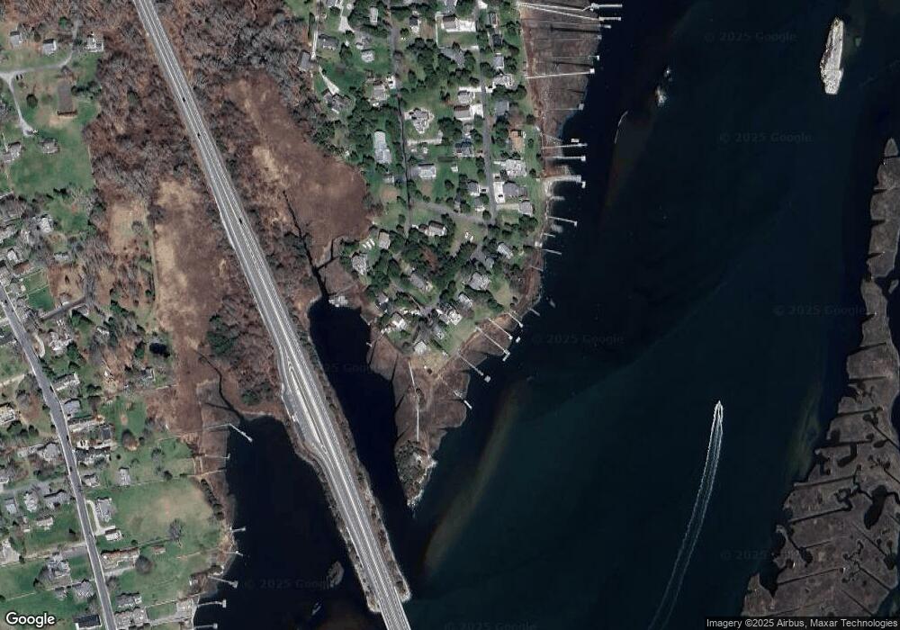
Map
Nearby Homes
- 1881 Main Rd
- 0 Reed Rd (Ss)
- 1702 Drift Rd
- 1702J Drift Rd
- 1749 Main Rd
- 1580 Main Rd
- 99 Sylvia Ln
- 238-242 E Beach Rd
- 19 Seabury Ln
- 1346 Main Rd Unit B
- 189 Brayton Point Rd
- Lot 2 Horseneck Rd
- 304 Brayton Point Rd
- 255 John Dyer Rd
- 225 Hixbridge Rd
- 920 Drift Rd
- 245 John Dyer Rd
- 17 Quail Trail
- Lot 2E Horseneck Rd
- 101 Adamsville Rd
- 58 E Shore Rd
- 48 E Shore Rd
- 62 E Shore Rd
- 59 E Shore Rd
- 6 Drift Rd
- 40 E Shore Rd
- 9 Cedar Ln Unit RED
- 9 Red Cedar Rd
- 2 Cedar Ln Unit RED
- 4 Cedar Ln Unit RED
- 0 E Shore Rd Unit 71256574
- 0 E Shore Rd Unit 71619746
- 10 E East Shore Rd Unit 10
- 1 Osprey Ln
- 1 Osborn St Unit 1
- 36 E Shore Rd
- 15 Cedar Ln Unit RED
- 15 Red Cedar Rd
- 32 E Shore Rd
- 22 Cedar Ln Unit RED