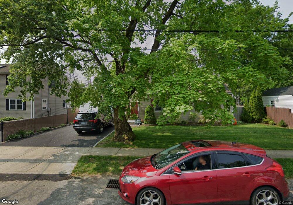
54 Emerald St Bridgeport, CT 06610
North Bridgeport NeighborhoodEstimated Value: $380,000 - $414,000
3
Beds
2
Baths
1,407
Sq Ft
$286/Sq Ft
Est. Value
About This Home
This home is located at 54 Emerald St, Bridgeport, CT 06610 and is currently estimated at $403,015, approximately $286 per square foot. 54 Emerald St is a home located in Fairfield County with nearby schools including Hooker School and Harding High School.
Ownership History
Date
Name
Owned For
Owner Type
Purchase Details
Closed on
Jun 14, 2006
Sold by
Carley Paul and Carley Elizabeth
Bought by
Chalon Javier and Zaveleta Florecienda
Current Estimated Value
Home Financials for this Owner
Home Financials are based on the most recent Mortgage that was taken out on this home.
Original Mortgage
$258,400
Outstanding Balance
$148,231
Interest Rate
6.62%
Mortgage Type
Purchase Money Mortgage
Estimated Equity
$254,784
Purchase Details
Closed on
Oct 24, 2002
Sold by
Laporta Thomas
Bought by
Carley Paul D and Carley Elizabeth A
Purchase Details
Closed on
Apr 27, 2001
Sold by
Bisciglia Michael C
Bought by
Laporta Thomas J
Purchase Details
Closed on
May 21, 1996
Sold by
Peoples Bank
Bought by
Laporta Thomas and Bisciglia Michael E
Purchase Details
Closed on
Jun 17, 1987
Sold by
Donfrancesco Angelo
Bought by
Casanovas Luis
Create a Home Valuation Report for This Property
The Home Valuation Report is an in-depth analysis detailing your home's value as well as a comparison with similar homes in the area
Home Values in the Area
Average Home Value in this Area
Purchase History
| Date | Buyer | Sale Price | Title Company |
|---|---|---|---|
| Chalon Javier | $323,000 | -- | |
| Chalon Javier | $323,000 | -- | |
| Carley Paul D | $209,000 | -- | |
| Carley Paul D | $209,000 | -- | |
| Laporta Thomas J | $50,000 | -- | |
| Laporta Thomas J | $50,000 | -- | |
| Laporta Thomas | $77,000 | -- | |
| Laporta Thomas | $77,000 | -- | |
| Casanovas Luis | $165,000 | -- |
Source: Public Records
Mortgage History
| Date | Status | Borrower | Loan Amount |
|---|---|---|---|
| Open | Casanovas Luis | $258,400 | |
| Closed | Casanovas Luis | $64,600 |
Source: Public Records
Tax History
| Year | Tax Paid | Tax Assessment Tax Assessment Total Assessment is a certain percentage of the fair market value that is determined by local assessors to be the total taxable value of land and additions on the property. | Land | Improvement |
|---|---|---|---|---|
| 2025 | $6,970 | $160,420 | $65,700 | $94,720 |
| 2024 | $6,970 | $160,420 | $65,700 | $94,720 |
| 2023 | $6,970 | $160,420 | $65,700 | $94,720 |
| 2022 | $6,970 | $160,420 | $65,700 | $94,720 |
| 2021 | $6,970 | $160,420 | $65,700 | $94,720 |
| 2020 | $6,964 | $128,980 | $53,890 | $75,090 |
| 2019 | $6,964 | $128,980 | $53,890 | $75,090 |
| 2018 | $7,013 | $128,980 | $53,890 | $75,090 |
| 2017 | $7,013 | $128,980 | $53,890 | $75,090 |
| 2016 | $7,013 | $128,980 | $53,890 | $75,090 |
| 2015 | $6,460 | $153,080 | $52,650 | $100,430 |
| 2014 | $6,460 | $153,080 | $52,650 | $100,430 |
Source: Public Records
Map
Nearby Homes
- 3699 Broadbridge Ave Unit 101
- 375 Silver St
- 123 Beverly Dr
- 11 Knollcrest Dr
- 95 Masna Place
- 119 Jennings Ave
- 120 Huntington Turnpike Unit 202
- 181 Islandview Rd
- 211 Louisiana Ave Unit D
- 132 Virginia Ave Unit 132
- 11 Nob Hill Cir
- 2322 Nichols Ave
- 186 Louisiana Ave Unit D
- 154 Virginia Ave Unit B
- 285 Hillcrest Rd
- 250 Dayton Rd
- 32 Marshall Ave
- 33 Louisiana Ave Unit 35
- 207 Hillcrest Rd
- 2803 Broadbridge Ave
Your Personal Tour Guide
Ask me questions while you tour the home.