Estimated Value: $791,000 - $932,000
4
Beds
2
Baths
1,460
Sq Ft
$590/Sq Ft
Est. Value
About This Home
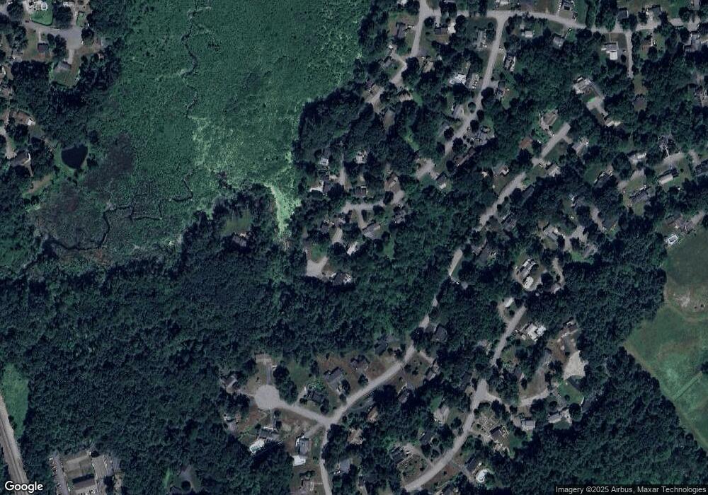
This home is located at 54 Flint Rd, Acton, MA 01720 and is currently estimated at $861,566, approximately $590 per square foot. 54 Flint Rd is a home located in Middlesex County with nearby schools including Acton-Boxborough Regional High School and The Imago School.
Ownership History
Date
Name
Owned For
Owner Type
Purchase Details
Closed on
Dec 22, 2011
Sold by
Heald Andrew M
Bought by
Andrew M Heald 2011 T and Heald Andrew M
Current Estimated Value
Purchase Details
Closed on
Sep 1, 2011
Sold by
Cline Brett L and Cline Andrea
Bought by
Heald Andrew M
Home Financials for this Owner
Home Financials are based on the most recent Mortgage that was taken out on this home.
Original Mortgage
$300,000
Interest Rate
4.52%
Mortgage Type
Purchase Money Mortgage
Purchase Details
Closed on
Apr 2, 1999
Sold by
Lin Hung-Ming
Bought by
Cline Brett L and Cline Andrea
Home Financials for this Owner
Home Financials are based on the most recent Mortgage that was taken out on this home.
Original Mortgage
$209,925
Interest Rate
6.78%
Mortgage Type
Purchase Money Mortgage
Purchase Details
Closed on
Mar 24, 1997
Sold by
Dempsey Michael K and Dempsey Laura A
Bought by
Lin Hung-Ming
Purchase Details
Closed on
Apr 16, 1991
Sold by
Bergeron Clifford E and Bergeron Marjorie
Bought by
Dempsey Michael K and Dempsey Laura A
Create a Home Valuation Report for This Property
The Home Valuation Report is an in-depth analysis detailing your home's value as well as a comparison with similar homes in the area
Home Values in the Area
Average Home Value in this Area
Purchase History
| Date | Buyer | Sale Price | Title Company |
|---|---|---|---|
| Andrew M Heald 2011 T | -- | -- | |
| Heald Andrew M | $430,000 | -- | |
| Cline Brett L | $279,900 | -- | |
| Lin Hung-Ming | $235,000 | -- | |
| Dempsey Michael K | $186,000 | -- |
Source: Public Records
Mortgage History
| Date | Status | Borrower | Loan Amount |
|---|---|---|---|
| Previous Owner | Heald Andrew M | $300,000 | |
| Previous Owner | Dempsey Michael K | $340,000 | |
| Previous Owner | Dempsey Michael K | $209,925 |
Source: Public Records
Tax History Compared to Growth
Tax History
| Year | Tax Paid | Tax Assessment Tax Assessment Total Assessment is a certain percentage of the fair market value that is determined by local assessors to be the total taxable value of land and additions on the property. | Land | Improvement |
|---|---|---|---|---|
| 2025 | $14,101 | $822,200 | $321,500 | $500,700 |
| 2024 | $13,174 | $790,300 | $321,500 | $468,800 |
| 2023 | $9,997 | $569,300 | $292,400 | $276,900 |
| 2022 | $9,472 | $487,000 | $254,200 | $232,800 |
| 2021 | $9,221 | $455,800 | $235,400 | $220,400 |
| 2020 | $8,710 | $452,700 | $235,400 | $217,300 |
| 2019 | $8,364 | $431,800 | $235,400 | $196,400 |
| 2018 | $8,248 | $425,600 | $235,400 | $190,200 |
| 2017 | $8,053 | $422,500 | $235,400 | $187,100 |
| 2016 | $7,946 | $413,200 | $235,400 | $177,800 |
| 2015 | $7,692 | $403,800 | $235,400 | $168,400 |
| 2014 | $7,533 | $387,300 | $235,400 | $151,900 |
Source: Public Records
Map
Nearby Homes
- 4,7,8 Crestwood Ln
- 116 Windsor Ave
- 246 Main St Unit 2
- 7 Kelley Rd
- 285 Central St Unit 285
- 19 Railroad St Unit D2
- 19 Railroad St Unit C2
- 90 Willow St Unit 1
- 92 Willow St Unit 3
- 92 Willow St Unit 2
- 131 Main St
- 129 Main St Unit 129
- 5 Elm St Unit 1
- 40 High St
- 71 Liberty St
- 70 River St
- 46 Taylor Rd
- 11 Braebrook
- 4 Huron Rd
- 2 Marble Farm Rd
