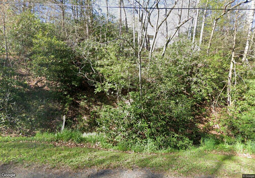
54 Fork Mountain Cemetery Rd Newland, NC 28657
Estimated Value: $252,858 - $313,000
2
Beds
2
Baths
1,352
Sq Ft
$203/Sq Ft
Est. Value
About This Home
This home is located at 54 Fork Mountain Cemetery Rd, Newland, NC 28657 and is currently estimated at $273,965, approximately $202 per square foot. 54 Fork Mountain Cemetery Rd is a home with nearby schools including Newland Elementary School, Avery Middle School, and Avery County High School.
Ownership History
Date
Name
Owned For
Owner Type
Purchase Details
Closed on
Sep 23, 2024
Sold by
Townsend Twila J
Bought by
Townsend Benjamin F
Current Estimated Value
Home Financials for this Owner
Home Financials are based on the most recent Mortgage that was taken out on this home.
Original Mortgage
$68,000
Outstanding Balance
$65,026
Interest Rate
5.62%
Mortgage Type
New Conventional
Estimated Equity
$208,939
Purchase Details
Closed on
Apr 20, 2018
Sold by
Pritchard Philip L and Pritchard Wanda C
Bought by
Townsend Benjamin F and Townsend Twila J
Home Financials for this Owner
Home Financials are based on the most recent Mortgage that was taken out on this home.
Original Mortgage
$90,000
Interest Rate
4.45%
Mortgage Type
New Conventional
Create a Home Valuation Report for This Property
The Home Valuation Report is an in-depth analysis detailing your home's value as well as a comparison with similar homes in the area
Home Values in the Area
Average Home Value in this Area
Purchase History
| Date | Buyer | Sale Price | Title Company |
|---|---|---|---|
| Townsend Benjamin F | -- | None Listed On Document | |
| Townsend Benjamin F | $162,500 | None Available |
Source: Public Records
Mortgage History
| Date | Status | Borrower | Loan Amount |
|---|---|---|---|
| Open | Townsend Benjamin F | $68,000 | |
| Previous Owner | Townsend Benjamin F | $90,000 |
Source: Public Records
Tax History Compared to Growth
Tax History
| Year | Tax Paid | Tax Assessment Tax Assessment Total Assessment is a certain percentage of the fair market value that is determined by local assessors to be the total taxable value of land and additions on the property. | Land | Improvement |
|---|---|---|---|---|
| 2024 | $616 | $153,900 | $20,900 | $133,000 |
| 2023 | $616 | $153,900 | $20,900 | $133,000 |
| 2022 | $616 | $153,900 | $20,900 | $133,000 |
| 2021 | $626 | $113,800 | $14,100 | $99,700 |
| 2020 | $626 | $113,800 | $14,100 | $99,700 |
| 2019 | $626 | $113,800 | $14,100 | $99,700 |
| 2018 | $655 | $113,800 | $14,100 | $99,700 |
| 2017 | $611 | $105,600 | $0 | $0 |
| 2016 | $498 | $105,600 | $0 | $0 |
| 2015 | $500 | $105,600 | $14,100 | $91,500 |
| 2012 | -- | $118,700 | $17,800 | $100,900 |
Source: Public Records
Map
Nearby Homes
- 232 Cole Hollow Rd
- 0 Cow Camp Rd
- 34 Cranberry St
- 417 Cranberry St
- 468 Sokassa Rd
- 390 & 468 Sokassa Rd
- 390 Sokassa Rd
- 72 Rhoneys View Rd
- 221 Old Cranberry St
- 220 Rhoneys View Rd
- 169 Railroad St
- 811 Hemlock Dr
- TBD Farview Ln
- 914 Balsam Dr
- 298 Hoot Owl Ln
- 165 Apache St
- 209 Apache St
- 924 Balsam Dr
- 702 Pineola St
- 832 Hemlock Dr
- 176 Fork Mountain Cemetary Rd
- 1571 Vale Rd
- 1571 Vale Rd
- 168 Fork Mountain Cemetery Rd
- 1412 Vale Rd
- 50 Mountain Shadow Ln
- 181 Heavenly Ln
- 130 Heavenly Ln
- 1796 Old Toe River Rd
- 1808 Old Toe River Rd
- 136 Mountain Shadow Ln
- 252 Heavenly Ln
- 1714 Vale Rd
- 129 Mountain Shadow Ln
- 188 Mountain Shadow Ln
- 1333 Vale Rd
- 1569 Vale Rd
- 1223 Vale Rd
- 1654 Old Toe River Rd
- 1661 Old Toe River Rd
