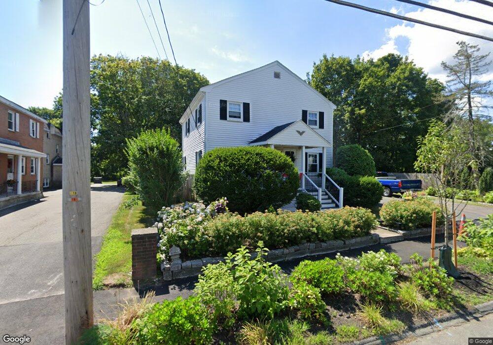
54 Hobart St Danvers, MA 01923
Estimated Value: $616,000 - $697,000
3
Beds
2
Baths
1,350
Sq Ft
$482/Sq Ft
Est. Value
About This Home
This home is located at 54 Hobart St, Danvers, MA 01923 and is currently estimated at $650,416, approximately $481 per square foot. 54 Hobart St is a home located in Essex County with nearby schools including St. Mary of the Annunciation School and St. John's Prep.
Ownership History
Date
Name
Owned For
Owner Type
Purchase Details
Closed on
May 10, 2004
Sold by
Walke Paul R
Bought by
Walke Paul R
Current Estimated Value
Purchase Details
Closed on
Aug 20, 2003
Sold by
Cunningham Geraldine
Bought by
Walke Paul R
Home Financials for this Owner
Home Financials are based on the most recent Mortgage that was taken out on this home.
Original Mortgage
$308,655
Interest Rate
5.52%
Mortgage Type
Purchase Money Mortgage
Create a Home Valuation Report for This Property
The Home Valuation Report is an in-depth analysis detailing your home's value as well as a comparison with similar homes in the area
Home Values in the Area
Average Home Value in this Area
Purchase History
| Date | Buyer | Sale Price | Title Company |
|---|---|---|---|
| Walke Paul R | -- | -- | |
| Walke Paul R | $324,900 | -- |
Source: Public Records
Mortgage History
| Date | Status | Borrower | Loan Amount |
|---|---|---|---|
| Previous Owner | Walke Paul R | $308,655 | |
| Previous Owner | Walke Paul R | $10,000 |
Source: Public Records
Tax History Compared to Growth
Tax History
| Year | Tax Paid | Tax Assessment Tax Assessment Total Assessment is a certain percentage of the fair market value that is determined by local assessors to be the total taxable value of land and additions on the property. | Land | Improvement |
|---|---|---|---|---|
| 2025 | $5,614 | $510,800 | $306,900 | $203,900 |
| 2024 | $5,617 | $505,600 | $306,900 | $198,700 |
| 2023 | $5,354 | $455,700 | $272,100 | $183,600 |
| 2022 | $5,148 | $406,600 | $237,400 | $169,200 |
| 2021 | $4,838 | $362,400 | $215,400 | $147,000 |
| 2020 | $4,516 | $345,800 | $208,400 | $137,400 |
| 2019 | $4,526 | $340,800 | $201,500 | $139,300 |
| 2018 | $4,294 | $317,100 | $195,700 | $121,400 |
| 2017 | $4,233 | $298,300 | $181,800 | $116,500 |
| 2016 | $4,070 | $286,600 | $173,700 | $112,900 |
| 2015 | $3,817 | $256,000 | $150,500 | $105,500 |
Source: Public Records
Map
Nearby Homes
- 14 Williams St Unit C17
- 37 Holten St Unit 2
- 25 Cherry St Unit 3
- 11 Holten St
- 6 Kimberly Dr
- 8 Putnam St Unit 3
- 4 Butler Ave
- 20 Ash St Unit 3
- 20 Ash St Unit 1
- 5 Beacon St
- 35 High St Unit 3D
- 35 Locust St Unit 3
- 38 High St Unit 4
- 14 1/2 Hampshire St
- 63 Adams St
- 5 Hampshire St
- 12 Whipple St
- 37 Constitution Ln Unit 12
- 22 Collins St Unit 31
- 24 Purchase St
- 56 Hobart St
- 52 Hobart St Unit B-3
- 52 Hobart St Unit T1
- 55 Hobart St
- 50 Hobart St Unit 1
- 50 Hobart St Unit 2
- 50 Hobart St
- 48 Hobart St
- 58 Hobart St
- 57 Hobart St
- 14 Williams St Unit C19
- 14 Williams St Unit C18
- 14 Williams St Unit C16
- 14 Williams St Unit C15
- 14 Williams St Unit C14
- 14 Williams St Unit C13
- 14 Williams St Unit C12
- 14 Williams St Unit B11
- 14 Williams St Unit B10
- 14 Williams St Unit B9