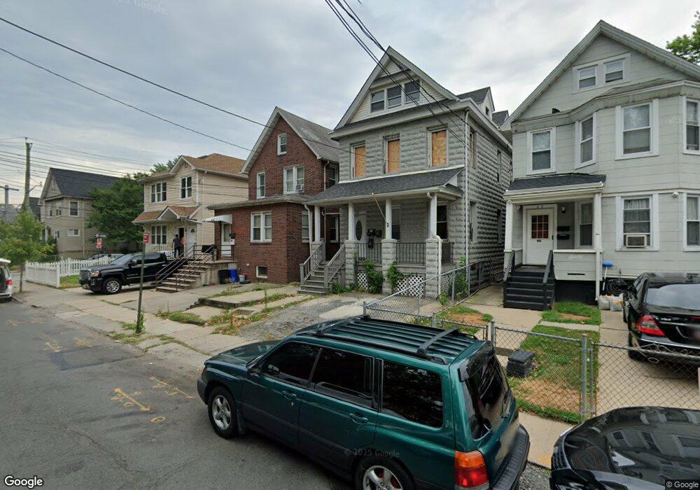
54 Innis St Staten Island, NY 10302
Port Richmond NeighborhoodEstimated Value: $596,000 - $610,826
3
Beds
2
Baths
1,760
Sq Ft
$343/Sq Ft
Est. Value
About This Home
This home is located at 54 Innis St, Staten Island, NY 10302 and is currently estimated at $602,957, approximately $342 per square foot. 54 Innis St is a home located in Richmond County with nearby schools including PS 21 Margaret Emery-Elm Park, I.S. 51 Edwin Markham, and Port Richmond High School.
Ownership History
Date
Name
Owned For
Owner Type
Purchase Details
Closed on
May 13, 2005
Sold by
Chan Herb
Bought by
Pimenta Hernandez Mario Rene Reyes and Pimenta Reyes Teresa C
Current Estimated Value
Home Financials for this Owner
Home Financials are based on the most recent Mortgage that was taken out on this home.
Original Mortgage
$275,000
Outstanding Balance
$142,834
Interest Rate
5.78%
Mortgage Type
New Conventional
Estimated Equity
$460,123
Purchase Details
Closed on
Apr 12, 2004
Sold by
Jin John and Jin Dinah L
Bought by
Chan Herb
Purchase Details
Closed on
Nov 10, 1997
Sold by
Jin John and Jin Dinah L
Bought by
Jin John and Jin Dinah L
Purchase Details
Closed on
Jul 21, 1995
Sold by
Caneda Regina San Jose
Bought by
Jin John and Jin Dinah L
Create a Home Valuation Report for This Property
The Home Valuation Report is an in-depth analysis detailing your home's value as well as a comparison with similar homes in the area
Home Values in the Area
Average Home Value in this Area
Purchase History
| Date | Buyer | Sale Price | Title Company |
|---|---|---|---|
| Pimenta Hernandez Mario Rene Reyes | $345,000 | Ticor Title Insurance Co | |
| Chan Herb | -- | First American Title Insuran | |
| Jin John | -- | First American Title Ins Co | |
| Jin John | $75,000 | -- |
Source: Public Records
Mortgage History
| Date | Status | Borrower | Loan Amount |
|---|---|---|---|
| Open | Pimenta Hernandez Mario Rene Reyes | $275,000 |
Source: Public Records
Tax History Compared to Growth
Tax History
| Year | Tax Paid | Tax Assessment Tax Assessment Total Assessment is a certain percentage of the fair market value that is determined by local assessors to be the total taxable value of land and additions on the property. | Land | Improvement |
|---|---|---|---|---|
| 2025 | $4,408 | $38,520 | $4,167 | $34,353 |
| 2024 | $4,408 | $31,500 | $4,807 | $26,693 |
| 2023 | $4,457 | $21,946 | $5,161 | $16,785 |
| 2022 | $4,005 | $26,160 | $6,900 | $19,260 |
| 2021 | $4,197 | $26,640 | $6,900 | $19,740 |
| 2020 | $4,103 | $27,300 | $6,900 | $20,400 |
| 2019 | $3,826 | $24,120 | $6,900 | $17,220 |
| 2018 | $3,728 | $18,288 | $4,582 | $13,706 |
| 2017 | $3,591 | $17,617 | $5,505 | $12,112 |
| 2016 | $3,322 | $16,620 | $6,900 | $9,720 |
| 2015 | $2,925 | $16,154 | $5,480 | $10,674 |
| 2014 | $2,925 | $15,240 | $5,760 | $9,480 |
Source: Public Records
Map
Nearby Homes
- 162 John St
- 98 Saint Josephs Ave
- 145 Morningside Ave Unit 2C
- 209 Nicholas Ave
- 211 Morningstar Rd
- 145 Clinton Place
- 38 Laforge Ave
- 231 Charles Ave
- 28 Hooker Place
- 11 Laforge Ave
- 28 Morningstar Rd
- 54 Riverside Dr Unit 1AA
- 306 Morningstar Rd
- 469 Port Richmond Ave
- 152 Port Richmond Ave
- 322 Morningstar Rd
- 325 Pulaski Ave
- 327 Pulaski Ave
- 329 Pulaski Ave
- 121 Harrison Ave