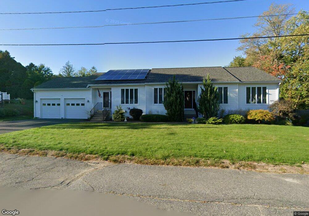
54 Jeffrey Keating Rd Unit 1 Fitchburg, MA 01420
Southside NeighborhoodEstimated Value: $501,000 - $592,461
3
Beds
2
Baths
2,276
Sq Ft
$245/Sq Ft
Est. Value
About This Home
This home is located at 54 Jeffrey Keating Rd Unit 1, Fitchburg, MA 01420 and is currently estimated at $557,615, approximately $244 per square foot. 54 Jeffrey Keating Rd Unit 1 is a home located in Worcester County with nearby schools including South Street Elementary School, Reingold Elementary School, and Crocker Elementary School.
Ownership History
Date
Name
Owned For
Owner Type
Purchase Details
Closed on
Feb 15, 2022
Sold by
Bruce Edgar W and Cormier Lucille R
Bought by
Cormier Bruce Irt and Bruce
Current Estimated Value
Create a Home Valuation Report for This Property
The Home Valuation Report is an in-depth analysis detailing your home's value as well as a comparison with similar homes in the area
Home Values in the Area
Average Home Value in this Area
Purchase History
| Date | Buyer | Sale Price | Title Company |
|---|---|---|---|
| Cormier Bruce Irt | -- | None Available |
Source: Public Records
Tax History Compared to Growth
Tax History
| Year | Tax Paid | Tax Assessment Tax Assessment Total Assessment is a certain percentage of the fair market value that is determined by local assessors to be the total taxable value of land and additions on the property. | Land | Improvement |
|---|---|---|---|---|
| 2025 | $72 | $534,000 | $115,000 | $419,000 |
| 2024 | $7,104 | $479,700 | $83,000 | $396,700 |
| 2023 | $6,988 | $436,200 | $74,100 | $362,100 |
| 2022 | $6,637 | $376,900 | $72,800 | $304,100 |
| 2021 | $6,695 | $351,800 | $70,300 | $281,500 |
| 2020 | $6,548 | $332,200 | $69,000 | $263,200 |
| 2019 | $6,083 | $296,900 | $70,300 | $226,600 |
| 2018 | $5,711 | $271,800 | $65,200 | $206,600 |
| 2017 | $5,555 | $258,500 | $63,900 | $194,600 |
| 2016 | $5,299 | $249,600 | $58,800 | $190,800 |
| 2015 | $5,073 | $245,300 | $56,200 | $189,100 |
| 2014 | $4,938 | $249,000 | $56,200 | $192,800 |
Source: Public Records
Map
Nearby Homes
- 559 Milk St
- 48 Woodworth Ave
- 27 Clifton St
- 32 Clifton St
- 484 Rollstone St
- 0 Franklin Rd-Lots1-7 Unit 72947330
- 535 South St Unit 14-2A
- 535 South St Unit 4-2A
- 21 Burnap St
- 37 Putnam Park
- 505 Old St S
- 116 Pine St
- 7 Burnap St
- 196 Hazel St
- 53-55 Marion St
- 20 Silver St
- 43 Saint Anthony St
- 132 Hazel St
- 179 Pratt St
- 19 Mount Carmel St
- 54 Jeffrey Keating Rd
- 26 Forest Park
- 38 Jeffrey Keating Rd
- 55 Jeffrey Keating Rd
- 2 Forest Park
- 39 Jeffrey Keating Rd
- 40 Forest Park
- 67 Jeffrey Keating Rd
- 215 Electric Ave
- 28 Jeffrey Keating Rd
- 207 Electric Ave
- 29 Jeffrey Keating Rd
- 225 Electric Ave
- 52 Forest Park
- 33 Forest Park
- 229 Electric Ave
- 197 Electric Ave
- 74 Forest Hill Rd
- 233 Electric Ave
- 21 Forest Park