54 Jericho Rd Unit 54 Weston, MA 02493
Estimated Value: $667,008 - $829,000
2
Beds
2
Baths
1,365
Sq Ft
$556/Sq Ft
Est. Value
About This Home
This home is located at 54 Jericho Rd Unit 54, Weston, MA 02493 and is currently estimated at $759,252, approximately $556 per square foot. 54 Jericho Rd Unit 54 is a home located in Middlesex County with nearby schools including Country Elementary School, Woodland Elementary School, and Weston Middle School.
Ownership History
Date
Name
Owned For
Owner Type
Purchase Details
Closed on
Jan 28, 2013
Sold by
Wilber David E and Wilber Nancy J
Bought by
Sanderson Amy L
Current Estimated Value
Home Financials for this Owner
Home Financials are based on the most recent Mortgage that was taken out on this home.
Original Mortgage
$292,400
Outstanding Balance
$203,836
Interest Rate
3.35%
Mortgage Type
New Conventional
Estimated Equity
$555,416
Purchase Details
Closed on
Oct 15, 2004
Sold by
Weston Prtnrs Rt and Kemeny Curtis R
Bought by
Wilber David E and Wilber Nancy J
Create a Home Valuation Report for This Property
The Home Valuation Report is an in-depth analysis detailing your home's value as well as a comparison with similar homes in the area
Home Values in the Area
Average Home Value in this Area
Purchase History
| Date | Buyer | Sale Price | Title Company |
|---|---|---|---|
| Sanderson Amy L | $365,500 | -- | |
| Wilber David E | $482,500 | -- |
Source: Public Records
Mortgage History
| Date | Status | Borrower | Loan Amount |
|---|---|---|---|
| Open | Sanderson Amy L | $292,400 |
Source: Public Records
Tax History Compared to Growth
Tax History
| Year | Tax Paid | Tax Assessment Tax Assessment Total Assessment is a certain percentage of the fair market value that is determined by local assessors to be the total taxable value of land and additions on the property. | Land | Improvement |
|---|---|---|---|---|
| 2025 | $6,045 | $544,600 | $0 | $544,600 |
| 2024 | $6,007 | $540,200 | $0 | $540,200 |
| 2023 | $5,491 | $463,800 | $0 | $463,800 |
| 2022 | $5,882 | $459,200 | $0 | $459,200 |
| 2021 | $5,960 | $459,200 | $0 | $459,200 |
| 2020 | $5,892 | $459,200 | $0 | $459,200 |
| 2019 | $5,477 | $435,000 | $0 | $435,000 |
| 2018 | $5,175 | $413,700 | $0 | $413,700 |
| 2017 | $4,556 | $367,400 | $0 | $367,400 |
| 2016 | $4,368 | $359,200 | $0 | $359,200 |
| 2015 | $4,066 | $331,100 | $0 | $331,100 |
Source: Public Records
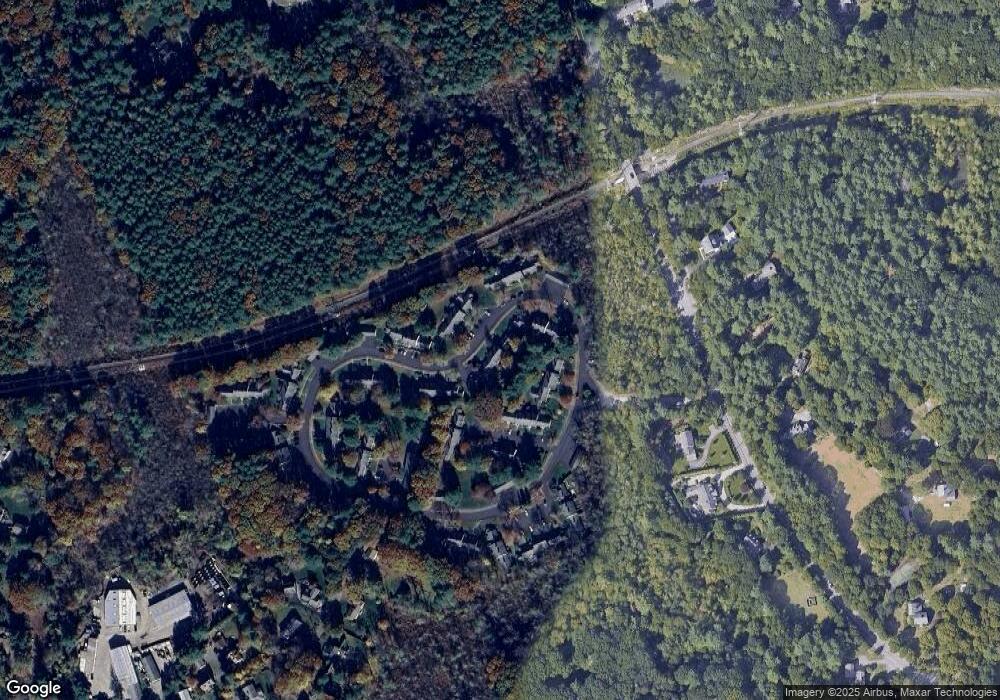
Map
Nearby Homes
- 52 Jericho Rd Unit 52
- 24 Jericho Rd Unit 24
- 8 Jericho Rd Unit 8
- 19 Warren Ln
- 23 Pine Summit Cir Unit 23
- 1 Pine Summit Cir
- 51 Church St
- 167 Conant Rd
- 1 Aberdeen Rd
- 180 Highland St
- 180 Ash St
- 226 Ash St
- 120 Church St
- 42 Westerly Rd
- 3 October Ln
- 19 Old Connecticut Path
- 31 White Rd
- 121 Cherry Brook Rd
- 9 Atlas Ln
- 14 Lundy Ln
- 60 Jericho Rd
- 58 Jericho Rd
- 56 Jericho Rd
- 54 Jericho Rd
- 52 Jericho Rd
- 60 Jericho Rd Unit 60
- 56 Jericho Rd Unit 56
- 70 Jericho Rd
- 68 Jericho Rd
- 66 Jericho Rd
- 64 Jericho Rd
- 68 Jericho Rd Unit 68
- 66 Jericho Rd Unit 66
- 85 Jericho Rd
- 83 Jericho Rd
- 81 Jericho Rd
- 79 Jericho Rd
- 85 Jericho Rd Unit 85
- 79 Jericho Rd Unit 79
- 81 Jericho Rd Unit 81