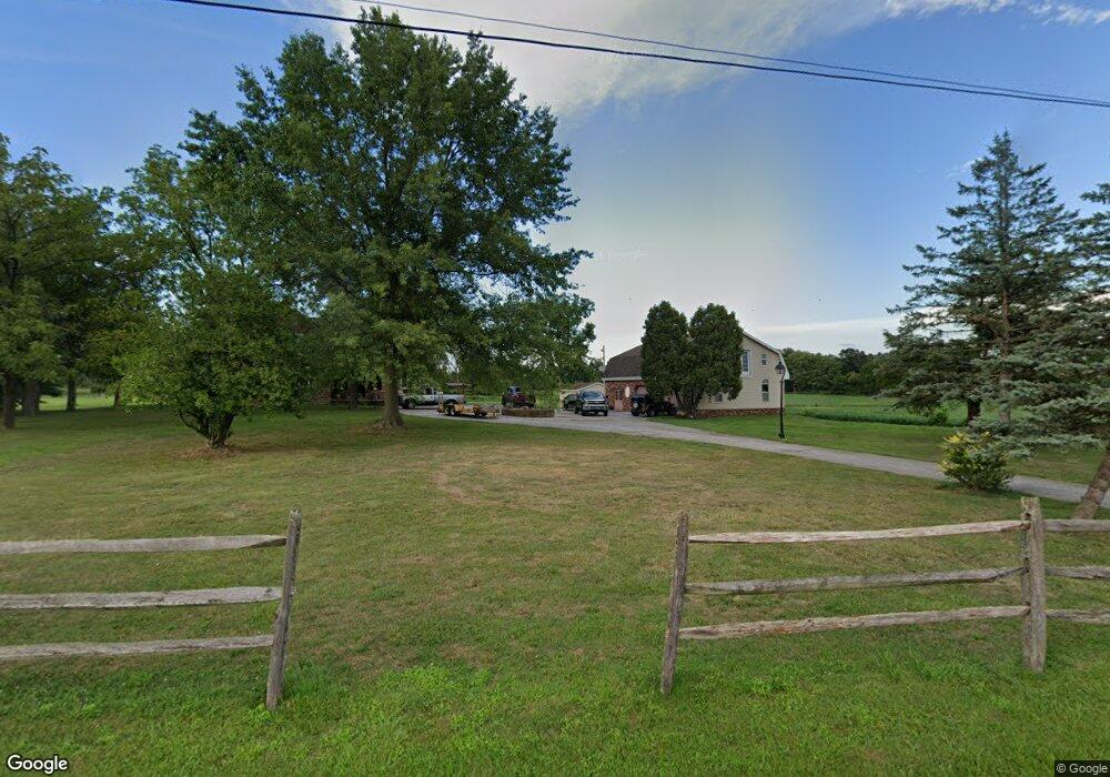
54 Kuhn Rd Littlestown, PA 17340
Estimated Value: $502,000 - $833,364
3
Beds
3
Baths
3,844
Sq Ft
$175/Sq Ft
Est. Value
About This Home
This home is located at 54 Kuhn Rd, Littlestown, PA 17340 and is currently estimated at $672,341, approximately $174 per square foot. 54 Kuhn Rd is a home located in Adams County with nearby schools including Rolling Acres El School, Maple Avenue Middle School, and Littlestown Senior High School.
Ownership History
Date
Name
Owned For
Owner Type
Purchase Details
Closed on
Jun 26, 2025
Sold by
Garber Sandra M and Seymour Anthony K
Bought by
Seymour Anthony K
Current Estimated Value
Purchase Details
Closed on
Dec 29, 2017
Sold by
Senseney Thomas M and Senseney Juanita M
Bought by
Garber Sandra M and Seymour Anthony K
Home Financials for this Owner
Home Financials are based on the most recent Mortgage that was taken out on this home.
Original Mortgage
$302,400
Interest Rate
3.9%
Mortgage Type
Purchase Money Mortgage
Purchase Details
Closed on
Apr 5, 1999
Bought by
Senseney Thomas M and Senseney Juanita M
Create a Home Valuation Report for This Property
The Home Valuation Report is an in-depth analysis detailing your home's value as well as a comparison with similar homes in the area
Purchase History
| Date | Buyer | Sale Price | Title Company |
|---|---|---|---|
| Seymour Anthony K | -- | None Listed On Document | |
| Seymour Anthony K | -- | None Listed On Document | |
| Garber Sandra M | $380,000 | Maryland Title Center Llc | |
| Senseney Thomas M | $270,000 | -- |
Source: Public Records
Mortgage History
| Date | Status | Borrower | Loan Amount |
|---|---|---|---|
| Previous Owner | Garber Sandra M | $302,400 |
Source: Public Records
Tax History
| Year | Tax Paid | Tax Assessment Tax Assessment Total Assessment is a certain percentage of the fair market value that is determined by local assessors to be the total taxable value of land and additions on the property. | Land | Improvement |
|---|---|---|---|---|
| 2025 | $5,398 | $278,500 | $15,600 | $262,900 |
| 2024 | $5,166 | $278,500 | $15,600 | $262,900 |
| 2023 | $9,281 | $278,500 | $15,600 | $262,900 |
| 2022 | $9,215 | $278,500 | $15,600 | $262,900 |
| 2021 | $8,895 | $278,500 | $15,600 | $262,900 |
| 2020 | $8,770 | $278,500 | $15,600 | $262,900 |
| 2019 | $8,587 | $278,500 | $15,600 | $262,900 |
| 2018 | $8,521 | $285,600 | $15,600 | $270,000 |
| 2017 | $4,566 | $285,800 | $15,800 | $270,000 |
| 2016 | -- | $280,700 | $15,800 | $264,900 |
| 2015 | -- | $279,300 | $14,400 | $264,900 |
| 2014 | -- | $278,000 | $13,100 | $264,900 |
Source: Public Records
Map
Nearby Homes
- 678 Littlestown Rd Unit 1
- 780 White Hall Rd
- 345 Smoketown Rd
- 464 Locust Ln
- 114 Maple St
- 28 Bonniefield Cir Unit 25
- 38 Bonniefield Cir Unit 20
- 56 Preakness St Unit 45
- 239 Race Horse Rd Unit 108
- 86 Barley Cir Unit 9
- 123 Derby Dr Unit 23
- 27 Maple St
- 20 Union St Unit 190
- 0 Locust Dr Unit PAAD2015910
- 1 Winter Dr Unit 71
- 5160 Baltimore Pike Unit 3
- 111 Eagle Ln Unit 7
- 117 Wheaton Dr Unit 119
- 73 Eagle Ln
- 13 N Pine St
Your Personal Tour Guide
Ask me questions while you tour the home.