54 Lakeside Dr Saint Albans, ME 04971
Estimated Value: $279,000 - $478,000
--
Bed
--
Bath
--
Sq Ft
1.93
Acres
About This Home
This home is located at 54 Lakeside Dr, Saint Albans, ME 04971 and is currently estimated at $411,627. 54 Lakeside Dr is a home with nearby schools including St Albans Consolidated, Somerset Elementary School, and Nokomis Regional Middle School/High School.
Ownership History
Date
Name
Owned For
Owner Type
Purchase Details
Closed on
Jan 3, 2025
Sold by
Saint Raphael J Est and Mendonca
Bought by
Garrison Brian J and Garrison Kristen L
Current Estimated Value
Home Financials for this Owner
Home Financials are based on the most recent Mortgage that was taken out on this home.
Original Mortgage
$250,000
Outstanding Balance
$247,928
Interest Rate
5.88%
Mortgage Type
Purchase Money Mortgage
Estimated Equity
$163,699
Create a Home Valuation Report for This Property
The Home Valuation Report is an in-depth analysis detailing your home's value as well as a comparison with similar homes in the area
Home Values in the Area
Average Home Value in this Area
Purchase History
| Date | Buyer | Sale Price | Title Company |
|---|---|---|---|
| Garrison Brian J | $425,000 | None Available | |
| Garrison Brian J | $425,000 | None Available |
Source: Public Records
Mortgage History
| Date | Status | Borrower | Loan Amount |
|---|---|---|---|
| Open | Garrison Brian J | $250,000 | |
| Closed | Garrison Brian J | $250,000 |
Source: Public Records
Tax History Compared to Growth
Tax History
| Year | Tax Paid | Tax Assessment Tax Assessment Total Assessment is a certain percentage of the fair market value that is determined by local assessors to be the total taxable value of land and additions on the property. | Land | Improvement |
|---|---|---|---|---|
| 2022 | $3,807 | $227,300 | $127,600 | $99,700 |
| 2021 | $3,807 | $227,300 | $127,600 | $99,700 |
| 2020 | $3,750 | $223,900 | $127,600 | $96,300 |
| 2019 | $3,750 | $223,900 | $127,600 | $96,300 |
| 2018 | $3,683 | $223,900 | $127,600 | $96,300 |
| 2017 | $3,661 | $223,900 | $127,600 | $96,300 |
| 2016 | $3,827 | $172,400 | $99,300 | $73,100 |
| 2015 | $3,500 | $172,400 | $99,300 | $73,100 |
| 2012 | $3,138 | $172,400 | $99,300 | $73,100 |
Source: Public Records
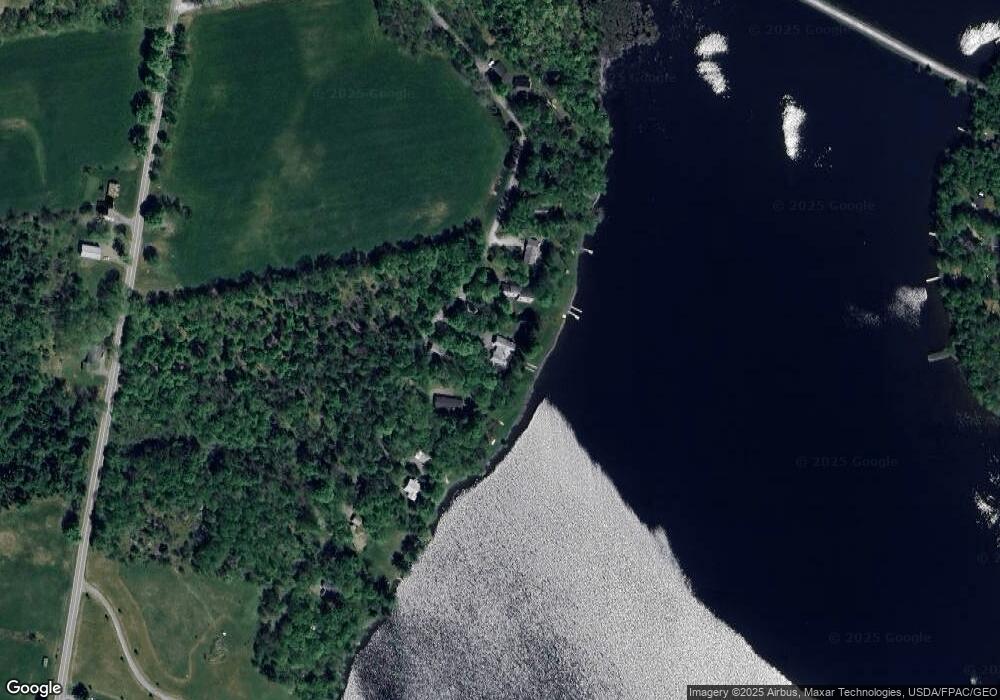
Map
Nearby Homes
- PO72,P090 Cotta Lane & Rt 43
- 19 Mason Corner Rd
- 30 Main St
- 230 Todds Corner Rd
- 4 Main St
- Lot #86-3 Martin Rd
- 43 Stage Rd
- M6 L22C Stage Rd
- M11 Loon Ln
- 40 Orchard Dr
- M9 L7 Finson Rd
- 553 Corinna Rd
- TBD Ballard Rd
- 355 Melody Ln
- 247 Commercial St
- TBD Dexter Rd
- 23 Dexter Rd
- 20 Burton St
- 83 Commercial St
- 78 Cyrs Siding Rd
- 46 Lakeside Dr
- 64 Lakeside Dr
- 0 Lakeside Dr
- Lot 40 Lakeside Dr
- 42 Lakeside Dr
- 32 Lakeside Dr
- 36 Lakeside Dr
- 70 Lakeside Dr
- 70 Lakeside Dr
- 28 Lakeside
- 20 Lakeside Dr
- 88 Lakeside Dr
- L 35 Todds Corner
- PO L35 Todds Corner Rd
- L 35(PO) Todds Corner Rd
- 20 Birch Island
- 27 Birch Island
- 92 Todds Corner Rd
- 110 Todd's Corner Rd
- 110 Todds Corner Rd