54 Lone Hand Way Breckenridge, CO 80424
Estimated Value: $1,371,000 - $1,705,000
3
Beds
3
Baths
1,416
Sq Ft
$1,091/Sq Ft
Est. Value
About This Home
This home is located at 54 Lone Hand Way, Breckenridge, CO 80424 and is currently estimated at $1,545,512, approximately $1,091 per square foot. 54 Lone Hand Way is a home with nearby schools including Upper Blue Elementary School, Summit Middle School, and Summit High School.
Ownership History
Date
Name
Owned For
Owner Type
Purchase Details
Closed on
Sep 30, 2010
Sold by
Carlson Dean William and Carlson Debra Gene
Bought by
Harvey Roger F and Bagley Sandra A
Current Estimated Value
Home Financials for this Owner
Home Financials are based on the most recent Mortgage that was taken out on this home.
Original Mortgage
$388,500
Outstanding Balance
$257,800
Interest Rate
4.46%
Mortgage Type
New Conventional
Estimated Equity
$1,287,712
Create a Home Valuation Report for This Property
The Home Valuation Report is an in-depth analysis detailing your home's value as well as a comparison with similar homes in the area
Home Values in the Area
Average Home Value in this Area
Purchase History
| Date | Buyer | Sale Price | Title Company |
|---|---|---|---|
| Harvey Roger F | $518,000 | Title Company Of The Rockies |
Source: Public Records
Mortgage History
| Date | Status | Borrower | Loan Amount |
|---|---|---|---|
| Open | Harvey Roger F | $388,500 |
Source: Public Records
Tax History Compared to Growth
Tax History
| Year | Tax Paid | Tax Assessment Tax Assessment Total Assessment is a certain percentage of the fair market value that is determined by local assessors to be the total taxable value of land and additions on the property. | Land | Improvement |
|---|---|---|---|---|
| 2024 | $4,599 | $97,164 | -- | -- |
| 2023 | $4,599 | $93,478 | $0 | $0 |
| 2022 | $3,039 | $57,810 | $0 | $0 |
| 2021 | $3,095 | $59,474 | $0 | $0 |
| 2020 | $2,945 | $56,138 | $0 | $0 |
| 2019 | $2,904 | $56,138 | $0 | $0 |
| 2018 | $2,411 | $45,173 | $0 | $0 |
| 2017 | $2,206 | $45,173 | $0 | $0 |
| 2016 | $2,113 | $42,608 | $0 | $0 |
| 2015 | $2,045 | $42,608 | $0 | $0 |
| 2014 | $1,939 | $39,871 | $0 | $0 |
| 2013 | -- | $39,871 | $0 | $0 |
Source: Public Records
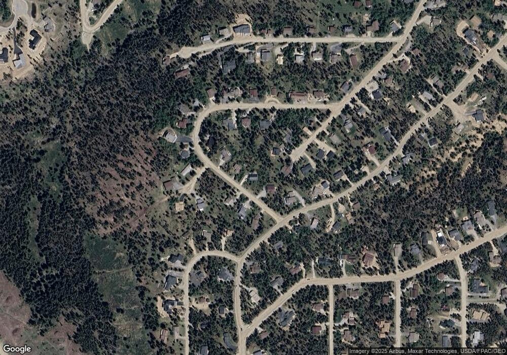
Map
Nearby Homes
- 163 Lone Hand Way
- 3824 Ski Hill Rd
- 61 Pine Cir
- 5629 Barton Rd
- 1187 American Way
- 111 Burro Ln
- 41 Barton Ridge Dr
- 60 Barton Ridge Dr
- 599 American Way
- 226 Barton Way
- 66 Sitzmark Cir
- 384 Blue Ridge Rd
- 278 Snowshoe Cir
- 167 Independence Cir
- 1009 American Way
- 63 Twin Pines Ct
- 322 Slalom Dr
- 282 Slalom Dr
- 764 Blue Ridge Rd
- 74 Lone Hand Way
- 34 Lone Hand Way
- 1509 American Way
- 63 Lone Hand Way
- 94 Lone Hand Way
- 1498 American Way
- 43 Lone Hand Way
- 169 American Way
- 19 Lone Hand Way
- 224 Lone Hand Way
- 244 Lone Hand Way
- 1489 American Way
- 144 Lone Hand Way
- 32 Timber Way
- 1478 American Way
- 99 American Way
- 184 Lone Hand Way
- 11 Timber Way
- 148 American Way
- 209 American Way