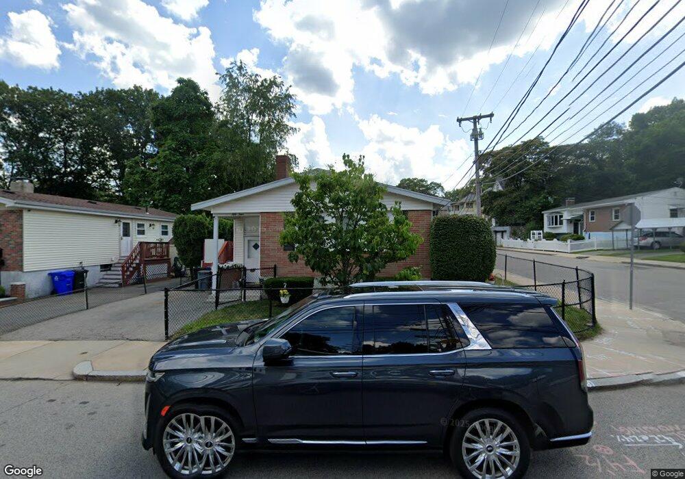
54 Messinger St Mattapan, MA 02126
Southern Mattapan NeighborhoodEstimated Value: $511,000 - $577,000
3
Beds
1
Bath
1,090
Sq Ft
$491/Sq Ft
Est. Value
About This Home
This home is located at 54 Messinger St, Mattapan, MA 02126 and is currently estimated at $535,356, approximately $491 per square foot. 54 Messinger St is a home located in Suffolk County with nearby schools including KIPP Academy Boston Charter School and Berea Sda Academy.
Ownership History
Date
Name
Owned For
Owner Type
Purchase Details
Closed on
Mar 27, 1989
Sold by
Kinkead Gareth P
Bought by
Smith Charles R
Current Estimated Value
Home Financials for this Owner
Home Financials are based on the most recent Mortgage that was taken out on this home.
Original Mortgage
$95,000
Interest Rate
10.49%
Mortgage Type
Purchase Money Mortgage
Create a Home Valuation Report for This Property
The Home Valuation Report is an in-depth analysis detailing your home's value as well as a comparison with similar homes in the area
Home Values in the Area
Average Home Value in this Area
Purchase History
| Date | Buyer | Sale Price | Title Company |
|---|---|---|---|
| Smith Charles R | $154,000 | -- |
Source: Public Records
Mortgage History
| Date | Status | Borrower | Loan Amount |
|---|---|---|---|
| Closed | Smith Charles R | $95,000 |
Source: Public Records
Tax History
| Year | Tax Paid | Tax Assessment Tax Assessment Total Assessment is a certain percentage of the fair market value that is determined by local assessors to be the total taxable value of land and additions on the property. | Land | Improvement |
|---|---|---|---|---|
| 2025 | $5,183 | $447,600 | $148,000 | $299,600 |
| 2024 | $4,583 | $420,500 | $144,500 | $276,000 |
| 2023 | $4,300 | $400,400 | $137,600 | $262,800 |
| 2022 | $4,033 | $370,700 | $127,400 | $243,300 |
| 2021 | $3,708 | $347,500 | $121,300 | $226,200 |
| 2020 | $3,152 | $298,500 | $117,300 | $181,200 |
| 2019 | $3,026 | $287,100 | $87,900 | $199,200 |
| 2018 | $2,812 | $268,300 | $87,900 | $180,400 |
| 2017 | $2,527 | $238,600 | $87,900 | $150,700 |
| 2016 | $2,386 | $216,900 | $87,900 | $129,000 |
| 2015 | $2,158 | $178,200 | $88,100 | $90,100 |
| 2014 | $2,056 | $163,400 | $88,100 | $75,300 |
Source: Public Records
Map
Nearby Homes
- 36-38 Hallowell St
- 20 Monterey Ave
- 10 Brockton St
- 231 Itasca St
- 95 Woodhaven St
- 60 and 64 Monterey Ave
- 770 Cummins Hwy Unit 1
- 770 Cummins Hwy Unit 22
- 839-843 Cummins Hwy
- 116 Almont St
- 14-14R Kennebec St
- 18 Rugby Rd
- 72 Livermore St
- 58 Mattapan St
- 853 Cummins Hwy
- 179 Hebron St
- 34 Ridlon Rd
- 4 Crossman St Unit 4
- 8 Faunce Rd Unit A
- 11 French St
- 50 Messinger St
- 130 Orlando St
- 121 Orlando St
- 46 Messinger St
- 134 Orlando St
- 49 Messigner St
- 49 Messinger St
- 133 Orlando St
- 45 Messinger St
- 101 Orlando St
- 42 Messinger St
- 58 Messinger St
- 140 Orlando St
- 141 Orlando St
- 56 Hallowell St
- 41 Messinger St
- 57 Messinger St
- 98 Orlando St
- 38 Messinger St
- 97 Orlando St
Your Personal Tour Guide
Ask me questions while you tour the home.