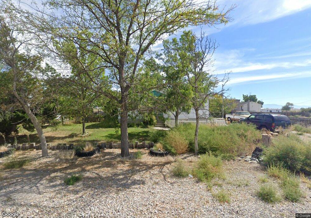
54 N 100 E Hinckley, UT 84635
Estimated Value: $255,000 - $340,889
3
Beds
2
Baths
2,008
Sq Ft
$146/Sq Ft
Est. Value
About This Home
This home is located at 54 N 100 E, Hinckley, UT 84635 and is currently estimated at $293,963, approximately $146 per square foot. 54 N 100 E is a home located in Millard County.
Ownership History
Date
Name
Owned For
Owner Type
Purchase Details
Closed on
Apr 20, 2012
Sold by
Federal National Mortgage Association
Bought by
Thompson Wendell Alan and Thompson Randi Lynn
Current Estimated Value
Home Financials for this Owner
Home Financials are based on the most recent Mortgage that was taken out on this home.
Original Mortgage
$99,000
Outstanding Balance
$73,185
Interest Rate
4.05%
Mortgage Type
USDA
Estimated Equity
$220,778
Purchase Details
Closed on
Sep 20, 2007
Sold by
Albers Andrew J and Albers Lois Kelly
Bought by
Burrows Brock
Home Financials for this Owner
Home Financials are based on the most recent Mortgage that was taken out on this home.
Original Mortgage
$149,350
Interest Rate
6.46%
Mortgage Type
New Conventional
Create a Home Valuation Report for This Property
The Home Valuation Report is an in-depth analysis detailing your home's value as well as a comparison with similar homes in the area
Home Values in the Area
Average Home Value in this Area
Purchase History
| Date | Buyer | Sale Price | Title Company |
|---|---|---|---|
| Thompson Wendell Alan | $90,000 | -- | |
| Burrows Brock | -- | -- |
Source: Public Records
Mortgage History
| Date | Status | Borrower | Loan Amount |
|---|---|---|---|
| Open | Thompson Wendell Alan | $99,000 | |
| Previous Owner | Burrows Brock | $149,350 |
Source: Public Records
Tax History Compared to Growth
Tax History
| Year | Tax Paid | Tax Assessment Tax Assessment Total Assessment is a certain percentage of the fair market value that is determined by local assessors to be the total taxable value of land and additions on the property. | Land | Improvement |
|---|---|---|---|---|
| 2025 | $1,188 | $141,007 | $31,527 | $109,480 |
| 2024 | $1,188 | $126,237 | $12,335 | $113,902 |
| 2023 | $1,543 | $126,237 | $12,335 | $113,902 |
| 2022 | $912 | $76,639 | $11,214 | $65,425 |
| 2021 | $744 | $59,504 | $9,345 | $50,159 |
| 2020 | $666 | $53,277 | $8,900 | $44,377 |
| 2019 | $661 | $53,277 | $8,900 | $44,377 |
| 2018 | $644 | $53,277 | $8,900 | $44,377 |
| 2017 | $655 | $51,985 | $8,900 | $43,085 |
| 2016 | $627 | $51,985 | $8,900 | $43,085 |
| 2015 | $625 | $51,624 | $8,900 | $42,724 |
| 2014 | -- | $51,624 | $8,900 | $42,724 |
| 2013 | -- | $50,379 | $8,900 | $41,479 |
Source: Public Records
Map
Nearby Homes
- 168 N 100 Rd W
- 6500 W 2000 S
- 289 W Center St S
- 1040 W Center St
- 3480 S 4000 W
- 700 Acres
- 1500 S 10000 W
- 6000 N 10000 W
- 700 Acres Hwy 6 & Main St (Hwy 50)
- 2000 E 10500 N
- 6200 S 3000 W
- 3770 S 4000 Rd W
- 0 Tbd 3000 Rd S Unit LotWP001
- 6177 S 3000 Rd W
- 3885 W 4500 S
- 17000 W 2500 Rd S
- 16700 W 2500 South Rd
- 16800 W 2500 South Rd
- 470 S 2750 W Unit 6
- 460 S 2750 W Unit 7