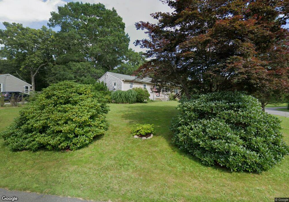
54 Newton St Westport, MA 02790
North Westport NeighborhoodEstimated Value: $424,000 - $542,000
3
Beds
--
Bath
1,248
Sq Ft
$388/Sq Ft
Est. Value
About This Home
This home is located at 54 Newton St, Westport, MA 02790 and is currently estimated at $483,651, approximately $387 per square foot. 54 Newton St is a home located in Bristol County with nearby schools including Alice A. Macomber Primary School, Westport Elementary School, and Westport Middle-High School.
Ownership History
Date
Name
Owned For
Owner Type
Purchase Details
Closed on
Apr 29, 2022
Sold by
Marshall Cecelia B
Bought by
Gonsalves-Saulnier Isaiah and Gonsalves Brittany M
Current Estimated Value
Home Financials for this Owner
Home Financials are based on the most recent Mortgage that was taken out on this home.
Original Mortgage
$280,000
Outstanding Balance
$262,308
Interest Rate
4.16%
Mortgage Type
Purchase Money Mortgage
Estimated Equity
$221,343
Purchase Details
Closed on
Jan 5, 2007
Sold by
Walter Turowetz Memor and Walter Edward
Bought by
Machado James and Barreira Timothy L
Purchase Details
Closed on
Mar 29, 2006
Sold by
Manchester Richard E
Bought by
Walter Turowetz Memo R and Edward Chad
Purchase Details
Closed on
Mar 2, 2005
Sold by
Maximillian Nt and Marshall
Bought by
Marshall Cecelia B C
Home Financials for this Owner
Home Financials are based on the most recent Mortgage that was taken out on this home.
Original Mortgage
$181,000
Interest Rate
5.66%
Mortgage Type
Purchase Money Mortgage
Purchase Details
Closed on
Apr 10, 2001
Sold by
Souza James P and Souza Ppaulette H
Bought by
Maximilliam Nt and Marshall
Purchase Details
Closed on
Oct 6, 1995
Sold by
Manchester Richard E and Manchester Corinne
Bought by
Souza James P and Souza Paulette H
Create a Home Valuation Report for This Property
The Home Valuation Report is an in-depth analysis detailing your home's value as well as a comparison with similar homes in the area
Home Values in the Area
Average Home Value in this Area
Purchase History
| Date | Buyer | Sale Price | Title Company |
|---|---|---|---|
| Gonsalves-Saulnier Isaiah | $350,000 | None Available | |
| Machado James | $50,000 | -- | |
| Walter Turowetz Memo R | $400 | -- | |
| Marshall Cecelia B C | -- | -- | |
| Maximilliam Nt | $166,500 | -- | |
| Souza James P | $119,900 | -- |
Source: Public Records
Mortgage History
| Date | Status | Borrower | Loan Amount |
|---|---|---|---|
| Open | Gonsalves-Saulnier Isaiah | $280,000 | |
| Previous Owner | Souza James P | $250,000 | |
| Previous Owner | Souza James P | $181,000 |
Source: Public Records
Tax History Compared to Growth
Tax History
| Year | Tax Paid | Tax Assessment Tax Assessment Total Assessment is a certain percentage of the fair market value that is determined by local assessors to be the total taxable value of land and additions on the property. | Land | Improvement |
|---|---|---|---|---|
| 2025 | $2,990 | $401,400 | $154,900 | $246,500 |
| 2024 | $2,988 | $386,600 | $143,500 | $243,100 |
| 2023 | $2,390 | $292,900 | $136,700 | $156,200 |
| 2022 | $2,285 | $269,400 | $136,700 | $132,700 |
| 2021 | $2,215 | $257,000 | $124,300 | $132,700 |
| 2020 | $2,124 | $252,000 | $119,300 | $132,700 |
| 2019 | $1,975 | $238,800 | $108,500 | $130,300 |
| 2018 | $1,948 | $238,400 | $121,400 | $117,000 |
| 2017 | $1,898 | $238,200 | $123,700 | $114,500 |
| 2016 | $1,837 | $232,200 | $128,400 | $103,800 |
| 2015 | $1,767 | $222,800 | $130,700 | $92,100 |
Source: Public Records
Map
Nearby Homes
- 51 Newton St
- 219 Tickle Rd
- 0 Tickle Rd Unit 73453134
- 33 Moniz Dr
- 100 Cory's Ln
- 47 Devol Ave
- 100 Corys Ln
- 40 Robert St
- 218 American Legion Hwy
- 75 Montgomery St
- 14 Glendale Ave
- 771 Sanford Rd
- 1125 Stafford Rd Unit 5
- 8 Campion Ave
- 0 Crandall Rd
- 47 Robert St
- 71 Blackbird St
- 9 Blackbird St
- 92 Benoit St
- 37 Bluejay St