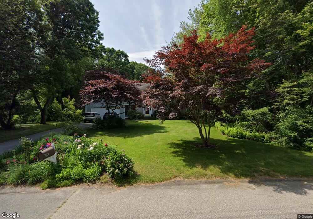
54 Pamela Ct Saunderstown, RI 02874
Saunderstown NeighborhoodEstimated Value: $790,000 - $960,000
3
Beds
3
Baths
1,922
Sq Ft
$450/Sq Ft
Est. Value
About This Home
This home is located at 54 Pamela Ct, Saunderstown, RI 02874 and is currently estimated at $865,801, approximately $450 per square foot. 54 Pamela Ct is a home located in Washington County with nearby schools including Stony Lane Elementary School, Wickford Middle School, and North Kingstown Sr. High School.
Ownership History
Date
Name
Owned For
Owner Type
Purchase Details
Closed on
Jul 24, 2009
Sold by
Cartus Financial Corp
Bought by
Martin Todd A and Martin Rebecca A
Current Estimated Value
Purchase Details
Closed on
Jul 27, 2004
Sold by
Pedro John and Pedro Kristen
Bought by
Stumm Brian and Stumm Janet
Purchase Details
Closed on
Dec 14, 1998
Sold by
Provost Paul M and Provost Linda E K
Bought by
Pedro John F and Pedro Kristen M
Purchase Details
Closed on
May 21, 1996
Sold by
Pat Realty Dev Co Inc
Bought by
Provost Paul M and Provost Linda
Create a Home Valuation Report for This Property
The Home Valuation Report is an in-depth analysis detailing your home's value as well as a comparison with similar homes in the area
Home Values in the Area
Average Home Value in this Area
Purchase History
| Date | Buyer | Sale Price | Title Company |
|---|---|---|---|
| Martin Todd A | $350,000 | -- | |
| Cartus Financial Corp | $350,000 | -- | |
| Stumm Brian | $450,000 | -- | |
| Pedro John F | $205,000 | -- | |
| Provost Paul M | $187,000 | -- |
Source: Public Records
Mortgage History
| Date | Status | Borrower | Loan Amount |
|---|---|---|---|
| Open | Provost Paul M | $241,400 | |
| Closed | Provost Paul M | $256,000 |
Source: Public Records
Tax History
| Year | Tax Paid | Tax Assessment Tax Assessment Total Assessment is a certain percentage of the fair market value that is determined by local assessors to be the total taxable value of land and additions on the property. | Land | Improvement |
|---|---|---|---|---|
| 2025 | $7,860 | $712,000 | $273,200 | $438,800 |
| 2024 | $7,378 | $514,500 | $180,800 | $333,700 |
| 2023 | $7,378 | $514,500 | $180,800 | $333,700 |
| 2022 | $7,234 | $514,500 | $180,800 | $333,700 |
| 2021 | $7,159 | $409,100 | $129,200 | $279,900 |
| 2020 | $6,992 | $409,100 | $129,200 | $279,900 |
| 2019 | $6,992 | $409,100 | $129,200 | $279,900 |
| 2018 | $6,943 | $366,000 | $120,500 | $245,500 |
| 2017 | $6,804 | $366,000 | $120,500 | $245,500 |
| 2016 | $6,610 | $366,000 | $120,500 | $245,500 |
| 2015 | $6,631 | $343,600 | $120,500 | $223,100 |
| 2014 | $6,497 | $343,600 | $120,500 | $223,100 |
Source: Public Records
Map
Nearby Homes
- 613 Slocum Rd
- 604 Stony Fort Rd
- 371 Glen Hill Dr
- 294 Sylvan Ct
- 147 Brigade Dr
- 58 Brigade Dr
- 202 Explorer Dr
- 210 Explorer Dr
- 111 Mourning Dove Dr
- 331 Congdon Hill Rd
- 78 Conservatory Way Unit 78
- 344 Tower Hill Rd
- 95 S Woods Dr
- 155 Beechwood Hill Trail
- 2180 Tower Hill Rd
- 115 Cardinal Dr
- 1729 South Rd Unit C
- 1724 South Rd
- 299 W Allenton Rd
- 65 Village Hill Ln
- 42 Pamela Ct
- 0 Pamela Ct
- 70 Pamela Ct
- 51 Pamela Ct
- 71 Pamela Ct
- 86 Pamela Ct
- 120 Sugarbush Trail
- 23 Pamela Ct
- 114 Sugarbush Trail
- 85 Pamela Ct
- 20 Pamela Ct
- 13 Pamela Ct
- 142 Candy Apple Ln
- 128 Sugarbush Trail
- 108 Sugarbush Trail
- 156 Candy Apple Ln
- 95 Pamela Ct
- 98 Pamela Ct
- 99 Pamela Ct
- 35 Macintosh Ln
Your Personal Tour Guide
Ask me questions while you tour the home.