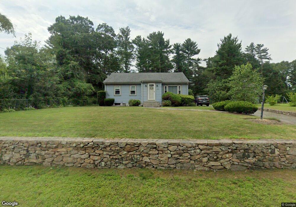
54 Park Dr Acushnet, MA 02743
Sherwood Forest NeighborhoodEstimated Value: $444,265 - $543,000
About This Home
This home is located at 54 Park Dr, Acushnet, MA 02743 and is currently estimated at $508,066, approximately $351 per square foot. 54 Park Dr is a home located in Bristol County with nearby schools including Acushnet Elementary School, Albert F Ford Middle School, and Alma del Mar Charter School.
Ownership History
We collect this data history from publicly available records. To have your information removed, we recommend requesting removal directly through your county’s website.
Purchase Details
Home Values in the Area
Average Home Value in this Area
Purchase History
We collect this data history from publicly available records. To have your information removed, we recommend requesting removal directly through your county’s website.
| Date | Buyer | Sale Price | Title Company |
|---|---|---|---|
| $113,000 | -- |
Mortgage History
We collect this data history from publicly available records. To have your information removed, we recommend requesting removal directly through your county’s website.
| Date | Status | Borrower | Loan Amount |
|---|---|---|---|
| Closed | $30,000 |
Tax History
We collect this data history from publicly available records. To have your information removed, we recommend requesting removal directly through your county’s website.
| Year | Tax Paid | Tax Assessment Tax Assessment Total Assessment is a certain percentage of the fair market value that is determined by local assessors to be the total taxable value of land and additions on the property. | Land | Improvement |
|---|---|---|---|---|
| 2025 | $34 | $316,800 | $106,300 | $210,500 |
| 2024 | $3,326 | $291,500 | $101,700 | $189,800 |
| 2023 | $3,216 | $268,000 | $92,500 | $175,500 |
| 2022 | $3,193 | $240,600 | $87,800 | $152,800 |
| 2021 | $3,072 | $222,100 | $87,800 | $134,300 |
| 2020 | $3,096 | $222,100 | $87,800 | $134,300 |
| 2019 | $3,018 | $212,800 | $87,800 | $125,000 |
| 2018 | $2,914 | $202,100 | $87,800 | $114,300 |
| 2017 | $2,813 | $194,800 | $87,800 | $107,000 |
| 2016 | $2,733 | $188,100 | $87,800 | $100,300 |
| 2015 | $2,590 | $181,400 | $87,800 | $93,600 |
Map
- 79 Park Dr
- 9 Joseph St
- 8 Morses Ln
- 375 Middle Rd
- 1015 Forbes St
- 973 Pembroke St
- Lot 40 Foley Dr
- Lot 3 Beverly St
- 403 Valley Rd
- 75 Erin Ct
- 3979 Acushnet Ave
- 47 Seth Daniel Dr
- 15 Mary Dr
- 117 Farland Cir
- WS Phillips Rd
- 99 Stephanie Place
- 1940 Phillips Rd Unit 17
- 220 Belair St
- 1481 Phillips Rd Unit 1305
- 35 Avery St
Ask me questions while you tour the home.