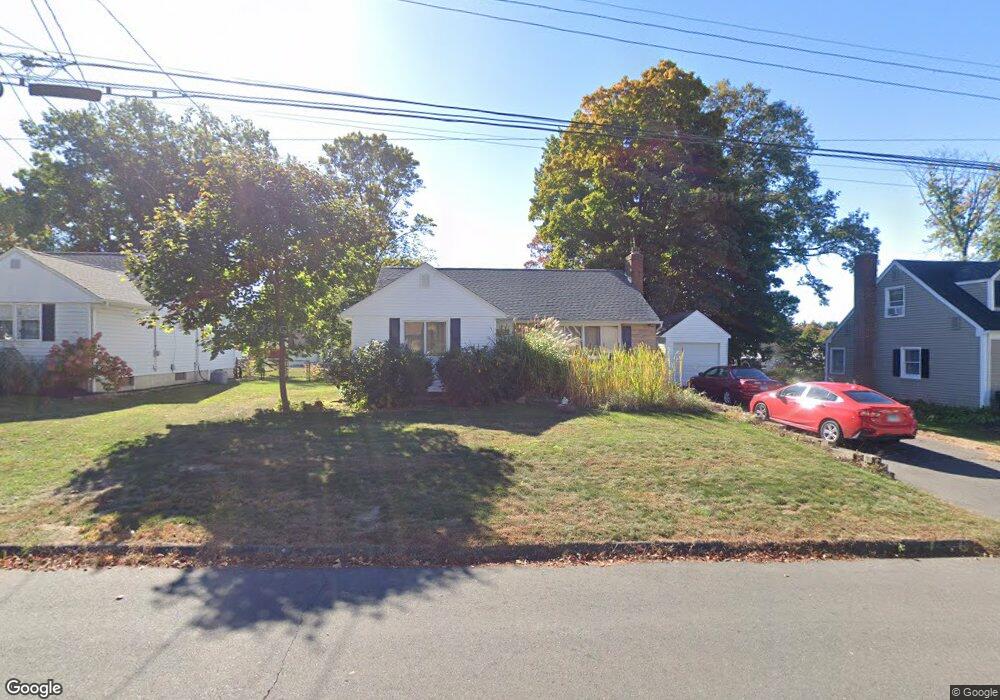
54 Paul St Bristol, CT 06010
Forestville NeighborhoodEstimated Value: $304,000 - $329,000
3
Beds
1
Bath
1,148
Sq Ft
$275/Sq Ft
Est. Value
About This Home
This home is located at 54 Paul St, Bristol, CT 06010 and is currently estimated at $315,984, approximately $275 per square foot. 54 Paul St is a home located in Hartford County with nearby schools including Northeast Middle School, Bristol Eastern High School, and St Matthew School.
Ownership History
Date
Name
Owned For
Owner Type
Purchase Details
Closed on
Aug 29, 2006
Sold by
Aivas Mary T
Bought by
Bandurski Joseph and Bandurski Rene
Current Estimated Value
Home Financials for this Owner
Home Financials are based on the most recent Mortgage that was taken out on this home.
Original Mortgage
$166,400
Outstanding Balance
$100,798
Interest Rate
6.83%
Estimated Equity
$215,186
Purchase Details
Closed on
Sep 16, 1998
Sold by
Sidelinger David A and Sidelinger Dorothy R
Bought by
Sweeney Pamela A
Create a Home Valuation Report for This Property
The Home Valuation Report is an in-depth analysis detailing your home's value as well as a comparison with similar homes in the area
Home Values in the Area
Average Home Value in this Area
Purchase History
| Date | Buyer | Sale Price | Title Company |
|---|---|---|---|
| Bandurski Joseph | $208,000 | -- | |
| Sweeney Pamela A | $115,000 | -- |
Source: Public Records
Mortgage History
| Date | Status | Borrower | Loan Amount |
|---|---|---|---|
| Open | Sweeney Pamela A | $166,400 | |
| Closed | Sweeney Pamela A | $41,600 |
Source: Public Records
Tax History Compared to Growth
Tax History
| Year | Tax Paid | Tax Assessment Tax Assessment Total Assessment is a certain percentage of the fair market value that is determined by local assessors to be the total taxable value of land and additions on the property. | Land | Improvement |
|---|---|---|---|---|
| 2025 | $5,214 | $154,490 | $39,270 | $115,220 |
| 2024 | $4,921 | $154,490 | $39,270 | $115,220 |
| 2023 | $4,689 | $154,490 | $39,270 | $115,220 |
| 2022 | $4,260 | $111,090 | $31,850 | $79,240 |
| 2021 | $4,260 | $111,090 | $31,850 | $79,240 |
| 2020 | $4,260 | $111,090 | $31,850 | $79,240 |
| 2019 | $4,227 | $111,090 | $31,850 | $79,240 |
| 2018 | $4,097 | $111,090 | $31,850 | $79,240 |
| 2017 | $3,917 | $108,710 | $39,620 | $69,090 |
| 2016 | $3,917 | $108,710 | $39,620 | $69,090 |
| 2015 | $3,762 | $108,710 | $39,620 | $69,090 |
| 2014 | $3,762 | $108,710 | $39,620 | $69,090 |
Source: Public Records
Map
Nearby Homes
- 245 Mark St
- 44 Cabot St
- 0 Overlook Dr Unit Lot 4 24092448
- 0 Overlook Dr Unit Lot 3 24092446
- 18 Timber Hill Rd
- 73 Grove Ave
- 109 Glenwood Dr
- 43 Hiltbrand Rd Unit 2-11
- 23 Junior Rd
- 23 Bel Aire Dr
- 5 Peach Orchard Hill
- 3 Bushel Rd Unit 3
- 12 Currey Ct
- 35 Buckley Ave
- 9 Murzen Ln
- 16 Cardinal Dr
- 51 Songbird Ln
- 1469 Farmington Ave Unit 17
- 302 Brook St
- 58 Matilda Dr