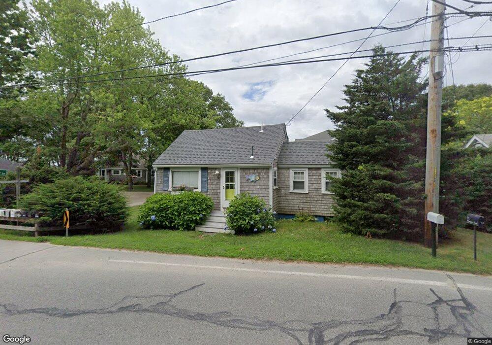
54 Prospect Rd Mattapoisett, MA 02739
Estimated Value: $399,831 - $538,000
1
Bed
1
Bath
498
Sq Ft
$908/Sq Ft
Est. Value
About This Home
This home is located at 54 Prospect Rd, Mattapoisett, MA 02739 and is currently estimated at $452,208, approximately $908 per square foot. 54 Prospect Rd is a home located in Plymouth County with nearby schools including Center School, Old Hammondtown Elementary, and Old Rochester Regional High School.
Ownership History
Date
Name
Owned For
Owner Type
Purchase Details
Closed on
May 31, 2005
Sold by
Brady John F and Flynn Joseph L
Bought by
Dunham Marya M and Dunham John
Current Estimated Value
Home Financials for this Owner
Home Financials are based on the most recent Mortgage that was taken out on this home.
Original Mortgage
$225,600
Outstanding Balance
$119,138
Interest Rate
5.94%
Mortgage Type
Purchase Money Mortgage
Estimated Equity
$333,070
Create a Home Valuation Report for This Property
The Home Valuation Report is an in-depth analysis detailing your home's value as well as a comparison with similar homes in the area
Home Values in the Area
Average Home Value in this Area
Purchase History
| Date | Buyer | Sale Price | Title Company |
|---|---|---|---|
| Dunham Marya M | $237,500 | -- | |
| Dunham Marya M | $237,500 | -- |
Source: Public Records
Mortgage History
| Date | Status | Borrower | Loan Amount |
|---|---|---|---|
| Open | Dunham Marya M | $225,600 | |
| Closed | Dunham Marya M | $225,600 |
Source: Public Records
Tax History Compared to Growth
Tax History
| Year | Tax Paid | Tax Assessment Tax Assessment Total Assessment is a certain percentage of the fair market value that is determined by local assessors to be the total taxable value of land and additions on the property. | Land | Improvement |
|---|---|---|---|---|
| 2025 | $3,073 | $285,600 | $162,500 | $123,100 |
| 2024 | $2,987 | $284,200 | $162,500 | $121,700 |
| 2023 | $2,562 | $227,700 | $138,800 | $88,900 |
| 2022 | $2,537 | $204,600 | $115,700 | $88,900 |
| 2021 | $2,237 | $172,600 | $105,100 | $67,500 |
| 2020 | $2,193 | $162,600 | $100,100 | $62,500 |
| 2019 | $2,148 | $162,600 | $100,100 | $62,500 |
| 2018 | $1,988 | $152,700 | $88,900 | $63,800 |
| 2017 | $2,026 | $155,000 | $97,800 | $57,200 |
| 2016 | $1,988 | $150,600 | $93,400 | $57,200 |
| 2015 | $1,959 | $150,700 | $96,000 | $54,700 |
| 2014 | $1,939 | $152,400 | $96,000 | $56,400 |
Source: Public Records
Map
Nearby Homes
- 1 Angelica Ave
- 6 Ocean Breeze Ln
- 8 Channel St
- 0 (Lot D) Angelica Ave
- 15 Ned's Point Rd
- 11 Cove St
- 7 Aucoot Rd
- 11 Captains Ln
- 11 Bay Rd
- 8 Captains Ln
- 0 (Lot 2) Hollywoods Rd
- 52 Prince Snow Cir
- 0 Harbor Acres Ln - Lot B
- 35 North St
- 7 Pearl St
- 31 Split Rock Ln
- 6 North Rd
- 9 Hitching Post Rd
- 1 Starboard Way
- 41 Starboard Way
- 52 Prospect Rd
- Off Angelica & Prospect
- A Angelica Ave
- 0 Angelica Ave
- 0 Angelica Ave Unit 21209411
- 0 Angelica Ave Unit 21712465
- 0 Angelica Ave Unit 21712775
- 0 Angelica Ave Unit 3 21715897
- 4 Bay View Avenue cd
- 1 Bay View Avenue cd
- 2 Shore St
- 0 Canal Ave
- 6 Pine St
- 61 Prospect Rd
- 50 Prospect Rd
- 0 Angelica Ave Lot 3 Unit 71582579
- 0 Angelica Ave Lot 3 Unit 71862655
- 0 Angelica Ave Lot 3 Unit 72026095
- 0 Angelica Ave Lot3 Unit 72233697
- 3 Angelica Ave