54 Quail Run Tewksbury, MA 01876
Estimated Value: $474,864 - $488,000
2
Beds
2
Baths
1,212
Sq Ft
$397/Sq Ft
Est. Value
About This Home
This home is located at 54 Quail Run, Tewksbury, MA 01876 and is currently estimated at $480,966, approximately $396 per square foot. 54 Quail Run is a home located in Middlesex County.
Ownership History
Date
Name
Owned For
Owner Type
Purchase Details
Closed on
Aug 14, 2013
Sold by
Murphy Jane C
Bought by
Jane C Murphy T
Current Estimated Value
Purchase Details
Closed on
Jun 30, 1998
Sold by
Fish Joseph C and Fish Hilda A
Bought by
Murphy Andrew J and Murphy Jane C
Home Financials for this Owner
Home Financials are based on the most recent Mortgage that was taken out on this home.
Original Mortgage
$100,000
Interest Rate
7.09%
Mortgage Type
Purchase Money Mortgage
Purchase Details
Closed on
Aug 31, 1987
Sold by
Anders Barbara J
Bought by
Fish Joseph C
Home Financials for this Owner
Home Financials are based on the most recent Mortgage that was taken out on this home.
Original Mortgage
$113,600
Interest Rate
10.24%
Mortgage Type
Purchase Money Mortgage
Create a Home Valuation Report for This Property
The Home Valuation Report is an in-depth analysis detailing your home's value as well as a comparison with similar homes in the area
Home Values in the Area
Average Home Value in this Area
Purchase History
| Date | Buyer | Sale Price | Title Company |
|---|---|---|---|
| Jane C Murphy T | -- | -- | |
| Murphy Andrew J | $143,000 | -- | |
| Fish Joseph C | $142,000 | -- |
Source: Public Records
Mortgage History
| Date | Status | Borrower | Loan Amount |
|---|---|---|---|
| Previous Owner | Fish Joseph C | $100,000 | |
| Previous Owner | Fish Joseph C | $113,600 |
Source: Public Records
Tax History Compared to Growth
Tax History
| Year | Tax Paid | Tax Assessment Tax Assessment Total Assessment is a certain percentage of the fair market value that is determined by local assessors to be the total taxable value of land and additions on the property. | Land | Improvement |
|---|---|---|---|---|
| 2025 | $5,502 | $416,200 | $0 | $416,200 |
| 2024 | $5,139 | $383,800 | $0 | $383,800 |
| 2023 | $4,927 | $349,400 | $0 | $349,400 |
| 2022 | $4,821 | $317,200 | $0 | $317,200 |
| 2021 | $4,724 | $300,500 | $0 | $300,500 |
| 2020 | $4,694 | $293,900 | $0 | $293,900 |
| 2019 | $3,835 | $242,100 | $0 | $242,100 |
| 2018 | $3,768 | $233,600 | $0 | $233,600 |
| 2017 | $3,601 | $220,800 | $0 | $220,800 |
| 2016 | $3,613 | $221,000 | $0 | $221,000 |
| 2015 | $3,408 | $208,200 | $0 | $208,200 |
| 2014 | $3,427 | $212,700 | $0 | $212,700 |
Source: Public Records
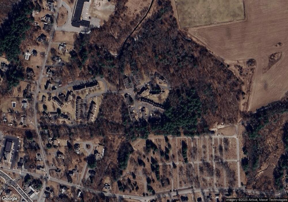
Map
Nearby Homes
- 13 Berkeley
- 20 Sophie Ruth Way
- 1117 Emerald Ct
- 1224 Emerald Ct
- 910 Livingston St
- 97 Kendall Rd
- 900 Livingston St
- 399 North St
- 11 Orchard St
- 12 Hillcrest Rd
- 1325 Main
- 18 Newton Ave
- 43 Patrick Rd
- 61 Patrick Rd
- 1170 Livingston St
- 1418 Main St Unit 201
- 1455 Main St Unit 8
- 172 Patrick Rd
- 20 Meredith Rd
- 101 Squire Ln