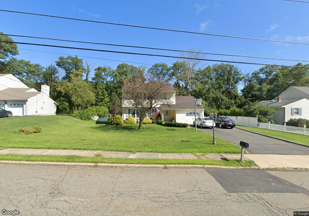
54 Queens Rd Rockaway, NJ 07866
Estimated Value: $617,675 - $723,000
--
Bed
--
Bath
1,850
Sq Ft
$360/Sq Ft
Est. Value
About This Home
This home is located at 54 Queens Rd, Rockaway, NJ 07866 and is currently estimated at $666,919, approximately $360 per square foot. 54 Queens Rd is a home located in Morris County with nearby schools including Dennis B O Brien School, Copeland Middle School, and Divine Mercy Academy.
Ownership History
Date
Name
Owned For
Owner Type
Purchase Details
Closed on
Jun 10, 2004
Sold by
Murphree Kenneth
Bought by
Nieves John and Nieves Claudia
Current Estimated Value
Home Financials for this Owner
Home Financials are based on the most recent Mortgage that was taken out on this home.
Original Mortgage
$304,000
Outstanding Balance
$149,801
Interest Rate
6.12%
Estimated Equity
$517,118
Create a Home Valuation Report for This Property
The Home Valuation Report is an in-depth analysis detailing your home's value as well as a comparison with similar homes in the area
Home Values in the Area
Average Home Value in this Area
Purchase History
| Date | Buyer | Sale Price | Title Company |
|---|---|---|---|
| Nieves John | $380,000 | -- |
Source: Public Records
Mortgage History
| Date | Status | Borrower | Loan Amount |
|---|---|---|---|
| Open | Nieves John | $304,000 |
Source: Public Records
Tax History Compared to Growth
Tax History
| Year | Tax Paid | Tax Assessment Tax Assessment Total Assessment is a certain percentage of the fair market value that is determined by local assessors to be the total taxable value of land and additions on the property. | Land | Improvement |
|---|---|---|---|---|
| 2025 | $11,307 | $491,500 | $237,600 | $253,900 |
| 2024 | $11,170 | $441,000 | $207,200 | $233,800 |
| 2023 | $11,170 | $425,700 | $204,400 | $221,300 |
| 2022 | $10,515 | $392,100 | $181,100 | $211,000 |
| 2021 | $10,515 | $370,500 | $168,600 | $201,900 |
| 2020 | $10,324 | $363,400 | $166,100 | $197,300 |
| 2019 | $10,128 | $355,000 | $161,100 | $193,900 |
| 2018 | $9,860 | $340,100 | $167,100 | $173,000 |
| 2017 | $10,281 | $329,300 | $170,100 | $159,200 |
| 2016 | $10,149 | $329,300 | $170,100 | $159,200 |
| 2015 | $10,077 | $329,300 | $170,100 | $159,200 |
| 2014 | $10,420 | $347,000 | $170,100 | $176,900 |
Source: Public Records
Map
Nearby Homes
- 1313 Bush Cir
- 301 Fischer Ct Unit 301
- 208 Fischer Ct
- 313 Fischer Ct Unit 313
- 2210 Johnson Dr
- 2100 Johnson Dr Unit 1
- 1110 Johnson Dr
- 1111 Clinton Ln Unit 111
- 1211 Clinton Ln
- 128 Hawthorne Ct Unit 128
- 1213 Hale Dr
- 1202 Hale Dr
- 135 Hawthorne Ct
- 83 Laurelwood Ct Unit 83
- 4 Stanley Terrace
- 4309 Hoover Ln Unit 309
- 155 Mount Pleasant Ave
- 93 Mount Pleasant Ave Unit F14
- 93 Mount Pleasant Ave Unit 9A
- 202 Cleveland Ln