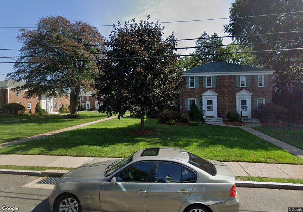
54 Robin Rd Unit A West Hartford, CT 06119
Estimated Value: $215,004 - $244,000
2
Beds
1
Bath
696
Sq Ft
$328/Sq Ft
Est. Value
About This Home
This home is located at 54 Robin Rd Unit A, West Hartford, CT 06119 and is currently estimated at $228,001, approximately $327 per square foot. 54 Robin Rd Unit A is a home located in Hartford County with nearby schools including Morley School, King Philip Middle School, and Hall High School.
Ownership History
Date
Name
Owned For
Owner Type
Purchase Details
Closed on
Jan 24, 2011
Sold by
Jones Troy
Bought by
Grote Walter E and Grote Anne D
Current Estimated Value
Home Financials for this Owner
Home Financials are based on the most recent Mortgage that was taken out on this home.
Original Mortgage
$118,400
Outstanding Balance
$80,101
Interest Rate
4.62%
Estimated Equity
$147,900
Purchase Details
Closed on
May 19, 2006
Sold by
Macgillis Ann F
Bought by
Jones Troy W
Home Financials for this Owner
Home Financials are based on the most recent Mortgage that was taken out on this home.
Original Mortgage
$114,000
Interest Rate
6.42%
Create a Home Valuation Report for This Property
The Home Valuation Report is an in-depth analysis detailing your home's value as well as a comparison with similar homes in the area
Home Values in the Area
Average Home Value in this Area
Purchase History
| Date | Buyer | Sale Price | Title Company |
|---|---|---|---|
| Grote Walter E | $148,000 | -- | |
| Jones Troy W | $143,000 | -- |
Source: Public Records
Mortgage History
| Date | Status | Borrower | Loan Amount |
|---|---|---|---|
| Open | Jones Troy W | $118,400 | |
| Previous Owner | Jones Troy W | $114,000 | |
| Previous Owner | Jones Troy W | $68,000 |
Source: Public Records
Tax History Compared to Growth
Tax History
| Year | Tax Paid | Tax Assessment Tax Assessment Total Assessment is a certain percentage of the fair market value that is determined by local assessors to be the total taxable value of land and additions on the property. | Land | Improvement |
|---|---|---|---|---|
| 2025 | $4,078 | $91,070 | $0 | $91,070 |
| 2024 | $3,857 | $91,070 | $0 | $91,070 |
| 2023 | $3,727 | $91,070 | $0 | $91,070 |
| 2022 | $3,705 | $91,070 | $0 | $91,070 |
| 2021 | $3,551 | $83,720 | $0 | $83,720 |
| 2020 | $3,558 | $85,120 | $0 | $85,120 |
| 2019 | $3,558 | $85,120 | $0 | $85,120 |
| 2018 | $3,490 | $85,120 | $0 | $85,120 |
| 2017 | $3,493 | $85,120 | $0 | $85,120 |
| 2016 | $3,739 | $94,640 | $0 | $94,640 |
| 2015 | $3,626 | $94,640 | $0 | $94,640 |
| 2014 | $3,537 | $94,640 | $0 | $94,640 |
Source: Public Records
Map
Nearby Homes
- 54 Robin Rd Unit B2
- 31 Robin Rd Unit 102
- 26 Robin Rd Unit 3
- 18 Robin Rd Unit 1
- 97 Robin Rd
- 889 Farmington Ave Unit 4E
- 1110 Trout Brook Dr
- 51 Bretton Rd
- 40 Garden Ln
- 42 N Main St Unit 78
- 183 Loomis Dr Unit 104
- 356 Fern St
- 53 Quaker Ln S
- 4 Frederick Rd
- 37 Sylvan Ave
- 16 Lilley Rd
- 89 N Main St
- 10 Farnham Rd
- 12 Farnham Rd
- 101 N Main St
- 54 Robin Rd Unit A2
- 54 Robin Rd Unit D
- 54 Robin Rd Unit C
- 54 Robin Rd Unit B
- 54 Robin Rd Unit b-2
- 54 Robin Rd Unit A-1
- 54 Robin Rd Unit B-1
- 52 Robin Rd Unit D
- 52 Robin Rd Unit C
- 52 Robin Rd Unit B
- 52 Robin Rd Unit A
- 52 Robin Rd Unit B-2
- 52 Robin Rd Unit A-2
- 52 Robin Rd Unit A1
- 50 Robin Rd
- 56 Robin Rd
- 45 Robin Rd
- 48 Robin Rd
- 60 Robin Rd Unit D
- 60 Robin Rd Unit C