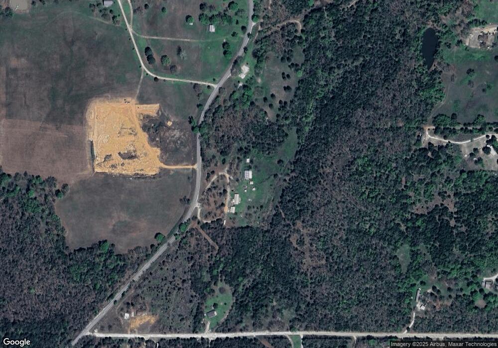
54 Rr 2 Gore, OK 74435
Redbird Smith NeighborhoodEstimated Value: $251,000 - $314,000
3
Beds
2
Baths
1,800
Sq Ft
$152/Sq Ft
Est. Value
About This Home
This home is located at 54 Rr 2, Gore, OK 74435 and is currently estimated at $273,043, approximately $151 per square foot. 54 Rr 2 is a home located in Sequoyah County with nearby schools including Gore Upper Elementary School and Gore High School.
Ownership History
Date
Name
Owned For
Owner Type
Purchase Details
Closed on
Jul 1, 2022
Sold by
Dean L Thompson Revocable Living Trust
Bought by
Denton Ryan
Current Estimated Value
Home Financials for this Owner
Home Financials are based on the most recent Mortgage that was taken out on this home.
Original Mortgage
$196,000
Interest Rate
5.25%
Mortgage Type
New Conventional
Create a Home Valuation Report for This Property
The Home Valuation Report is an in-depth analysis detailing your home's value as well as a comparison with similar homes in the area
Home Values in the Area
Average Home Value in this Area
Purchase History
| Date | Buyer | Sale Price | Title Company |
|---|---|---|---|
| Denton Ryan | $245,000 | New Title Company Name |
Source: Public Records
Mortgage History
| Date | Status | Borrower | Loan Amount |
|---|---|---|---|
| Previous Owner | Denton Ryan | $196,000 |
Source: Public Records
Tax History
| Year | Tax Paid | Tax Assessment Tax Assessment Total Assessment is a certain percentage of the fair market value that is determined by local assessors to be the total taxable value of land and additions on the property. | Land | Improvement |
|---|---|---|---|---|
| 2025 | $1,477 | $14,535 | $2,329 | $12,206 |
| 2024 | $1,477 | $13,843 | $2,218 | $11,625 |
| 2023 | $1,417 | $13,184 | $2,178 | $11,006 |
| 2022 | $916 | $10,110 | $1,670 | $8,440 |
| 2021 | $915 | $10,110 | $1,670 | $8,440 |
| 2020 | $881 | $10,110 | $1,670 | $8,440 |
| 2019 | $970 | $10,110 | $1,748 | $8,362 |
| 2018 | $934 | $9,816 | $1,662 | $8,154 |
| 2017 | $910 | $9,530 | $1,598 | $7,932 |
| 2016 | $997 | $13,239 | $2,178 | $11,061 |
| 2015 | $626 | $8,737 | $1,363 | $7,374 |
| 2014 | $507 | $7,543 | $1,309 | $6,234 |
Source: Public Records
Map
Nearby Homes
- 12865 E 128th St S
- 0000 E 1009 Rd
- 0000 S 4469 Rd
- 446872 E 1011 Rd
- 100134 S 4460 Rd
- 0000 Bootleg Rd
- 447098 E 1000 Rd
- 000000 E 994 Rd
- 00000 E 994 Rd
- 100220 Highway 100
- 98991 S 4471 Rd
- 214 Shady Ln
- 0 Ranch Rd Unit 2541667
- 211 Wildwood Trail
- 400 Dogwood St
- 98413 Oklahoma 100
- 98687 S 4439 Rd
- 100257 Hwy 100
- 0 Highland Park Dr Unit 2539129
- 11155 S Leslie Ln
- 100659 S 4460 Rd
- 446253 E 1009 Rd
- 446159 E 1009 Rd
- 56 Rr 2
- 100836 S 4466 Rd
- 0 E1010 Rd
- 98413 Highway 100
- 98702 Highway 100
- 98780 Hwy 100
- 55 Rr 2
- 12077 S 141st St E
- 449884 E 1000 Rd
- 12074 S 141st St E
- 0 E 1009 Rd Unit 2403091
- 0 E 1009 Rd Unit 2226571
- TBD S 4460 Rd
- 99493 S 4476 Rd
- 99493 S 4476 Rd
- 446621 E 1005 Rd
