54 Sakonnet Point Rd Little Compton, RI 02837
Estimated Value: $1,812,000 - $3,994,000
--
Bed
--
Bath
--
Sq Ft
1.5
Acres
About This Home
This home is located at 54 Sakonnet Point Rd, Little Compton, RI 02837 and is currently estimated at $2,524,002. 54 Sakonnet Point Rd is a home located in Newport County with nearby schools including Wilbur & McMahon School.
Ownership History
Date
Name
Owned For
Owner Type
Purchase Details
Closed on
Jun 5, 1996
Sold by
Field Harold J Est
Bought by
Marshall John E and Marshall Diana
Current Estimated Value
Home Financials for this Owner
Home Financials are based on the most recent Mortgage that was taken out on this home.
Original Mortgage
$240,000
Interest Rate
7.89%
Create a Home Valuation Report for This Property
The Home Valuation Report is an in-depth analysis detailing your home's value as well as a comparison with similar homes in the area
Home Values in the Area
Average Home Value in this Area
Purchase History
| Date | Buyer | Sale Price | Title Company |
|---|---|---|---|
| Marshall John E | $395,000 | -- | |
| Marshall John E | $145,000 | -- |
Source: Public Records
Mortgage History
| Date | Status | Borrower | Loan Amount |
|---|---|---|---|
| Open | Marshall John E | $227,000 | |
| Closed | Marshall John E | $240,000 |
Source: Public Records
Tax History Compared to Growth
Tax History
| Year | Tax Paid | Tax Assessment Tax Assessment Total Assessment is a certain percentage of the fair market value that is determined by local assessors to be the total taxable value of land and additions on the property. | Land | Improvement |
|---|---|---|---|---|
| 2025 | $6,358 | $1,327,300 | $757,400 | $569,900 |
| 2024 | $6,530 | $1,285,400 | $658,100 | $627,300 |
| 2023 | $6,376 | $1,285,400 | $658,100 | $627,300 |
| 2022 | $6,298 | $1,285,400 | $658,100 | $627,300 |
| 2021 | $5,544 | $917,900 | $520,400 | $397,500 |
| 2020 | $5,494 | $917,200 | $520,400 | $396,800 |
| 2019 | $5,439 | $917,200 | $520,400 | $396,800 |
| 2018 | $5,366 | $900,300 | $473,100 | $427,200 |
| 2016 | $5,105 | $900,300 | $473,100 | $427,200 |
| 2015 | $4,769 | $829,400 | $393,900 | $435,500 |
| 2014 | $4,678 | $829,400 | $393,900 | $435,500 |
Source: Public Records
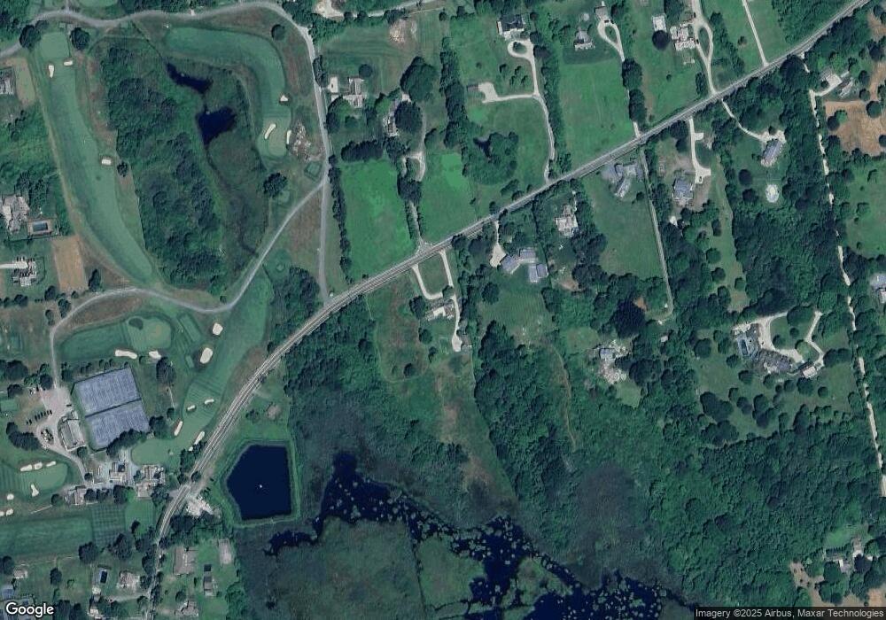
Map
Nearby Homes
- 536 W Main Rd
- 141 S Of Commons Rd
- 18 Old Barn Rd
- 441 W Main Rd
- 128 Maple Ave
- 0 Willow Ave
- 515 Indian Ave
- 304 Brayton Point Rd
- 189 Brayton Point Rd
- 180 W Main Rd
- 17 Ferolbink Way
- 505 Long Hwy
- 62 Howland Ave
- 78 Cornelius Dr
- 155 W Main Rd
- 10 Bartlett Rd
- 255 John Dyer Rd
- 141 Gray Craig Rd
- 16 Sachuest Dr
- 0 Saltwood Dr
- 50 Sakonnet Point Rd
- 66 Sakonnet Point Rd
- 44 Sakonnet Point Rd
- 32 Sakonnet Point Rd
- 80 Sakonnet Point Rd
- 55 Sakonnet Point Rd
- 36 Sakonnet Point Rd
- 15 Baileys Ledge Rd
- 19 Baileys Ledge Rd
- 19 Bailey's Ledge Rd
- 28 Sakonnet Point Rd
- 45 Sakonnet Point Rd
- 35 Sakonnet Point Rd
- 90 Sakonnet Point Rd
- 24 Sakonnet Point Rd
- 27 Sakonnet Point Rd
- 96 Sakonnet Point Rd
- 91 Sakonnet Point Rd
- 54 Baileys Ledge Rd
- 98 Sakonnet Point Rd