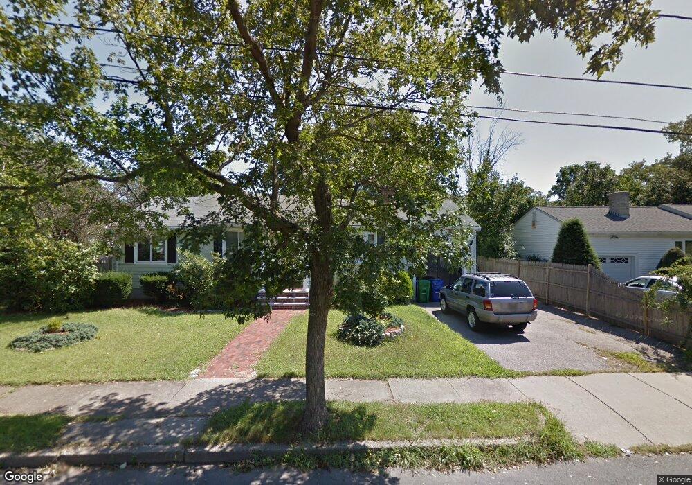
54 Selwyn Rd Newton Highlands, MA 02461
Newton Highlands NeighborhoodEstimated Value: $941,000 - $1,228,000
3
Beds
2
Baths
1,405
Sq Ft
$777/Sq Ft
Est. Value
About This Home
This home is located at 54 Selwyn Rd, Newton Highlands, MA 02461 and is currently estimated at $1,091,224, approximately $776 per square foot. 54 Selwyn Rd is a home located in Middlesex County with nearby schools including Countryside Elementary School, Charles E Brown Middle School, and Newton South High School.
Ownership History
Date
Name
Owned For
Owner Type
Purchase Details
Closed on
Aug 31, 2022
Sold by
Nash Patricia L
Bought by
Loughrea T
Current Estimated Value
Purchase Details
Closed on
Jun 11, 1996
Sold by
Kelly Margaret P
Bought by
Nash David C and Nash Patricia L
Home Financials for this Owner
Home Financials are based on the most recent Mortgage that was taken out on this home.
Original Mortgage
$170,000
Interest Rate
7.89%
Mortgage Type
Purchase Money Mortgage
Purchase Details
Closed on
Mar 23, 1994
Sold by
S&B Fncl Inc and Nash Jeremiah D
Bought by
Kelly Margaret P
Home Financials for this Owner
Home Financials are based on the most recent Mortgage that was taken out on this home.
Original Mortgage
$156,000
Interest Rate
7.15%
Mortgage Type
Purchase Money Mortgage
Create a Home Valuation Report for This Property
The Home Valuation Report is an in-depth analysis detailing your home's value as well as a comparison with similar homes in the area
Home Values in the Area
Average Home Value in this Area
Purchase History
| Date | Buyer | Sale Price | Title Company |
|---|---|---|---|
| Loughrea T | -- | None Available | |
| Nash David C | $200,000 | -- | |
| Kelly Margaret P | $215,000 | -- |
Source: Public Records
Mortgage History
| Date | Status | Borrower | Loan Amount |
|---|---|---|---|
| Previous Owner | Kelly Margaret P | $155,000 | |
| Previous Owner | Kelly Margaret P | $170,000 | |
| Previous Owner | Kelly Margaret P | $156,000 |
Source: Public Records
Tax History Compared to Growth
Tax History
| Year | Tax Paid | Tax Assessment Tax Assessment Total Assessment is a certain percentage of the fair market value that is determined by local assessors to be the total taxable value of land and additions on the property. | Land | Improvement |
|---|---|---|---|---|
| 2025 | $8,190 | $835,700 | $0 | $0 |
| 2024 | $7,917 | $0 | $0 | $0 |
| 2023 | $7,432 | $730,100 | $673,100 | $57,000 |
| 2022 | $7,112 | $676,000 | $623,200 | $52,800 |
| 2021 | $6,862 | $637,700 | $587,900 | $49,800 |
| 2020 | $6,658 | $637,700 | $587,900 | $49,800 |
| 2019 | $6,470 | $619,100 | $570,800 | $48,300 |
| 2018 | $6,128 | $566,400 | $517,200 | $49,200 |
| 2017 | $5,941 | $534,300 | $487,900 | $46,400 |
| 2016 | $5,682 | $499,300 | $456,000 | $43,300 |
| 2015 | $5,417 | $466,600 | $426,200 | $40,400 |
Source: Public Records
Map
Nearby Homes
- 19 Selwyn Rd
- 250 Woodcliff Rd
- 36 Cannon St
- 125 Oakdale Rd
- 628 Boylston St
- 1308 Walnut St
- 671 Boylston St
- 21 Philbrick Rd
- 35 Haynes Rd
- 45 Brandeis Rd
- 1292 Walnut St
- 625 Boylston St
- 42 Sunhill Ln
- 15 Buff Cir
- 116 Upland Ave
- 5 Halcyon Rd
- 1623-1625 Centre St
- 1629 Centre St
- 1597 Centre St Unit 1597
- 1597 Centre St