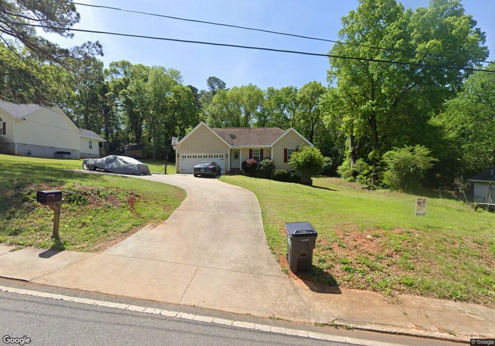
54 Sharp St Forsyth, GA 31029
Estimated Value: $176,700 - $231,000
3
Beds
2
Baths
1,097
Sq Ft
$183/Sq Ft
Est. Value
About This Home
This home is located at 54 Sharp St, Forsyth, GA 31029 and is currently estimated at $201,175, approximately $183 per square foot. 54 Sharp St is a home located in Monroe County with nearby schools including Samuel E. Hubbard Elementary School, Mary Persons High School, and Lighthouse Academy.
Ownership History
Date
Name
Owned For
Owner Type
Purchase Details
Closed on
May 13, 2022
Sold by
Johnson Lakeisha Rosa
Bought by
Johnson Cedric Antwan
Current Estimated Value
Home Financials for this Owner
Home Financials are based on the most recent Mortgage that was taken out on this home.
Original Mortgage
$164,900
Outstanding Balance
$154,818
Interest Rate
4.67%
Mortgage Type
New Conventional
Estimated Equity
$46,357
Purchase Details
Closed on
Apr 24, 2006
Sold by
Not Provided
Bought by
Johnson Lakeisha Rosa
Purchase Details
Closed on
Mar 31, 2006
Purchase Details
Closed on
Oct 20, 1999
Create a Home Valuation Report for This Property
The Home Valuation Report is an in-depth analysis detailing your home's value as well as a comparison with similar homes in the area
Home Values in the Area
Average Home Value in this Area
Purchase History
| Date | Buyer | Sale Price | Title Company |
|---|---|---|---|
| Johnson Cedric Antwan | $170,000 | -- | |
| Johnson Lakeisha Rosa | $98,000 | -- | |
| -- | -- | -- | |
| -- | $24,000 | -- |
Source: Public Records
Mortgage History
| Date | Status | Borrower | Loan Amount |
|---|---|---|---|
| Open | Johnson Cedric Antwan | $164,900 |
Source: Public Records
Tax History
| Year | Tax Paid | Tax Assessment Tax Assessment Total Assessment is a certain percentage of the fair market value that is determined by local assessors to be the total taxable value of land and additions on the property. | Land | Improvement |
|---|---|---|---|---|
| 2025 | $782 | $37,280 | $1,800 | $35,480 |
| 2024 | $782 | $37,280 | $1,800 | $35,480 |
| 2023 | $754 | $31,360 | $1,800 | $29,560 |
| 2022 | $598 | $31,360 | $1,800 | $29,560 |
| 2021 | $616 | $31,360 | $1,800 | $29,560 |
| 2020 | $644 | $31,360 | $1,800 | $29,560 |
| 2019 | $649 | $31,360 | $1,800 | $29,560 |
| 2018 | $650 | $31,360 | $1,800 | $29,560 |
| 2017 | $1,006 | $31,360 | $1,800 | $29,560 |
| 2016 | $623 | $31,360 | $1,800 | $29,560 |
| 2015 | $596 | $31,360 | $1,800 | $29,560 |
| 2014 | $593 | $31,360 | $1,800 | $29,560 |
Source: Public Records
Map
Nearby Homes
- S S Lee St
- 0 S Lee St Unit 10646818
- 0 Georgia 42 Unit 260376
- 101 E Chambers St
- 155 W Johnston St
- 0 Highway 42 S Unit 26159012
- 333 W Main St
- 62 Dew Place
- 452 Sunset Cir
- 285 E Main St
- 60 Dew Place
- 62 Washington Dr
- 200 Indian Springs Dr
- 182 James St
- 419 W Johnston St
- 145 Willis Wilder Dr
- 225 N Indian Springs Dr
- 556 Constitution Dr
- 149 Presidents Way
- 3487 Georgia 42