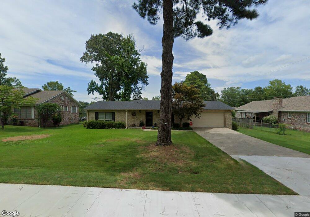
54 Shoshoni Dr Sherwood, AR 72120
Estimated Value: $169,000 - $206,000
--
Bed
2
Baths
1,501
Sq Ft
$124/Sq Ft
Est. Value
About This Home
This home is located at 54 Shoshoni Dr, Sherwood, AR 72120 and is currently estimated at $186,151, approximately $124 per square foot. 54 Shoshoni Dr is a home located in Pulaski County with nearby schools including Clinton Elementary School, Sylvan Hills Middle School, and Sylvan Hills High School.
Ownership History
Date
Name
Owned For
Owner Type
Purchase Details
Closed on
May 18, 2012
Sold by
Smith Ronda J
Bought by
Fletcher Cloyce D and Fletcher Rita K
Current Estimated Value
Home Financials for this Owner
Home Financials are based on the most recent Mortgage that was taken out on this home.
Original Mortgage
$110,000
Outstanding Balance
$76,641
Interest Rate
4.02%
Mortgage Type
New Conventional
Estimated Equity
$109,510
Purchase Details
Closed on
Nov 29, 2006
Sold by
Mitchell Donald Shane and Mitchell Rebecca
Bought by
Smith Ronda J
Home Financials for this Owner
Home Financials are based on the most recent Mortgage that was taken out on this home.
Original Mortgage
$34,350
Interest Rate
6.04%
Mortgage Type
Balloon
Create a Home Valuation Report for This Property
The Home Valuation Report is an in-depth analysis detailing your home's value as well as a comparison with similar homes in the area
Home Values in the Area
Average Home Value in this Area
Purchase History
| Date | Buyer | Sale Price | Title Company |
|---|---|---|---|
| Fletcher Cloyce D | $138,000 | None Available | |
| Smith Ronda J | $138,000 | American Abstract & Title Co |
Source: Public Records
Mortgage History
| Date | Status | Borrower | Loan Amount |
|---|---|---|---|
| Open | Fletcher Cloyce D | $110,000 | |
| Previous Owner | Smith Ronda J | $34,350 | |
| Previous Owner | Smith Ronda J | $103,050 |
Source: Public Records
Tax History Compared to Growth
Tax History
| Year | Tax Paid | Tax Assessment Tax Assessment Total Assessment is a certain percentage of the fair market value that is determined by local assessors to be the total taxable value of land and additions on the property. | Land | Improvement |
|---|---|---|---|---|
| 2025 | $1,419 | $27,232 | $4,500 | $22,732 |
| 2024 | $1,377 | $27,232 | $4,500 | $22,732 |
| 2023 | $1,377 | $27,232 | $4,500 | $22,732 |
| 2022 | $1,411 | $27,232 | $4,500 | $22,732 |
| 2021 | $1,253 | $22,030 | $5,620 | $16,410 |
| 2020 | $1,248 | $22,030 | $5,620 | $16,410 |
| 2019 | $1,248 | $22,030 | $5,620 | $16,410 |
| 2018 | $1,248 | $22,030 | $5,620 | $16,410 |
| 2017 | $1,173 | $22,030 | $5,620 | $16,410 |
| 2016 | $1,074 | $18,970 | $4,800 | $14,170 |
| 2015 | $964 | $18,970 | $4,800 | $14,170 |
| 2014 | $964 | $18,970 | $4,800 | $14,170 |
Source: Public Records
Map
Nearby Homes
- 68 Shoshoni Dr
- 10 Ponca St
- 7416 Glenn Hills Dr
- 2125 Glenn Arbor Ct
- 606 Bay View Ct
- 2125 Gap Creek Dr
- 6813 Gap Point Cir
- 106 Winona Dr
- 11 Whalen Place
- 6901 Gap Point Cir
- 2226 Bearskin Dr
- 201 Bearskin Dr
- 7000 Park Meadows Dr
- 1306 Tupelo Ct
- 2216 Sage Meadows Cir
- 7112 E Ridge Dr
- 6608 Southshore Ln
- 1013 Black Bass Cove
- 8711 Cayuga Ln
- 6 W Laramie Dr