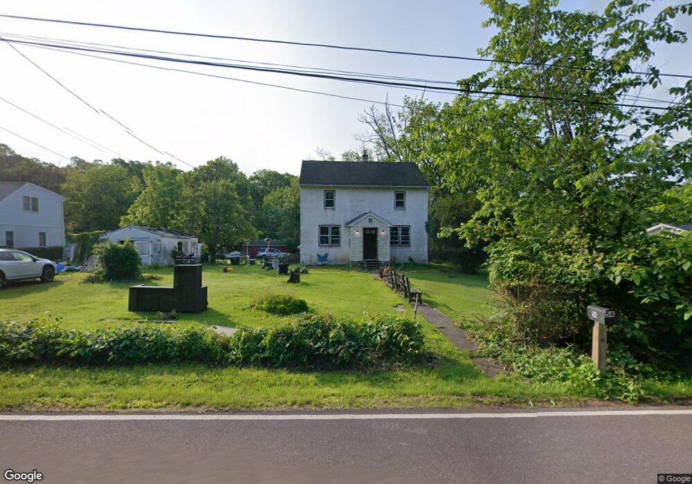
54 Smith Rd Pottstown, PA 19464
Limerick Township NeighborhoodEstimated Value: $345,000 - $391,000
4
Beds
1
Bath
1,944
Sq Ft
$191/Sq Ft
Est. Value
About This Home
This home is located at 54 Smith Rd, Pottstown, PA 19464 and is currently estimated at $370,870, approximately $190 per square foot. 54 Smith Rd is a home located in Montgomery County with nearby schools including Evans Elementary School, Spring-Ford Middle School 8th Grade Center, and Spring-Ford Middle School 5/6/7 Grade Center.
Ownership History
Date
Name
Owned For
Owner Type
Purchase Details
Closed on
Nov 16, 2007
Sold by
Gnap Stanley and Gnapp John
Bought by
Knapp Orrin S
Current Estimated Value
Home Financials for this Owner
Home Financials are based on the most recent Mortgage that was taken out on this home.
Original Mortgage
$110,000
Outstanding Balance
$69,956
Interest Rate
6.48%
Estimated Equity
$300,914
Create a Home Valuation Report for This Property
The Home Valuation Report is an in-depth analysis detailing your home's value as well as a comparison with similar homes in the area
Home Values in the Area
Average Home Value in this Area
Purchase History
| Date | Buyer | Sale Price | Title Company |
|---|---|---|---|
| Knapp Orrin S | $137,500 | None Available |
Source: Public Records
Mortgage History
| Date | Status | Borrower | Loan Amount |
|---|---|---|---|
| Open | Knapp Orrin S | $110,000 |
Source: Public Records
Tax History Compared to Growth
Tax History
| Year | Tax Paid | Tax Assessment Tax Assessment Total Assessment is a certain percentage of the fair market value that is determined by local assessors to be the total taxable value of land and additions on the property. | Land | Improvement |
|---|---|---|---|---|
| 2025 | $4,315 | $111,570 | $34,550 | $77,020 |
| 2024 | $4,315 | $111,570 | $34,550 | $77,020 |
| 2023 | $4,116 | $111,570 | $34,550 | $77,020 |
| 2022 | $3,977 | $111,570 | $34,550 | $77,020 |
| 2021 | $3,883 | $111,570 | $34,550 | $77,020 |
| 2020 | $3,784 | $111,570 | $34,550 | $77,020 |
| 2019 | $3,715 | $111,570 | $34,550 | $77,020 |
| 2018 | $2,795 | $111,570 | $34,550 | $77,020 |
| 2017 | $3,647 | $111,570 | $34,550 | $77,020 |
| 2016 | $3,603 | $111,570 | $34,550 | $77,020 |
| 2015 | $3,448 | $111,570 | $34,550 | $77,020 |
| 2014 | $3,448 | $111,570 | $34,550 | $77,020 |
Source: Public Records
Map
Nearby Homes
- 0 Steinmetz Rd
- 172 Oak Creek Dr
- 94 Presidential Dr
- 59 Houck Rd
- 90 Kurtz Rd
- 0 Industrial Pkwy Unit PAMC2142810
- 300 Deer Run Ct
- 160 Deer Run Ct
- 180 Deer Run Ct
- 790 Doe Ct
- 20 Bunker Way
- 1687 Rupert Rd
- 1629 Rupert Rd
- 609 Village Way
- 601 Village Way
- 00 Bragg Rd
- 303 Carver Ln
- 1180 Rupert Rd
- 405 Village Way
- 107 Carver Ln