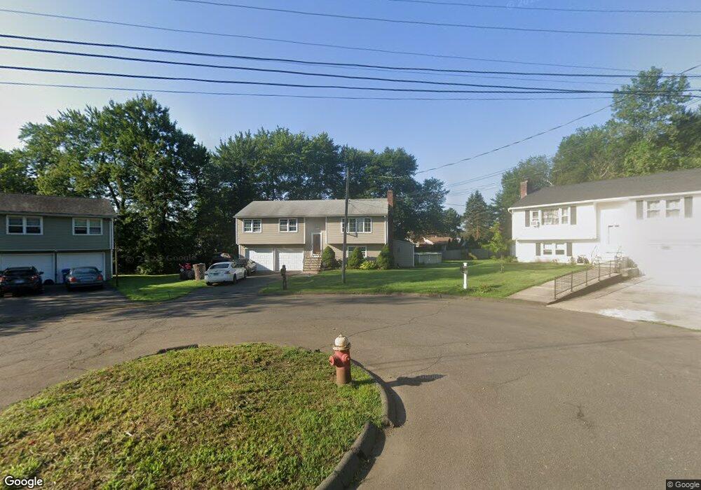
54 Timberlea Dr Meriden, CT 06450
Estimated Value: $357,000 - $367,000
3
Beds
2
Baths
1,806
Sq Ft
$200/Sq Ft
Est. Value
About This Home
This home is located at 54 Timberlea Dr, Meriden, CT 06450 and is currently estimated at $360,958, approximately $199 per square foot. 54 Timberlea Dr is a home located in New Haven County with nearby schools including Israel Putnam School, Washington Middle School, and Francis T. Maloney High School.
Ownership History
Date
Name
Owned For
Owner Type
Purchase Details
Closed on
Jun 10, 2025
Sold by
Ycaza Galo
Bought by
Rivera Laura
Current Estimated Value
Purchase Details
Closed on
Sep 5, 2014
Sold by
Ycaza Galo
Bought by
Ycaza Galo and Rivera Laura
Purchase Details
Closed on
Jun 23, 2000
Sold by
Terrenzi Teri and Terrenzi William J
Bought by
Petersen Erik and Petersen Amy A
Create a Home Valuation Report for This Property
The Home Valuation Report is an in-depth analysis detailing your home's value as well as a comparison with similar homes in the area
Home Values in the Area
Average Home Value in this Area
Purchase History
| Date | Buyer | Sale Price | Title Company |
|---|---|---|---|
| Rivera Laura | -- | None Available | |
| Rivera Laura | -- | None Available | |
| Ycaza Galo | -- | -- | |
| Ycaza Galo | -- | -- | |
| Petersen Erik | $129,000 | -- | |
| Petersen Erik | $129,000 | -- |
Source: Public Records
Mortgage History
| Date | Status | Borrower | Loan Amount |
|---|---|---|---|
| Previous Owner | Petersen Erik | $240,000 | |
| Previous Owner | Petersen Erik | $203,609 | |
| Previous Owner | Petersen Erik | $184,000 |
Source: Public Records
Tax History Compared to Growth
Tax History
| Year | Tax Paid | Tax Assessment Tax Assessment Total Assessment is a certain percentage of the fair market value that is determined by local assessors to be the total taxable value of land and additions on the property. | Land | Improvement |
|---|---|---|---|---|
| 2024 | $6,016 | $165,690 | $56,000 | $109,690 |
| 2023 | $5,764 | $165,690 | $56,000 | $109,690 |
| 2022 | $5,466 | $165,690 | $56,000 | $109,690 |
| 2021 | $5,331 | $130,480 | $46,270 | $84,210 |
| 2020 | $5,331 | $130,480 | $46,270 | $84,210 |
| 2019 | $5,331 | $130,480 | $46,270 | $84,210 |
| 2018 | $5,355 | $130,480 | $46,270 | $84,210 |
| 2017 | $5,209 | $130,480 | $46,270 | $84,210 |
| 2016 | $4,867 | $132,860 | $42,560 | $90,300 |
| 2015 | $4,867 | $132,860 | $42,560 | $90,300 |
| 2014 | $4,748 | $132,860 | $42,560 | $90,300 |
Source: Public Records
Map
Nearby Homes
- 219 S Broad St Unit N217
- 219 S Broad St Unit N205
- 23 Davis St
- 34 Meetinghouse Ridge
- 86 Applewood Dr
- 36 Broad St
- 328 Curtis St
- 54 Meetinghouse Village Unit 2
- 61 Meetinghouse Village Unit 4
- 71 Broad St
- 104 Gale Ave
- 530 Yale Ave
- 560 Yale Ave Unit 5
- 560 Yale Ave Unit 135
- 560 Yale Ave Unit 209
- 1012 Old Colony Rd Unit LOT 54
- 1012 Old Colony Rd Unit 85
- 1012 Old Colony Rd Unit LOT 118
- 73 Lanouette Street Extension
- 136 Sterling Village Unit 136