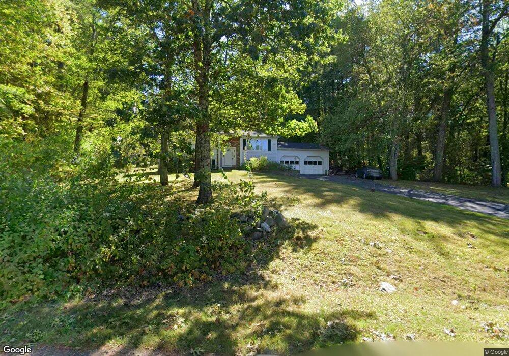
54 Whitney Rd Shirley, MA 01464
Estimated Value: $463,000 - $490,000
3
Beds
2
Baths
1,402
Sq Ft
$342/Sq Ft
Est. Value
About This Home
This home is located at 54 Whitney Rd, Shirley, MA 01464 and is currently estimated at $479,837, approximately $342 per square foot. 54 Whitney Rd is a home located in Middlesex County with nearby schools including Page Hilltop School, Lura A. White Elementary School, and Ayer Shirley Regional Middle School.
Ownership History
Date
Name
Owned For
Owner Type
Purchase Details
Closed on
Jul 9, 2019
Sold by
Trollope Lt
Bought by
Trollope Irt
Current Estimated Value
Purchase Details
Closed on
Feb 25, 2013
Sold by
Trollopi Gary J and Trollopi Arlene D
Bought by
Trollope Lt and Trollopi Gary J
Purchase Details
Closed on
Jun 15, 1981
Bought by
Trollope Gary L and Trollope Arlene D
Create a Home Valuation Report for This Property
The Home Valuation Report is an in-depth analysis detailing your home's value as well as a comparison with similar homes in the area
Home Values in the Area
Average Home Value in this Area
Purchase History
| Date | Buyer | Sale Price | Title Company |
|---|---|---|---|
| Trollope Irt | -- | -- | |
| Trollope Lt | -- | -- | |
| Trollope Gary L | -- | -- |
Source: Public Records
Tax History Compared to Growth
Tax History
| Year | Tax Paid | Tax Assessment Tax Assessment Total Assessment is a certain percentage of the fair market value that is determined by local assessors to be the total taxable value of land and additions on the property. | Land | Improvement |
|---|---|---|---|---|
| 2025 | $50 | $381,800 | $137,000 | $244,800 |
| 2024 | $4,655 | $343,000 | $125,200 | $217,800 |
| 2023 | $4,281 | $301,900 | $125,200 | $176,700 |
| 2022 | $4,506 | $291,100 | $121,300 | $169,800 |
| 2021 | $4,521 | $273,500 | $109,600 | $163,900 |
| 2020 | $4,338 | $269,300 | $109,600 | $159,700 |
| 2019 | $4,261 | $265,000 | $109,600 | $155,400 |
| 2018 | $4,034 | $245,700 | $104,900 | $140,800 |
| 2017 | $3,914 | $236,900 | $101,800 | $135,100 |
| 2016 | $3,857 | $233,600 | $101,800 | $131,800 |
| 2015 | $3,609 | $208,500 | $100,200 | $108,300 |
Source: Public Records
Map
Nearby Homes
- 11 Longwood Dr
- 12 Hazen Rd
- 49 Parker Rd
- 61 Parker Rd
- 878 Flat Hill Rd
- 2 Oakes Landing
- 4 Hill Ln
- 45 Spring St
- 166 Elmwood Rd
- 110 Burrage St
- 4 Ambrose Way Unit 4
- 7 Ambrose Way Unit 5
- 6 Ambrose Way Unit 3
- 17 Ambrose Way Unit 17
- 9 Ambrose Way Unit 9
- 5 Ambrose Way Unit 5
- 3 Ambrose Way Unit 3
- 43 Longley Rd
- 1790 Massachusetts Ave Unit 25
- 1790 Massachusetts Ave Unit 22