540 Andrews Blvd Social Circle, GA 30025
Estimated Value: $649,000 - $1,371,502
--
Bed
1
Bath
3,313
Sq Ft
$281/Sq Ft
Est. Value
About This Home
This home is located at 540 Andrews Blvd, Social Circle, GA 30025 and is currently estimated at $931,376, approximately $281 per square foot. 540 Andrews Blvd is a home located in Walton County with nearby schools including Harmony Elementary School, Carver Middle School, and Monroe Area High School.
Ownership History
Date
Name
Owned For
Owner Type
Purchase Details
Closed on
Sep 30, 2019
Sold by
Toole Lloyd D
Bought by
James L Etheridge Liv Trust
Current Estimated Value
Purchase Details
Closed on
May 26, 2005
Sold by
Robinson Johnnie H and Robinson Judy
Bought by
Toole Lloyd D and Toole Naomi
Home Financials for this Owner
Home Financials are based on the most recent Mortgage that was taken out on this home.
Original Mortgage
$94,614
Interest Rate
5.8%
Create a Home Valuation Report for This Property
The Home Valuation Report is an in-depth analysis detailing your home's value as well as a comparison with similar homes in the area
Home Values in the Area
Average Home Value in this Area
Purchase History
| Date | Buyer | Sale Price | Title Company |
|---|---|---|---|
| James L Etheridge Liv Trust | $239,625 | -- | |
| Toole Lloyd D | $105,200 | -- |
Source: Public Records
Mortgage History
| Date | Status | Borrower | Loan Amount |
|---|---|---|---|
| Previous Owner | Toole Lloyd D | $94,614 |
Source: Public Records
Tax History Compared to Growth
Tax History
| Year | Tax Paid | Tax Assessment Tax Assessment Total Assessment is a certain percentage of the fair market value that is determined by local assessors to be the total taxable value of land and additions on the property. | Land | Improvement |
|---|---|---|---|---|
| 2024 | $11,688 | $425,600 | $99,680 | $325,920 |
| 2023 | $11,123 | $383,800 | $84,320 | $299,480 |
| 2022 | $11,067 | $350,000 | $72,840 | $277,160 |
| 2021 | $1,873 | $57,480 | $57,480 | $0 |
| 2020 | $1,537 | $46,000 | $46,000 | $0 |
| 2019 | $1,524 | $46,000 | $46,000 | $0 |
| 2018 | $1,538 | $46,000 | $46,000 | $0 |
| 2017 | $1,585 | $46,000 | $46,000 | $0 |
| 2016 | $1,236 | $36,400 | $36,400 | $0 |
| 2015 | $1,256 | $36,400 | $36,400 | $0 |
| 2014 | -- | $32,560 | $32,560 | $0 |
Source: Public Records
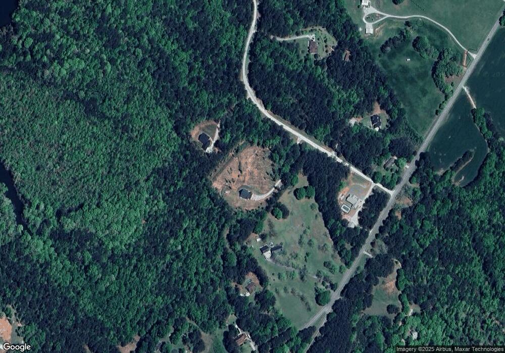
Map
Nearby Homes
- 106 Social Circle Fairplay Rd
- 0 Barton Bridge Rd Unit LOT 1 10441983
- 176 Social Circle Fairplay Rd
- 0 Pannell Rd Unit 10571545
- 0 Browning Shoals Rd Unit 7392331
- 0 Browning Shoals Rd Unit TRACT 1A & 1B
- 2781 Mount Paran Church Rd
- 4115 Mount Paran Dr
- 25 Browning Shoals Rd
- 1953 Barton Bridge Rd
- 382 Knox Chapel Rd
- 3193 Old Monroe Madison Hwy
- 1371 Lipscomb Rd
- 4318 Hester Town Rd
- 4601 Parkwood Rd
- 1217 Lew Dr
- 1725 Double Bridges Rd
- 525 Andrew Blvd
- 550 Andrew Blvd Unit 5
- 550 Andrew Blvd
- 550 Andrew Blvd
- 585 Sandy Ford Rd
- 545 Andrew Blvd
- 535 Andrew Blvd
- 535 Andrews Blvd
- 0 Andrew Blvd Unit 7208512
- 0 Andrew Blvd Unit 3105116
- 0 Andrew Blvd Unit 8370784
- 520 Andrew Blvd
- 605 Sandy Ford Rd
- 560 Sandy Ford Rd
- 525 Andrews Blvd
- 520 Andrews Blvd
- 515 Andrew Blvd
- 835 Sandy Ford Rd
- 0 Sandy Ford Rd Unit 7 3227825
- 0 Sandy Ford Rd Unit 2 7447069