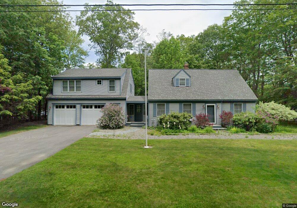
540 Bluff Rd Northport, ME 04849
Estimated Value: $548,000 - $567,518
4
Beds
2
Baths
--
Sq Ft
0.25
Acres
About This Home
This home is located at 540 Bluff Rd, Northport, ME 04849 and is currently estimated at $557,759. 540 Bluff Rd is a home located in Waldo County with nearby schools including Cornerspring Children's House and The School At Sweetser - Belfast.
Ownership History
Date
Name
Owned For
Owner Type
Purchase Details
Closed on
Aug 5, 2019
Sold by
Tubio Joseph A
Bought by
Tubio Joseph A and Salinas-Tubio Laura
Current Estimated Value
Purchase Details
Closed on
Sep 22, 2006
Sold by
Cressey Virginia M and Cressey William W
Bought by
Tubio Joseph A
Home Financials for this Owner
Home Financials are based on the most recent Mortgage that was taken out on this home.
Original Mortgage
$200,000
Interest Rate
6.59%
Mortgage Type
Purchase Money Mortgage
Create a Home Valuation Report for This Property
The Home Valuation Report is an in-depth analysis detailing your home's value as well as a comparison with similar homes in the area
Home Values in the Area
Average Home Value in this Area
Purchase History
| Date | Buyer | Sale Price | Title Company |
|---|---|---|---|
| Tubio Joseph A | -- | -- | |
| Tubio Joseph A | -- | -- | |
| Tubio Joseph A | -- | -- | |
| Tubio Joseph A | -- | -- | |
| Tubio Joseph A | -- | -- | |
| Tubio Joseph A | -- | -- |
Source: Public Records
Mortgage History
| Date | Status | Borrower | Loan Amount |
|---|---|---|---|
| Previous Owner | Tubio Joseph A | $200,000 | |
| Previous Owner | Tubio Joseph A | $52,900 |
Source: Public Records
Tax History Compared to Growth
Tax History
| Year | Tax Paid | Tax Assessment Tax Assessment Total Assessment is a certain percentage of the fair market value that is determined by local assessors to be the total taxable value of land and additions on the property. | Land | Improvement |
|---|---|---|---|---|
| 2024 | $6,606 | $287,600 | $149,900 | $137,700 |
| 2023 | $5,797 | $275,700 | $149,900 | $125,800 |
| 2022 | $5,302 | $275,700 | $149,900 | $125,800 |
| 2021 | $4,993 | $275,700 | $149,900 | $125,800 |
| 2020 | $4,945 | $275,700 | $149,900 | $125,800 |
| 2019 | $5,158 | $281,600 | $149,900 | $131,700 |
| 2018 | $4,089 | $281,600 | $149,900 | $131,700 |
| 2017 | $4,063 | $281,600 | $149,900 | $131,700 |
| 2016 | $3,985 | $281,600 | $149,900 | $131,700 |
| 2015 | $3,788 | $274,500 | $149,900 | $124,600 |
| 2014 | $4,474 | $274,500 | $149,900 | $124,600 |
| 2013 | $3,884 | $274,500 | $149,900 | $124,600 |
Source: Public Records
Map
Nearby Homes
- 48 George St
- 14 Auditorium Park
- 0 Smith Ridge Rd
- 49 Bayside Rd
- 95 Bayside Rd
- Lot 26 Mariners Watch Rd
- L 58 Part Horse Jockey Ln
- 1025 Douglas Dr
- 11 Tozier St
- 285 Northport Ave
- Lot # 3 Ocean Ridge Rd
- 1145 Moosewood Ln
- 381 Atlantic Hwy
- 155 Bayside Dr
- 173 Bog Rd
- 225 Priest Rd
- 18 Bayside Dr
- 223 Priest Rd
- 139 Prescott Hill Rd
- 321 Atlantic Hwy