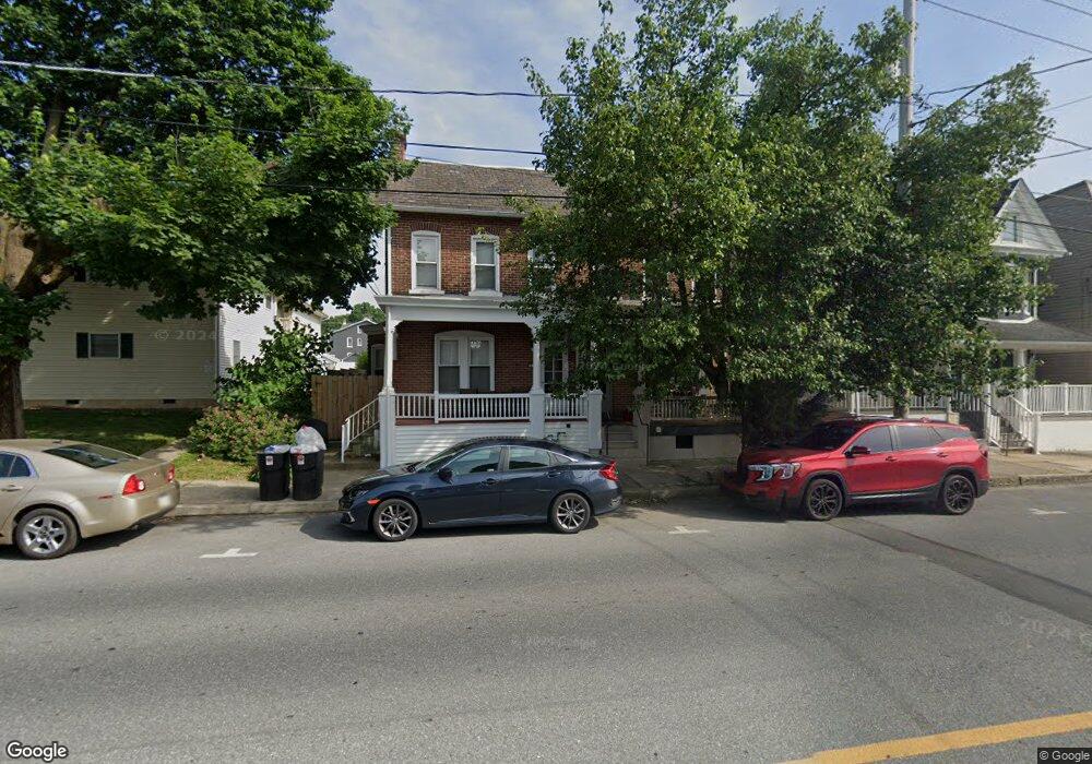
540 Broad St Emmaus, PA 18049
Estimated Value: $241,679 - $287,000
3
Beds
1
Bath
1,496
Sq Ft
$176/Sq Ft
Est. Value
About This Home
This home is located at 540 Broad St, Emmaus, PA 18049 and is currently estimated at $262,670, approximately $175 per square foot. 540 Broad St is a home located in Lehigh County with nearby schools including Lincoln Elementary School, Lower Macungie Middle School, and Emmaus High School.
Ownership History
Date
Name
Owned For
Owner Type
Purchase Details
Closed on
May 14, 1992
Sold by
Derby Fred M and Derby Betty M
Bought by
Michael Phillip and Michael Krisanne
Current Estimated Value
Purchase Details
Closed on
Feb 15, 1990
Sold by
Henry Robert S Estate
Bought by
Derby Fred M and Derby Betty M
Create a Home Valuation Report for This Property
The Home Valuation Report is an in-depth analysis detailing your home's value as well as a comparison with similar homes in the area
Home Values in the Area
Average Home Value in this Area
Purchase History
| Date | Buyer | Sale Price | Title Company |
|---|---|---|---|
| Michael Phillip | $85,000 | -- | |
| Derby Fred M | -- | -- |
Source: Public Records
Tax History
| Year | Tax Paid | Tax Assessment Tax Assessment Total Assessment is a certain percentage of the fair market value that is determined by local assessors to be the total taxable value of land and additions on the property. | Land | Improvement |
|---|---|---|---|---|
| 2026 | $4,127 | $113,800 | $12,700 | $101,100 |
| 2025 | $4,009 | $113,800 | $12,700 | $101,100 |
| 2024 | $3,672 | $113,800 | $12,700 | $101,100 |
| 2023 | $3,600 | $113,800 | $12,700 | $101,100 |
| 2022 | $3,482 | $113,800 | $101,100 | $12,700 |
| 2021 | $3,395 | $113,800 | $12,700 | $101,100 |
| 2020 | $3,365 | $113,800 | $12,700 | $101,100 |
| 2019 | $3,275 | $113,800 | $12,700 | $101,100 |
| 2018 | $3,152 | $113,800 | $12,700 | $101,100 |
| 2017 | $3,055 | $113,800 | $12,700 | $101,100 |
| 2016 | -- | $113,800 | $12,700 | $101,100 |
| 2015 | -- | $113,800 | $12,700 | $101,100 |
| 2014 | -- | $113,800 | $12,700 | $101,100 |
Source: Public Records
Map
Nearby Homes
- 122 S 4th St
- 530 Chestnut St
- 343 Broad St
- 630 Walnut St
- 615 Fairview St
- 615-619 Fairview St
- 42 N 4th St
- 543 Long St
- 390 Fairview St Unit 390
- 108 MacUngie Ave
- 118-122 N 2nd St
- 534 Seem St Unit 540
- 118 N 2nd St
- 443 N 3rd St
- 120 Harrison St
- 630 N 2nd St
- 97 Chestnut Hill Rd
- 28 Harrison St
- 4109 Eveningstar Rd
- 125 E Elm St
- 542 Broad St
- 538 Broad St
- 544 Broad St
- 532 Broad St Unit 5
- 532 Broad St Unit 2
- 532 Broad St
- 548 Broad St
- 546 Broad St
- 550 Broad St
- 552 Broad St
- 554 Broad St
- 556 Broad St
- 526 Broad St Unit 1
- 526 Broad St Unit 7
- 526 Broad St
- 526 Broad St Unit 2
- 526 Broad St Unit 4
- 558 Broad St
- 537 Minor St
- 537 Broad St
Your Personal Tour Guide
Ask me questions while you tour the home.