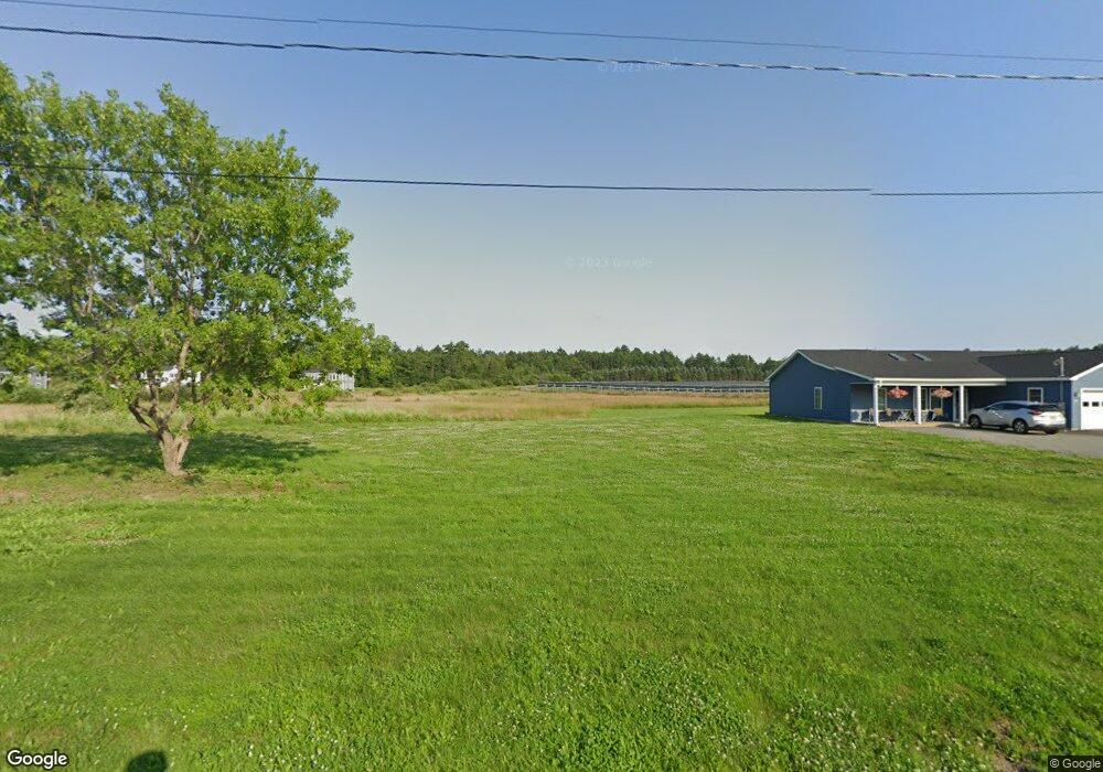
540 Davis Rd Bangor, ME 04401
Capehart NeighborhoodEstimated Value: $397,000 - $452,000
3
Beds
3
Baths
1,544
Sq Ft
$274/Sq Ft
Est. Value
About This Home
This home is located at 540 Davis Rd, Bangor, ME 04401 and is currently estimated at $422,899, approximately $273 per square foot. 540 Davis Rd is a home with nearby schools including Downeast School, Fairmount School, and James F. Doughty School.
Ownership History
Date
Name
Owned For
Owner Type
Purchase Details
Closed on
Dec 17, 2021
Sold by
Team Properties Llc
Bought by
Phillips Robert L and Phillips Frances M
Current Estimated Value
Home Financials for this Owner
Home Financials are based on the most recent Mortgage that was taken out on this home.
Original Mortgage
$292,500
Outstanding Balance
$270,185
Interest Rate
3.11%
Mortgage Type
Stand Alone Refi Refinance Of Original Loan
Estimated Equity
$152,714
Create a Home Valuation Report for This Property
The Home Valuation Report is an in-depth analysis detailing your home's value as well as a comparison with similar homes in the area
Home Values in the Area
Average Home Value in this Area
Purchase History
| Date | Buyer | Sale Price | Title Company |
|---|---|---|---|
| Phillips Robert L | -- | None Available | |
| Phillips Robert L | -- | None Available |
Source: Public Records
Mortgage History
| Date | Status | Borrower | Loan Amount |
|---|---|---|---|
| Open | Phillips Robert L | $292,500 | |
| Closed | Phillips Robert L | $292,500 |
Source: Public Records
Tax History
| Year | Tax Paid | Tax Assessment Tax Assessment Total Assessment is a certain percentage of the fair market value that is determined by local assessors to be the total taxable value of land and additions on the property. | Land | Improvement |
|---|---|---|---|---|
| 2024 | $5,903 | $318,200 | $51,300 | $266,900 |
| 2023 | $5,280 | $275,700 | $48,400 | $227,300 |
| 2022 | $6,612 | $242,600 | $48,400 | $194,200 |
| 2021 | $870 | $36,100 | $36,100 | $0 |
| 2020 | $0 | $34,300 | $34,300 | $0 |
| 2019 | $856 | $34,300 | $34,300 | $0 |
| 2018 | $863 | $35,600 | $35,600 | $0 |
| 2017 | $0 | $35,600 | $35,600 | $0 |
| 2016 | -- | $35,600 | $35,600 | $0 |
| 2015 | -- | $35,600 | $35,600 | $0 |
| 2014 | -- | $35,600 | $35,600 | $0 |
Source: Public Records
Map
Nearby Homes
- 26 Knoll Crest Dr
- 76 Knoll Crest Dr
- 1699 Ohio St
- 1677 Ohio St
- 42 Sugarloaf Ln
- 1677 Ohio Res St
- 1765 Ohio St
- 30 Yankee Ave
- 42 Yankee Ave
- 1343 Ohio St Unit 20
- 1192 Ohio St
- 70 Shepherd Dr
- 2101 Ohio St
- 153 Finson Rd
- 850 Ohio St
- 2541 Union (00 Union) St
- 2317&2327 Broadway
- 826 Ohio St Unit 6
- 54 Pine Ledge Rd
- Lot #19 Broadway
- 00 Davis Rd
- 520 Davis Rd
- 519 Davis Rd
- 510 Davis Rd
- 505 Davis Rd
- 489 Davis Rd
- 51 Magnolia Hill Rd
- 19 Magnolia Hill Rd
- 35 Magnolia Hill Rd
- 0 Davis
- 81 Magnolia Rd
- 500 Davis Rd
- 1801 Union St
- 1801 Union St
- Lot D Davis Rd
- 95 Magnolia Hill Rd
- 40 Magnolia Hill Rd
- 20 Magnolia Hill Rd
- 68 Magnolia Hill Rd
- 1732 Ohio St
Your Personal Tour Guide
Ask me questions while you tour the home.