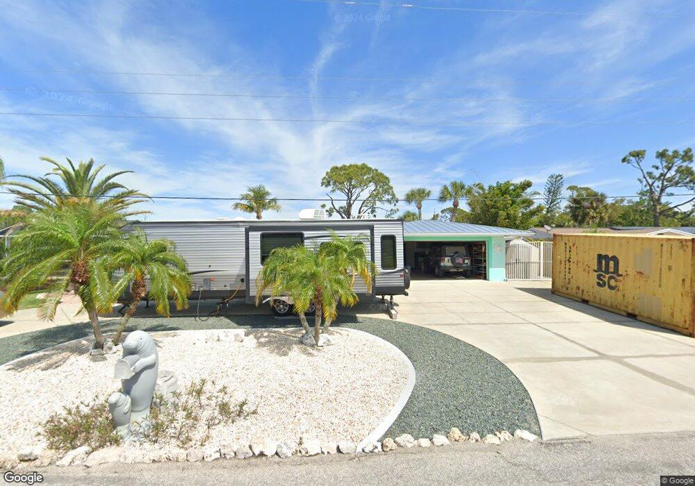
540 Denburn Ct Englewood, FL 34223
Central Englewood NeighborhoodEstimated Value: $339,000 - $534,000
2
Beds
2
Baths
1,819
Sq Ft
$239/Sq Ft
Est. Value
About This Home
This home is located at 540 Denburn Ct, Englewood, FL 34223 and is currently estimated at $434,411, approximately $238 per square foot. 540 Denburn Ct is a home located in Sarasota County with nearby schools including Englewood Elementary School, L.A. Ainger Middle School, and Lemon Bay High School.
Ownership History
Date
Name
Owned For
Owner Type
Purchase Details
Closed on
Mar 29, 1995
Sold by
Pearsall Richard J and Pearsall Kathryn J
Bought by
Devine Lawrence F and Cain Maureen H
Current Estimated Value
Home Financials for this Owner
Home Financials are based on the most recent Mortgage that was taken out on this home.
Original Mortgage
$109,250
Interest Rate
8.49%
Create a Home Valuation Report for This Property
The Home Valuation Report is an in-depth analysis detailing your home's value as well as a comparison with similar homes in the area
Home Values in the Area
Average Home Value in this Area
Purchase History
| Date | Buyer | Sale Price | Title Company |
|---|---|---|---|
| Devine Lawrence F | $115,000 | -- |
Source: Public Records
Mortgage History
| Date | Status | Borrower | Loan Amount |
|---|---|---|---|
| Closed | Devine Lawrence F | $109,250 |
Source: Public Records
Tax History Compared to Growth
Tax History
| Year | Tax Paid | Tax Assessment Tax Assessment Total Assessment is a certain percentage of the fair market value that is determined by local assessors to be the total taxable value of land and additions on the property. | Land | Improvement |
|---|---|---|---|---|
| 2024 | $1,482 | $160,994 | -- | -- |
| 2023 | $1,482 | $110,705 | $0 | $0 |
| 2022 | $1,988 | $153,081 | $0 | $0 |
| 2021 | $1,966 | $148,622 | $0 | $0 |
| 2020 | $2,050 | $146,570 | $0 | $0 |
| 2019 | $2,136 | $143,275 | $0 | $0 |
| 2018 | $2,071 | $140,604 | $0 | $0 |
| 2017 | $2,051 | $137,712 | $0 | $0 |
| 2016 | $2,036 | $164,000 | $50,900 | $113,100 |
| 2015 | $2,056 | $163,800 | $60,300 | $103,500 |
| 2014 | $2,043 | $130,915 | $0 | $0 |
Source: Public Records
Map
Nearby Homes
- 560 Sandlor Dr
- 510 Sandlor Dr
- 0 Bertrend St
- 155 Jose Gaspar Dr Unit 155
- 148 Jose Gaspar Dr Unit 148
- 145 Jose Gaspar Dr Unit 145
- 208 High Point Dr Unit 208B
- 1410 San Jose Dr
- 670 and 672 Harvey St
- 530 Michigan Ave
- 760 S Oxford Dr
- 110 S Oxford Dr
- 735 Bertrend St
- 26 Quails Run Blvd Unit 7
- 0 E Langsner St
- 330 E Fray St
- 1530 Rossanne Place
- 731 Harvey St
- 645 Liberty St
- 1 Quails Run Blvd Unit 2
- 550 Denburn Ct
- 545 Denburn Ct
- 535 Denburn Ct
- 555 Denburn Ct
- 560 Denburn Ct
- 525 Denburn Ct
- 565 Denburn Ct
- 570 Denburn Ct
- 398 S Oxford Dr
- 540 Sandlor Dr
- 530 Sandlor Dr
- 575 Denburn Ct
- 550 Sandlor Dr
- 580 Denburn Ct
- 360 S Oxford Dr
- 585 Denburn Ct
- 570 Sandlor Dr
- 590 Denburn Ct
- 535 Sandlor Dr
- 580 Sandlor Dr