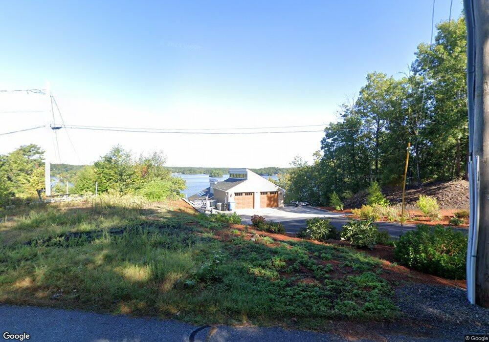
540 Eastside Rd Wrentham, MA 02093
Estimated Value: $1,357,833 - $1,462,000
2
Beds
2
Baths
952
Sq Ft
$1,489/Sq Ft
Est. Value
About This Home
This home is located at 540 Eastside Rd, Wrentham, MA 02093 and is currently estimated at $1,417,958, approximately $1,489 per square foot. 540 Eastside Rd is a home located in Norfolk County with nearby schools including Delaney Elementary School and Charles E Roderick.
Ownership History
Date
Name
Owned For
Owner Type
Purchase Details
Closed on
Nov 24, 2010
Sold by
S M Lorusso & Sons Inc
Bought by
Titov Sergey and Titov Galina
Current Estimated Value
Create a Home Valuation Report for This Property
The Home Valuation Report is an in-depth analysis detailing your home's value as well as a comparison with similar homes in the area
Home Values in the Area
Average Home Value in this Area
Purchase History
| Date | Buyer | Sale Price | Title Company |
|---|---|---|---|
| Titov Sergey | $35,000 | -- | |
| Titov Sergev | $215,000 | -- |
Source: Public Records
Tax History Compared to Growth
Tax History
| Year | Tax Paid | Tax Assessment Tax Assessment Total Assessment is a certain percentage of the fair market value that is determined by local assessors to be the total taxable value of land and additions on the property. | Land | Improvement |
|---|---|---|---|---|
| 2025 | $12,851 | $1,108,800 | $435,200 | $673,600 |
| 2024 | $12,966 | $1,080,500 | $435,200 | $645,300 |
| 2023 | $13,185 | $1,044,800 | $390,100 | $654,700 |
| 2022 | $10,183 | $744,900 | $320,900 | $424,000 |
| 2021 | $12,006 | $853,300 | $354,700 | $498,600 |
| 2020 | $11,749 | $824,500 | $361,000 | $463,500 |
| 2019 | $11,922 | $844,300 | $373,900 | $470,400 |
| 2018 | $12,244 | $859,800 | $374,300 | $485,500 |
| 2017 | $12,031 | $844,300 | $367,100 | $477,200 |
| 2016 | $12,359 | $865,500 | $356,500 | $509,000 |
| 2015 | $13,076 | $872,900 | $342,700 | $530,200 |
| 2014 | $6,715 | $438,600 | $329,600 | $109,000 |
Source: Public Records
Map
Nearby Homes
- Lot 3 - 14 Earle Stewart Ln
- Lot 1 - Blueberry 2 Car Plan at King Philip Estates
- Lot 8 - Blueberry 2 Car Plan at King Philip Estates
- Lot 5 - Hughes 2 car Plan at King Philip Estates
- Lot 6 - Blueberry 3 Car Plan at King Philip Estates
- Lot 2 - Camden 2 Car Plan at King Philip Estates
- Lot 7 - Cedar Plan at King Philip Estates
- Lot 4 - Hemingway 2 Car Plan at King Philip Estates
- Lot 3 - Blueberry 2 Car Plan at King Philip Estates
- 11 Earle Stewart Ln
- 131 Creek St Unit 7
- 570 Franklin St
- 791 South St Unit 5
- 10 Nature View Dr
- 15 Nature View Dr
- 319 Taunton St
- 440 Chestnut St
- 270 Dedham St
- 155 Clark Rd Unit 155
- 1 Lorraine Metcalf Dr
- 540 E Side Rd
- 530 Eastside Rd
- 550 Eastside Rd
- 560 Eastside Rd
- 580 Eastside Rd
- 590 Eastside Rd
- 600 Eastside Rd
- 640 Eastside Rd
- 610 Eastside Rd
- 175 Pokanoket Path
- 650 Eastside Rd
- 165 Pokanoket Path
- 660 Eastside Rd
- 155 Pokanoket Path
- 500 Eastside Rd
- 670 Eastside Rd
- 145 Pokanoket Path
- 490 Eastside Rd
- 680 Eastside Rd
- 135 Pokanoket Path