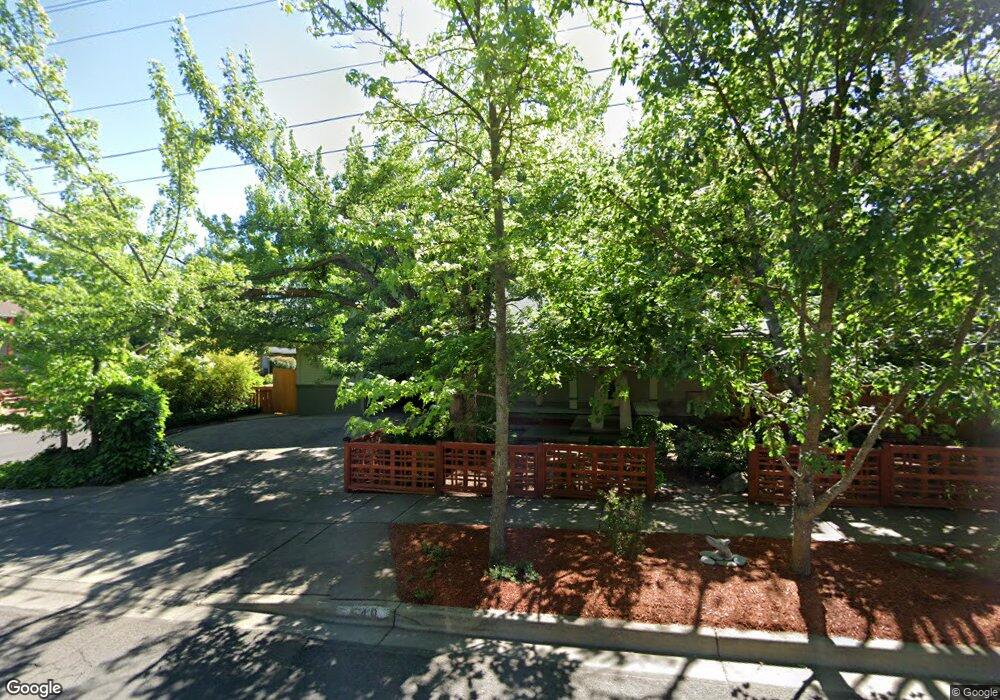
540 Fordyce St Ashland, OR 97520
Mill Pond NeighborhoodEstimated Value: $713,000 - $1,023,000
3
Beds
3
Baths
2,616
Sq Ft
$313/Sq Ft
Est. Value
About This Home
This home is located at 540 Fordyce St, Ashland, OR 97520 and is currently estimated at $819,511, approximately $313 per square foot. 540 Fordyce St is a home located in Jackson County with nearby schools including Walker Elementary School, Ashland Middle School, and Ashland High School.
Ownership History
Date
Name
Owned For
Owner Type
Purchase Details
Closed on
Apr 27, 2018
Sold by
Steers Justin Todd
Bought by
Steers Justin T and Steers Family Trust
Current Estimated Value
Purchase Details
Closed on
Aug 5, 2008
Sold by
Wedemeyer Bonnibelle A and Wedemeyer Adam H
Bought by
Steers Jennifer Paige and Steers Justin Todd
Purchase Details
Closed on
Sep 13, 2005
Sold by
Sever Donald
Bought by
Wedemeyer Bonnibelle A and Wedemeyer Adam H
Purchase Details
Closed on
Jun 2, 1998
Sold by
Sturdevant Roland F and Sturdevant Evern D
Bought by
Sever Donald and Sever Cynthia
Home Financials for this Owner
Home Financials are based on the most recent Mortgage that was taken out on this home.
Original Mortgage
$94,500
Interest Rate
7.03%
Create a Home Valuation Report for This Property
The Home Valuation Report is an in-depth analysis detailing your home's value as well as a comparison with similar homes in the area
Home Values in the Area
Average Home Value in this Area
Purchase History
We collect this data history from publicly available records. To have your information removed, we recommend requesting removal directly through your county’s website.
| Date | Buyer | Sale Price | Title Company |
|---|---|---|---|
| Steers Justin T | -- | None Available | |
| Steers Jennifer Paige | $630,000 | Amerititle | |
| Wedemeyer Bonnibelle A | $650,000 | Lawyers Title Insurance Corp | |
| Sever Donald | $105,000 | Jackson County Title |
Source: Public Records
Mortgage History
We collect this data history from publicly available records. To have your information removed, we recommend requesting removal directly through your county’s website.
| Date | Status | Borrower | Loan Amount |
|---|---|---|---|
| Previous Owner | Sever Donald | $94,500 |
Source: Public Records
Tax History
| Year | Tax Paid | Tax Assessment Tax Assessment Total Assessment is a certain percentage of the fair market value that is determined by local assessors to be the total taxable value of land and additions on the property. | Land | Improvement |
|---|---|---|---|---|
| 2026 | $7,087 | $433,740 | $198,000 | $235,740 |
| 2025 | $6,938 | $447,470 | $113,290 | $334,180 |
| 2024 | $6,938 | $434,440 | $109,990 | $324,450 |
| 2023 | $6,712 | $421,790 | $106,780 | $315,010 |
| 2022 | $6,496 | $421,790 | $106,780 | $315,010 |
| 2021 | $6,275 | $409,510 | $103,670 | $305,840 |
| 2020 | $6,099 | $397,590 | $100,650 | $296,940 |
| 2019 | $6,003 | $374,770 | $94,870 | $279,900 |
| 2018 | $5,671 | $363,860 | $92,110 | $271,750 |
| 2017 | $5,629 | $363,860 | $92,110 | $271,750 |
| 2016 | $5,483 | $342,990 | $86,820 | $256,170 |
| 2015 | $5,271 | $342,990 | $86,820 | $256,170 |
| 2014 | $5,100 | $323,310 | $81,840 | $241,470 |
Source: Public Records
Map
Nearby Homes
- 112 N Wightman St
- 147 Blue Heron Ln
- 1259 Hagen Way
- 2082 E Main St
- 62 N Mountain Ave
- 58 N Mountain Ave Unit 58
- 115 California St
- 1084 E Main St
- 140 Lincoln St
- 65 S Mountain Ave
- 485 Larkspur Ln
- 128 S Mountain Ave
- 479 Russell St Unit 202
- 500 Starflower Ln
- 36 Dewey St
- 24 Dewey St
- 746 C St
- 190 Walker Ave
- 545 A St
- 391 Clinton St Unit 5200
Your Personal Tour Guide
Ask me questions while you tour the home.