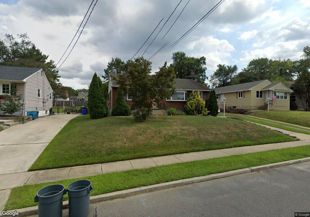
540 Hirsch Ave Runnemede, NJ 08078
Estimated Value: $297,861 - $359,000
Studio
--
Bath
1,120
Sq Ft
$294/Sq Ft
Est. Value
About This Home
This home is located at 540 Hirsch Ave, Runnemede, NJ 08078 and is currently estimated at $329,215, approximately $293 per square foot. 540 Hirsch Ave is a home located in Camden County with nearby schools including Mary E. Volz Elementary School, Bingham Elementary School, and Triton High School.
Ownership History
Date
Name
Owned For
Owner Type
Purchase Details
Closed on
Jan 9, 2004
Sold by
Pearce Joseph L
Bought by
Garcia Joseph and Casanova Hilda E
Current Estimated Value
Home Financials for this Owner
Home Financials are based on the most recent Mortgage that was taken out on this home.
Original Mortgage
$148,568
Outstanding Balance
$69,094
Interest Rate
5.82%
Estimated Equity
$260,121
Purchase Details
Closed on
Jul 24, 2003
Sold by
Pearce Joseph L
Bought by
Pearce Joseph L and Pearce Lisa
Purchase Details
Closed on
Dec 11, 1998
Sold by
Estate Of John A Sonessa
Bought by
Pearce Joseph L
Home Financials for this Owner
Home Financials are based on the most recent Mortgage that was taken out on this home.
Original Mortgage
$91,207
Interest Rate
6.89%
Mortgage Type
FHA
Create a Home Valuation Report for This Property
The Home Valuation Report is an in-depth analysis detailing your home's value as well as a comparison with similar homes in the area
Home Values in the Area
Average Home Value in this Area
Purchase History
| Date | Buyer | Sale Price | Title Company |
|---|---|---|---|
| Garcia Joseph | $150,900 | -- | |
| Pearce Joseph L | -- | -- | |
| Pearce Joseph L | $91,500 | -- |
Source: Public Records
Mortgage History
| Date | Status | Borrower | Loan Amount |
|---|---|---|---|
| Open | Garcia Joseph | $148,568 | |
| Previous Owner | Pearce Joseph L | $91,207 |
Source: Public Records
Tax History
| Year | Tax Paid | Tax Assessment Tax Assessment Total Assessment is a certain percentage of the fair market value that is determined by local assessors to be the total taxable value of land and additions on the property. | Land | Improvement |
|---|---|---|---|---|
| 2025 | $6,636 | $138,800 | $47,500 | $91,300 |
| 2024 | $6,064 | $138,800 | $47,500 | $91,300 |
| 2023 | $6,064 | $138,800 | $47,500 | $91,300 |
| 2022 | $5,871 | $138,800 | $47,500 | $91,300 |
| 2021 | $5,732 | $138,800 | $47,500 | $91,300 |
| 2020 | $5,676 | $138,800 | $47,500 | $91,300 |
| 2019 | $5,571 | $138,800 | $47,500 | $91,300 |
| 2018 | $5,465 | $138,800 | $47,500 | $91,300 |
| 2017 | $5,324 | $138,800 | $47,500 | $91,300 |
| 2016 | $5,258 | $138,800 | $47,500 | $91,300 |
| 2015 | $5,273 | $138,800 | $47,500 | $91,300 |
| 2014 | $5,205 | $138,800 | $47,500 | $91,300 |
Source: Public Records
Map
Nearby Homes
- 524 Hirsch Ave
- 206 W 5th Ave
- 60 N Oakland Ave
- 311 Bowers Ave
- 20 N Oakland Ave
- 850 Orchard Ave
- 102 W Clements Bridge Rd
- 29 W 4th Ave
- 37 S Read Ave
- 22 W 6th Ave
- 16 W 5th Ave
- 924 W Evesham Rd
- 511 N Black Horse Pike
- 1 Whaler Ave
- 5 Whaler Ave
- 9 Whaler Ave
- 1050 Woodland Ave
- 38 Robert Dr
- 120 E 4th Ave
- 535 Roosevelt Ave
- 544 Hirsch Ave
- 536 Hirsch Ave
- 548 Hirsch Ave
- 532 Hirsch Ave
- 377 Center Ave
- 373 Center Ave
- 381 Center Ave
- 375 Center Ave
- 385 Center Ave
- 545 Hirsch Ave
- 541 Hirsch Ave
- 618 Hirsch Ave
- 549 Hirsch Ave
- 365 Center Ave
- 537 Hirsch Ave
- 403 Center Ave
- 614 Hirsch Ave
- 533 Hirsch Ave
- 361 Center Ave
- 501 Dettmar Terrace
Your Personal Tour Guide
Ask me questions while you tour the home.